Rum Pond Trail
 Photo: daveynin, CC BY 2.0 (via Flickr)
- 1.9 mi
- one way
- 99 ft
- climb
- 707 ft
- high point
- Point to point
- route
- May, Aug–Oct
- best months
Rum Pond Trail is a short, easy hike in Baxter State Park in Maine, managed by State Park and Recreation. The trail is about 1.9 miles long, with a low point of 628 feet and a high of 707 feet, and it gains about 99 feet in elevation. The route is a point-to-point path, and the steepest stretch comes at about 1.4 miles in, with a grade of about 6 percent. Summer is the most comfortable time to go. Typical averages from a nearby weather station in Millinocket show July and August highs around 78°F with lows in the mid-50s, while winter highs stay in the 20s. The trail sits close to several other routes. Kettle Pond Trail is just 0.1 mile away, and Cranberry Pond Trail is about half a mile off. Roaring Brook Road, a cross-country ski route, is about 1.2 miles away. For climbing, Katahdin is roughly 2.9 miles from the trail.
Local outfitters
- Northeast Whitewater46 mi away
Not on Roamze yet. Their page has how to reach them.
Best time to go · May, Aug–Oct
Best time to visit Rum Pond Trail
Best months: May and August–October. Best months have typical highs of 55–85 °F, lows of 30 °F or warmer (32 °F where the station doesn't record snow), at most one snowy day and no more than 12 wet days.
Jan
24° / 5°
10 wet
Feb
26° / 6°
9 wet
Mar
36° / 16°
10 wet
Apr
50° / 30°
10 wet
May
64° / 41°
12 wet
Jun
74° / 51°
13 wet
Jul
78° / 57°
13 wet
Aug
78° / 56°
11 wet
Sep
70° / 48°
11 wet
Oct
55° / 37°
12 wet
Nov
43° / 27°
11 wet
Dec
31° / 15°
11 wet
Typical high / low (°F) and days with rain or snow, 1991–2020. Measured at Millinocket, ME, 16.4 mi away at 360 ft. This station doesn't record snowfall. Source: NOAA NCEI U.S. Climate Normals 1991–2020.
Keep exploring — more trails worth the drive
Photo: daveynin, CC BY 2.0 (via Flickr)Kettle Pond Trail
Next door
Kettle Pond Trail is a 1.79-mile point-to-point trail in Maine with 324 ft of elevation gain.
 Photo: barry.pousman, CC BY 2.0 (via Flickr)
Abol Slide Trail
~7 min drive
2.87-mile point-to-point trail in Maine with 192 ft gain and 3,388 ft loss.
 Photo: davidwilson1949, CC BY 2.0 (via Flickr)
Dudley Trail
~9 min drive
Dudley Trail is a 1.56-mile point-to-point trail in Maine with 2,358 ft of elevation gain.
Photo: daveynin, CC BY 2.0 (via Flickr)Cranberry Pond Trail
Next door
Easy point-to-point trail through Maine wetlands near Cranberry Pond.
 Photo: barry.pousman, CC BY 2.0 (via Flickr)
Hunt Trail
~9 min drive
9.42-mile out-and-back trail in Maine with 4,319 ft gain and 5,209 ft max elevation.
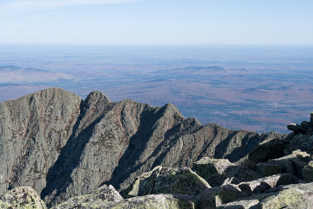 Photo: Pat Spinney, CC BY 2.0 (via Flickr)
Chimney Pond Trail
~9 min drive
3.08-mile point-to-point trail in Maine with 1,480 ft gain
 Photo: daveynin, CC BY 2.0 (via Flickr)
Logan Pond Trail
~3 min drive
1.7-mile out-and-back trail in Maine with 189 ft elevation gain.
Photo: Pat Spinney, CC BY 2.0 (via Flickr)North Peaks Trail
~10 min drive
5.16-mile point-to-point trail in Maine with 243 ft gain and 3,332 ft loss
Photo: barry.pousman, CC BY 2.0 (via Flickr)Owl Trail
~9 min drive
Owl Trail is a 1.97-mile point-to-point trail in Maine with 2,169 ft of elevation gain.
Photo: barry.pousman, CC BY 2.0 (via Flickr)Baxter Peak Cutoff Trail
~7 min drive
0.92-mile point-to-point trail in Maine with 291 ft elevation gain.
Map and trail data © OpenStreetMap contributors
