Hunt Trail
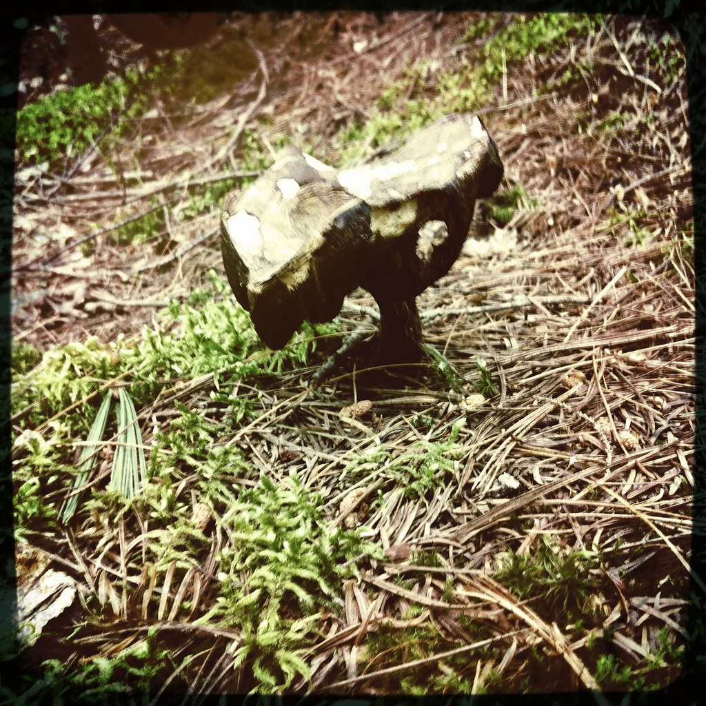 Photo: barry.pousman, CC BY 2.0 (via Flickr)
- 4.7 mi
- round trip
- 4,319 ft
- climb
- 5,209 ft
- high point
- Out and back
- route
Is Hunt Trail open right now?
Closure in the area
There's a closure order in Appalachian National Scenic Trail. It doesn't name Hunt Trail, so check the source for the area it covers.
List of trail closures post-Hurricane Helene
Park closure covering Appalachian National Scenic Trail · NPS · Appalachian National Scenic Trail
Black Bears Frequenting the McAfee Knob Area in Virginia
Park alert covering Appalachian National Scenic Trail · NPS · Appalachian National Scenic Trail
As of · Source: NPS · Appalachian National Scenic Trail. Agencies don't list every closure — check before you go.
Hunt Trail is a hard hike in Maine's Baxter State Park, where it crosses the Appalachian National Scenic Trail. The route is an out-and-back of about 9.4 miles, with a total elevation gain of about 4,319 feet. The trail starts at 1,104 feet and climbs to a high point of 5,209 feet, and the steepest stretch comes at about 3 miles in, with a grade of 48 percent. The climb is front-loaded, so the hardest part of the hike is early on. The trail is managed by State Park and Recreation, and the estimated time for the trip is about 5.5 hours. The Appalachian Trail and Owl Trail both lie about a mile away, and the Tracy and Elbow Ponds Trail is about 1.2 miles off. For climbing, Katahdin is roughly 5.9 miles away.
Local outfitters
- Northeast Whitewater46 mi away
Not on Roamze yet. Their page has how to reach them.
Conditions and forecast on Hunts Peak
Daily highs and lows, wind and the chance of precipitation at the summit and route start for the next 7 days, from the Open-Meteo model.
- Appalachian TrailHikingPhoto: barry.pousman, CC BY 2.0 (via Flickr)1 mi
- Owl TrailHikingPhoto: barry.pousman, CC BY 2.0 (via Flickr)1 mi
- Lost Pond TrailCross-country skiing1.2 mi
- Tracy and Elbow Ponds TrailHiking1.2 mi
- West Branch Penobscot RiverRiver fishing3.7 mi
- Chimney Pond ("South") Basin - Summer Rock RoutesRock climbing4.7 mi
 North BasinRock climbingPhoto: Famartin, CC BY-SA 4.0 (via Wikimedia Commons)5.4 mi
- KatahdinRock climbing5.9 mi
Source: Roamze catalog (indexable pages within 10 miles, PostGIS distance)
- Appalachian TrailHiking · ~2 min drivePhoto: barry.pousman, CC BY 2.0 (via Flickr)
- Owl TrailHiking · ~2 min drivePhoto: barry.pousman, CC BY 2.0 (via Flickr)
 Abol Slide TrailHiking · ~5 min drivePhoto: barry.pousman, CC BY 2.0 (via Flickr)
- Doubletop TrailHiking · ~8 min drive
 Slaughter PondHiking · ~5 min drivePhoto: flatluigi, CC BY 2.0 (via Flickr)
- Lily Pad Pond TrailHiking · ~3 min drivePhoto: flatluigi, CC BY 2.0 (via Flickr)
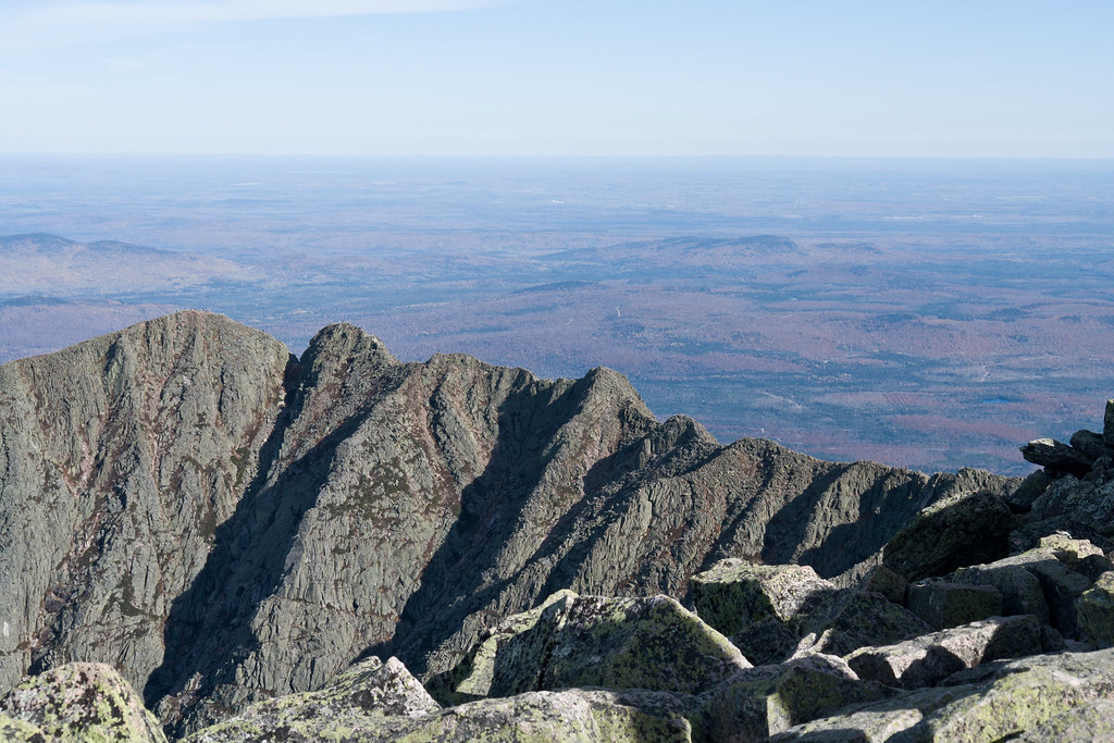 North Peaks TrailHiking · ~7 min drivePhoto: Pat Spinney, CC BY 2.0 (via Flickr)
- Baxter Peak Cutoff TrailHiking · ~5 min drivePhoto: barry.pousman, CC BY 2.0 (via Flickr)
- Sentinel Mountain TrailHiking · ~4 min drivePhoto: flatluigi, CC BY 2.0 (via Flickr)
- Oji TrailHiking · ~5 min drive
Route details
- Distance
- 4.7 mi round trip
- Climbing
- About 4,319 ft
- Summit
- 3,860 ft
- Difficulty
- Hard
- Time
- About 3.5 hours
Questions about this route
How long is the Hunt Trail on Hunts Peak?
About 4.7 mi round trip.
How much elevation gain is on the Hunt Trail?
About 4,319 ft of climbing round trip.
How hard is the Hunt Trail?
It is rated hard.
How long does the Hunt Trail take?
About 3.5 hours round trip.
Map and trail data © OpenStreetMap contributors
