Talona Mountain
 Photo: Thomson20192, CC0 (via Wikimedia Commons)
- 2,081 ft
- summit
- Mar–Nov
- best months
Talona Mountain is a summit in Georgia, rising to 2,081 feet about 2.4 miles from the town of East Ellijay. It is a straightforward objective for anyone exploring the area around East Ellijay, with the town close enough to make it an easy addition to a day spent in the surrounding hills. Spring and fall are the most comfortable times to go. Typical averages from a nearby weather station in Jasper show October highs around 69°F with lows near 50°F, and May highs around 75°F. That station sits about 600 feet lower than the summit, so temperatures on top run cooler. Several other outings lie within a short drive. Riverside Park Trail is about 3.7 miles away, and Tumbling Waters Nature Trail is about 6.8 miles off. For an overnight stay, Doll Mountain Day Use Area Shelter is about 7.1 miles away, and Talking Rock Creek offers canoeing about 8 miles from the mountain.
Conditions and forecast
Daily highs and lows, wind and the chance of precipitation at the summit for the next 7 days, from the Open-Meteo model.
- Summit elevation
- 2,081 ft
Elevation from USGS 3D Elevation Program terrain data (about 10 m resolution).
We don't know of a mapped trail or route to the summit of Talona Mountain. Plan the approach with local maps, a guidebook or a local guide, and check conditions before you go.
Questions about Talona Mountain
How tall is Talona Mountain?
2,081 ft (634 m).
Is there a trail to the top of Talona Mountain?
We don't know of a mapped trail or route to the summit. Plan the approach with local maps, a guidebook or a local guide.
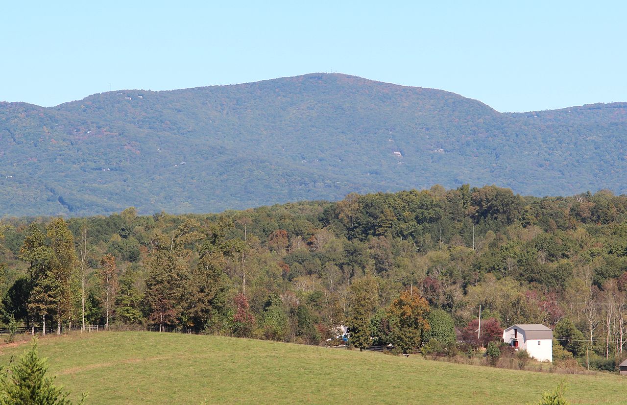 Mount Oglethorpe3,282 ft · Georgia3 routes13 mi awayPhoto: Thomson200, CC0 (via Wikimedia Commons)
- Rocky Mountain3,443 ft · Georgia1 route15 mi away
- Fort Mountain2,851 ft · Georgia2 routes16 mi away
 Springer Mountain3,780 ft · Georgia1 route17 mi awayPhoto: Mark Larson, CC BY-SA 2.0 (via Wikimedia Commons)
- Green Mountain2,554 ft · Georgia2 routes17 mi away
- Ball Mountain3,647 ft · Georgia1 route17 mi away
- Riverside Park TrailHiking3.7 mi
- Tumbling Waters Nature TrailHiking6.8 mi
 Doll Mountain Day Use Area ShelterCampingPhoto: Recreation.gov (RIDB) / public domain7.1 mi
 Talking Rock CreekCanoeingPhoto: John Phelan, CC BY 4.0 (via Wikimedia Commons)8 mi
- Mollie Mountain TrailHiking8.4 mi
 Woodring Day Use Area ShelterCampingPhoto: Recreation.gov (RIDB) / public domain8.5 mi
- Damsite Day Use Area ShelterCamping9.5 mi
- Conasauga CreekCanoeing9.8 mi
Source: Roamze catalog (indexable pages within 10 miles, PostGIS distance)
 Sharptop MountainSummit · ~19 min drivePhoto: Thomson M, CC BY 3.0 (via Wikimedia Commons)
 Sharp MountainSummit · ~23 min drivePhoto: Thomson200, CC0 (via Wikimedia Commons)
- Mount OglethorpeSummit · ~23 min drivePhoto: Thomson200, CC0 (via Wikimedia Commons)
- Springer MountainSummit · ~29 min drivePhoto: Mark Larson, CC BY-SA 2.0 (via Wikimedia Commons)
 Bald MountainSummit · ~31 min drivePhoto: Thomson M, CC BY 3.0 (via Wikimedia Commons)
 Grassy MountainSummit · ~32 min drivePhoto: Thomson200, CC0 (via Wikimedia Commons)
 Pine Log MountainSummit · ~39 min drivePhoto: Thomson200, CC0 (via Wikimedia Commons)
 Bear MountainSummit · ~40 min drivePhoto: Thomson200, CC0 (via Wikimedia Commons)
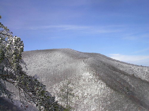 Big Frog MountainSummit · ~44 min drivePhoto: Kevin Eldon, CC BY 2.0 (via Wikimedia Commons)
 Baugh MountainSummit · ~53 min drivePhoto: Thomson200, CC0 (via Wikimedia Commons)
Best time to visit Talona Mountain
Best months: March–November. Best months have typical highs of 55–85 °F, lows of 30 °F or warmer (32 °F where the station doesn't record snow), at most one snowy day and no more than 12 wet days.
Jan
48° / 31°
10 wet · 1 snow
Feb
52° / 34°
9 wet
Mar
60° / 40°
10 wet
Apr
68° / 47°
9 wet
May
75° / 55°
9 wet
Jun
82° / 63°
10 wet
Jul
85° / 67°
11 wet
Aug
84° / 66°
9 wet
Sep
79° / 61°
8 wet
Oct
69° / 50°
8 wet
Nov
59° / 40°
8 wet
Dec
51° / 35°
10 wet
Typical high / low (°F) and days with rain or snow, 1991–2020. Measured at Jasper 1 Nnw, GA, 11 mi away at 1,465 ft. The station sits about 600 ft lower than this place, so expect it a little cooler here. Source: NOAA NCEI U.S. Climate Normals 1991–2020.

