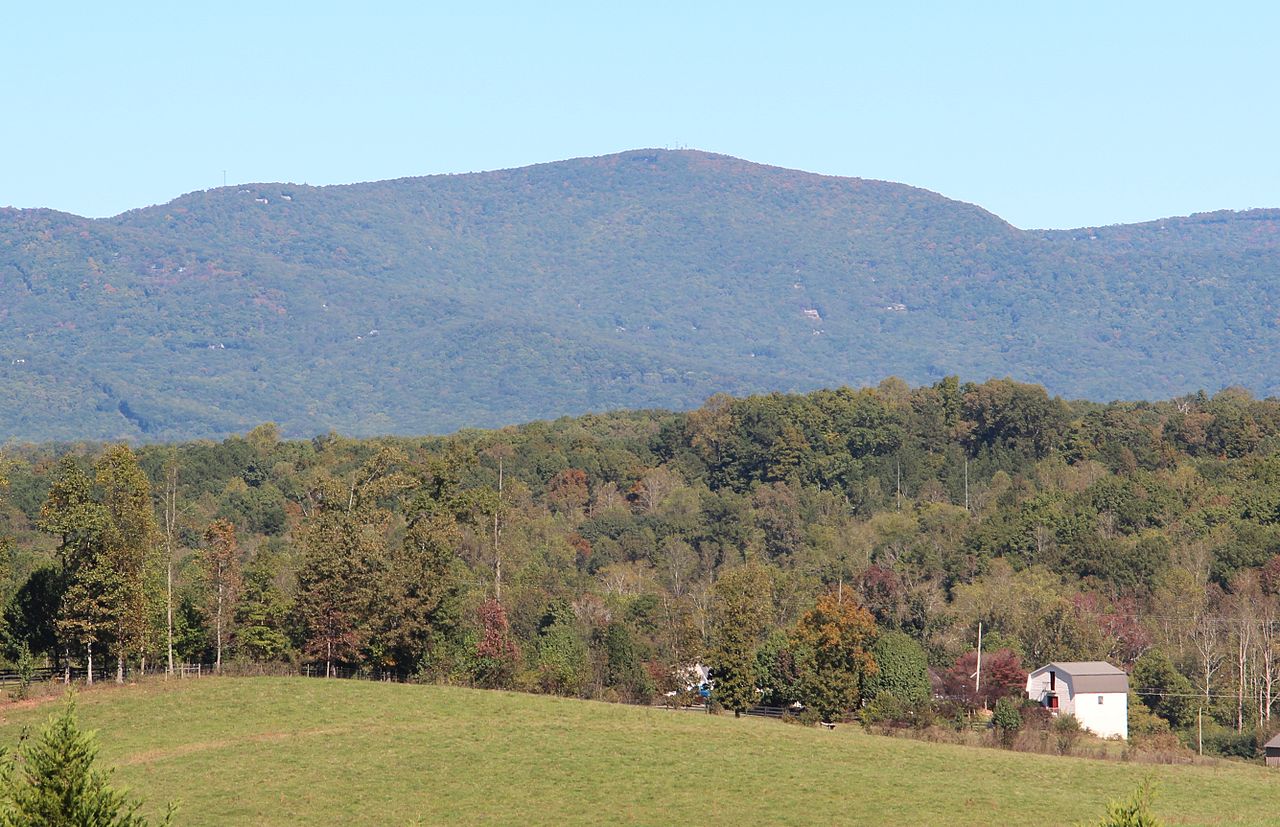
Pine Log Mountain
 Photo: Thomson200, CC0 (via Wikimedia Commons)
- 2,330 ft
- summit
- Mar–Nov
- best months
Pine Log Mountain is a summit in Georgia, rising to 2,330 feet about 5.4 miles from the town of Waleska. It sits in the state's northwestern corner, close to a cluster of trails, climbing areas and paddling waters. Spring and fall are the most comfortable times to visit. Typical averages from a nearby weather station in Jasper show October highs around 69°F with lows near 50°F, and April highs around 68°F. That station sits roughly 865 feet lower than the summit, so temperatures on top run cooler. The Waleska climbing area is about 1.6 miles away, and the Wilderness Trail and Flat Rock Trail are both within about 2 miles. For an overnight stay, Sweetwater Campground lies about 9.4 miles off.
Conditions and forecast
Daily highs and lows, wind and the chance of precipitation at the summit for the next 7 days, from the Open-Meteo model.
- Summit elevation
- 2,330 ft
Elevation from USGS 3D Elevation Program terrain data (about 10 m resolution).
We don't know of a mapped trail or route to the summit of Pine Log Mountain. Plan the approach with local maps, a guidebook or a local guide, and check conditions before you go.
Questions about Pine Log Mountain
How tall is Pine Log Mountain?
2,330 ft (710 m).
Is there a trail to the top of Pine Log Mountain?
We don't know of a mapped trail or route to the summit. Plan the approach with local maps, a guidebook or a local guide.
 Pine Mountain1,556 ft · Georgia5 routes12 mi awayPhoto: Thomson200, CC0 (via Wikimedia Commons)
- Red Top Mountain1,067 ft · Georgia1 route12 mi away
 Mount Oglethorpe3,282 ft · Georgia3 routes21 mi awayPhoto: Thomson200, CC0 (via Wikimedia Commons)
 Kennesaw Mountain1,803 ft · Georgia1 route24 mi awayPhoto: Thomson200, CC0 (via Wikimedia Commons)
 Little Kennesaw Mountain1,622 ft · Georgia2 routes24 mi awayPhoto: Thomson200, CC0 (via Wikimedia Commons)
- Pigeon Hill1,255 ft · Georgia2 routes25 mi away
- WaleskaRock climbing1.6 mi
- Wilderness TrailHiking1.8 mi
- Flat Rock TrailHiking2.2 mi
- Pine Log WMARock climbing5.1 mi
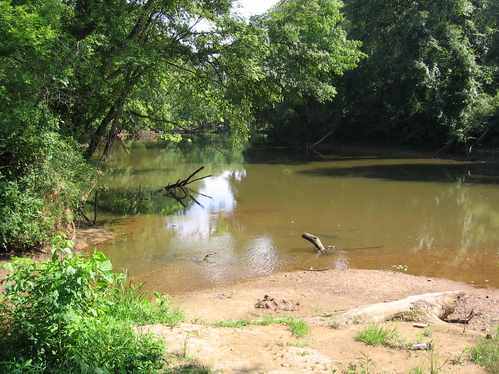
 Pine Log CreekCanoeingPhoto: John Phelan, CC BY 4.0 (via Wikimedia Commons)8.4 mi
 Salacoa CreekCanoeingPhoto: John Phelan, CC BY 4.0 (via Wikimedia Commons)8.4 mi
- Sweetwater Day Use Area (ga)Camping9.2 mi
- Sweetwater CampgroundCamping9.4 mi
Source: Roamze catalog (indexable pages within 10 miles, PostGIS distance)
 Bear MountainSummit · ~1 min drivePhoto: Thomson200, CC0 (via Wikimedia Commons)
 Sharp MountainSummit · ~19 min drivePhoto: Thomson200, CC0 (via Wikimedia Commons)
- Pine MountainSummit · ~20 min drivePhoto: Thomson200, CC0 (via Wikimedia Commons)
 Vineyard MountainSummit · ~21 min drivePhoto: Thomson200, CC0 (via Wikimedia Commons)
 Quarry MountainSummit · ~28 min drivePhoto: Thomson200, CC0 (via Wikimedia Commons)
 Sproull MountainSummit · ~30 min drivePhoto: Thomson200, CC0 (via Wikimedia Commons)
 Hodge MountainSummit · ~32 min drivePhoto: Thomson200, CC0 (via Wikimedia Commons)
 Sharptop MountainSummit · ~33 min drivePhoto: Thomson M, CC BY 3.0 (via Wikimedia Commons)
- Mount OglethorpeSummit · ~36 min drivePhoto: Thomson200, CC0 (via Wikimedia Commons)
 Talona MountainSummit · ~39 min drivePhoto: Thomson20192, CC0 (via Wikimedia Commons)
Best time to visit Pine Log Mountain
Best months: March–November. Best months have typical highs of 55–85 °F, lows of 30 °F or warmer (32 °F where the station doesn't record snow), at most one snowy day and no more than 12 wet days.
Jan
48° / 31°
10 wet · 1 snow
Feb
52° / 34°
9 wet
Mar
60° / 40°
10 wet
Apr
68° / 47°
9 wet
May
75° / 55°
9 wet
Jun
82° / 63°
10 wet
Jul
85° / 67°
11 wet
Aug
84° / 66°
9 wet
Sep
79° / 61°
8 wet
Oct
69° / 50°
8 wet
Nov
59° / 40°
8 wet
Dec
51° / 35°
10 wet
Typical high / low (°F) and days with rain or snow, 1991–2020. Measured at Jasper 1 Nnw, GA, 15.2 mi away at 1,465 ft. The station sits about 900 ft lower than this place, so expect it a little cooler here. Source: NOAA NCEI U.S. Climate Normals 1991–2020.