Big Frog Mountain
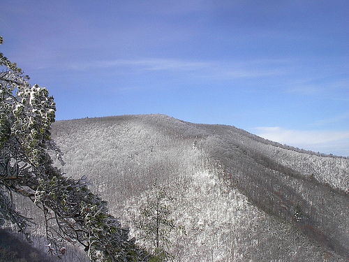 Photo: Kevin Eldon, CC BY 2.0 (via Wikimedia Commons)
- 4,219 ft
- summit
- 1
- way up
Is Big Frog Mountain open right now?
Closure in the area
There's a closure order in Cherokee National Forest. It doesn't name Big Frog Mountain, so check the source for the area it covers (2 listed).
Ocoee River Flooding Damage - Nov 5
Agency closure covering Cherokee National Forest · USFS · Cherokee National Forest
Campsite limitations
Agency closure covering Cherokee National Forest · Order 08-04-00-22-180 · USFS · Cherokee National Forest
Emergency road closures due to storm damage
Agency alert covering Cherokee National Forest · USFS · Cherokee National Forest
As of · Source: USFS · Cherokee National Forest. Agencies don't list every closure — check before you go.
Big Frog Mountain is a summit in the Big Frog Wilderness, part of the Ocoee Ranger District of Cherokee National Forest in southeastern Tennessee. The nearest town is Copperhill, about 8 miles away. The Hemp Top trail starts right beside the summit, about 0.1 mile away, and the Big Creek and Wolf Ridge hikes lie within about 2 miles. For a place to stay, Thunder Rock Campground is roughly 6 miles off, near the Ocoee River.
Conditions and forecast
Daily highs and lows, wind and the chance of precipitation at the summit and route start for the next 7 days, from the Open-Meteo model.
- Summit elevation
- 4,219 ft
Elevation from USGS 3D Elevation Program terrain data (about 10 m resolution).
Map © Mapbox © OpenStreetMap contributors Questions about Big Frog Mountain
How tall is Big Frog Mountain?
4,219 ft (1,286 m).
How many routes go to the summit of Big Frog Mountain?
One: Hemp Top.
- Chestnut Mountain3,027 ft · Tennessee2 routes1.5 mi away
- Bearpen Hill2,646 ft · Tennessee1 route2.0 mi away
- Hemp Top3,576 ft · Georgia1 route2.1 mi away
 Bald Mountain4,004 ft · Georgia1 route11 mi awayPhoto: Thomson M, CC BY 3.0 (via Wikimedia Commons)
 Grassy Mountain3,693 ft · Georgia1 route12 mi awayPhoto: Thomson200, CC0 (via Wikimedia Commons)
- Bean Mountain3,017 ft · Tennessee1 route13 mi away
- Hemp TopHiking0.1 mi
- Big CreekHiking1.5 mi
- Wolf RidgeHiking1.9 mi
- Jacks RiverRiver fishing4.9 mi
- Ocoee RiverRiver fishing5.2 mi
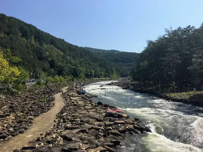 Thunder Rock CampgroundCampingPhoto: Recreation.gov (RIDB) / public domain5.8 mi
- GoForth Creek BouldersRock climbing6 mi
- Cottonwood Patch CampgroundCamping6.4 mi
Source: Roamze catalog (indexable pages within 10 miles, PostGIS distance)
- Bald MountainSummit · ~19 min drivePhoto: Thomson M, CC BY 3.0 (via Wikimedia Commons)
- Grassy MountainSummit · ~21 min drivePhoto: Thomson200, CC0 (via Wikimedia Commons)
 Talona MountainSummit · ~44 min drivePhoto: Thomson20192, CC0 (via Wikimedia Commons)
 Springer MountainSummit · ~55 min drivePhoto: Mark Larson, CC BY-SA 2.0 (via Wikimedia Commons)
 Sharptop MountainSummit · ~1h drivePhoto: Thomson M, CC BY 3.0 (via Wikimedia Commons)
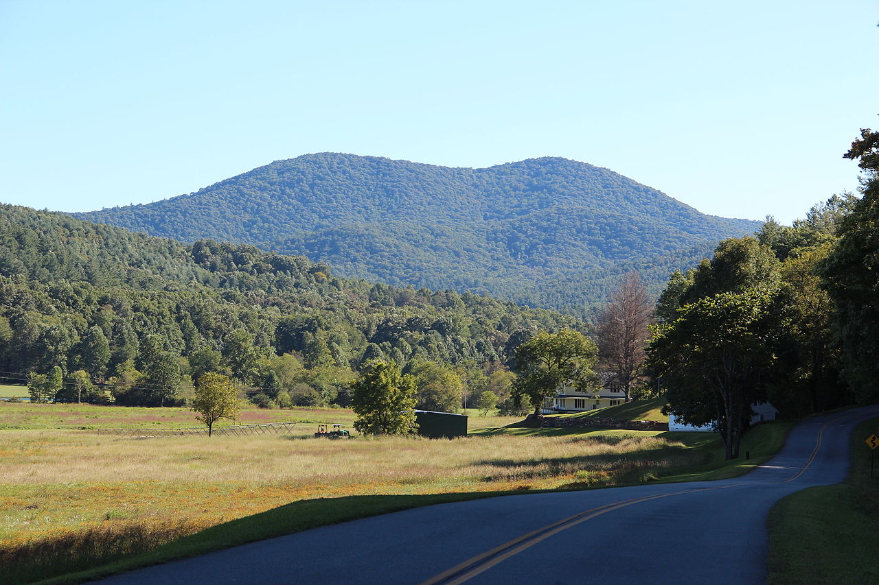 Big John Dick MountainSummit · ~48 min drivePhoto: Thomson200, CC0 (via Wikimedia Commons)
- Chestnut MountainSummit · ~3 min drive
- Bearpen HillSummit · ~3 min drive
- Hemp TopSummit · ~4 min drive
- Buckeye MountainSummit · ~10 min drive


