Springer Mountain
 Photo: Mark Larson, CC BY-SA 2.0 (via Wikimedia Commons)
- 3,780 ft
- summit
- 1
- way up
Is Springer Mountain open right now?
Closure in the area
There's a closure order in Chattahoochee-Oconee National Forests. It doesn't name Springer Mountain, so check the source for the area it covers (6 listed).
West Cowpen, FS Road 17, Road Maintenance
Agency closure covering Chattahoochee-Oconee National Forests · USFS · Chattahoochee-Oconee National Forests
Bear Creek Road, FS 241, Temporarily Closed
Agency closure covering Chattahoochee-Oconee National Forests · USFS · Chattahoochee-Oconee National Forests
Prescribed fire on Oconee Ranger District at Jasper County
Agency closure covering Chattahoochee-Oconee National Forests · USFS · Chattahoochee-Oconee National Forests
Muskrat Road, FS 218, Temporarily Closed
Agency closure covering Chattahoochee-Oconee National Forests · USFS · Chattahoochee-Oconee National Forests
List of trail closures post-Hurricane Helene
Park closure covering Appalachian National Scenic Trail · NPS · Appalachian National Scenic Trail
As of · Source: USFS · Chattahoochee-Oconee National Forests. Agencies don't list every closure — check before you go.
Springer Mountain is a summit of about 3,780 feet in Fannin County, Georgia, within the Appalachian National Scenic Trail corridor. It lies in the Blue Ridge Ranger District of the Chattahoochee-Oconee National Forests, about 14 miles from Dahlonega. The Appalachian Trail passes about a mile away, and Bull Mountain is roughly 1.3 miles off. Ball Mountain Trail is about 2 miles away, and Cochran Falls, a climbing area, is about 3.5 miles away.
Conditions and forecast
Daily highs and lows, wind and the chance of precipitation at the summit and route start for the next 7 days, from the Open-Meteo model.
- Summit elevation
- 3,780 ft
Elevation from USGS 3D Elevation Program terrain data (about 10 m resolution).
Map © Mapbox © OpenStreetMap contributors Questions about Springer Mountain
How tall is Springer Mountain?
3,780 ft (1,152 m).
How many routes go to the summit of Springer Mountain?
One: Appalachian Approach Trail - Georgia.
When is the best time to climb Springer Mountain?
Year-round.
- Ball Mountain3,647 ft · Georgia1 route0.6 mi away
- Bull Mountain2,335 ft · Georgia2 routes3.2 mi away
- Greasy Mountain3,412 ft · Georgia2 routes5.0 mi away
- Rhodes Mountain3,398 ft · Georgia1 route12 mi away
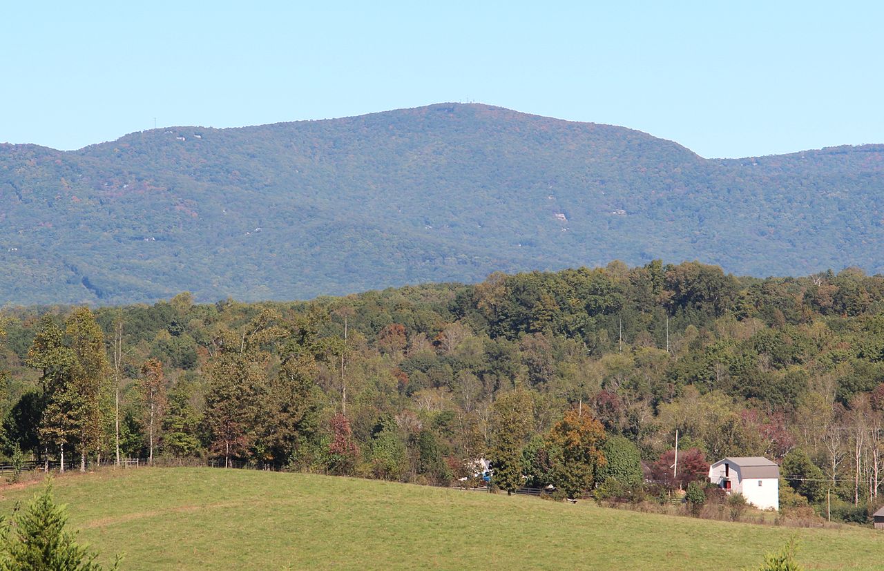 Mount Oglethorpe3,282 ft · Georgia3 routes12 mi awayPhoto: Thomson200, CC0 (via Wikimedia Commons)
- Gregory Knob3,380 ft · Georgia1 route13 mi away
 Appalachian TrailHikingPhoto: Thomson20192, Public Domain Dedication (CC0) (via Flickr)1.1 mi
- Bull MountainHiking1.3 mi
- Ball Mountain TrailHiking2.1 mi
- Cochran FallsRock climbing3.5 mi
- Frank GrossCamping5.8 mi
- Tickanetley CreekCanoeing5.8 mi
 Etowah RiverCanoeingPhoto: Thomson200, CC0 (via Wikimedia Commons)7.9 mi
- Deep Hole Rec. AreaCamping8.3 mi
Source: Roamze catalog (indexable pages within 10 miles, PostGIS distance)
- Mount OglethorpeSummit · ~21 min drivePhoto: Thomson200, CC0 (via Wikimedia Commons)
 Sharptop MountainSummit · ~23 min drivePhoto: Thomson M, CC BY 3.0 (via Wikimedia Commons)
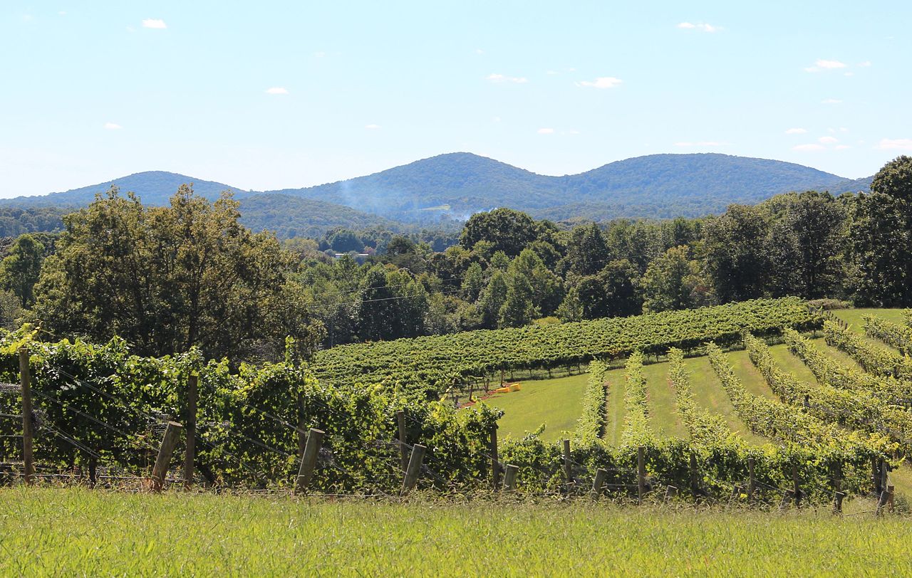 Three Sisters MountainSummit · ~25 min drivePhoto: Thomson200, CC0 (via Wikimedia Commons)
 Blood MountainSummit · ~28 min drivePhoto: Thomson200, CC0 (via Wikimedia Commons)
 Talona MountainSummit · ~29 min drivePhoto: Thomson20192, CC0 (via Wikimedia Commons)
 Levelland MountainSummit · ~31 min drivePhoto: Thomson200, CC0 (via Wikimedia Commons)
 Wildcat MountainSummit · ~36 min drivePhoto: Thomson200, CC0 (via Wikimedia Commons)
 Sharp MountainSummit · ~38 min drivePhoto: Thomson200, CC0 (via Wikimedia Commons)
 Yonah MountainSummit · ~47 min drivePhoto: Tclo8899, CC BY-SA 3.0 (via Wikimedia Commons)
 Brasstown BaldSummit · ~47 min drivePhoto: Public domain (via Wikimedia Commons)
Also worth it near here
- Appalachian TrailHiking · ~2 min drivePhoto: Thomson20192, Public Domain Dedication (CC0) (via Flickr)
- Bare Hare TrailMountain biking · ~5 min drive
 Amicalola MountainCamping · ~5 min drivePhoto: Scott Long, CC BY 3.0 (via Wikimedia Commons)
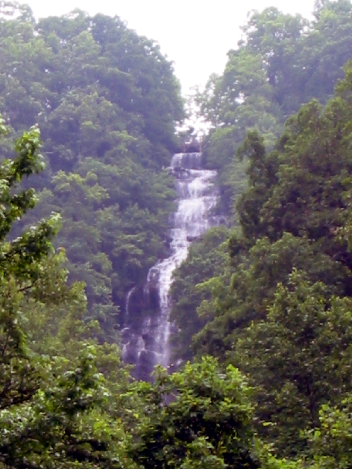 Amicalola FallsWaterfall · ~9 min drivePhoto: Jsfouche, CC BY-SA 3.0 (via Wikimedia Commons)
