Bearpen Hill
- 2,646 ft
- summit
- 1
- way up
- Mar–May, Aug–Nov
- best months
Is Bearpen Hill open right now?
Closure in the area
There's a closure order in Cherokee National Forest. It doesn't name Bearpen Hill, so check the source for the area it covers (2 listed).
Ocoee River Flooding Damage - Nov 5
Agency closure covering Cherokee National Forest · USFS · Cherokee National Forest
Campsite limitations
Agency closure covering Cherokee National Forest · Order 08-04-00-22-180 · USFS · Cherokee National Forest
Emergency road closures due to storm damage
Agency alert covering Cherokee National Forest · USFS · Cherokee National Forest
As of · Source: USFS · Cherokee National Forest. Agencies don't list every closure — check before you go.
Bearpen Hill is a summit of 2,646 feet in the Ocoee Ranger District of Cherokee National Forest in Tennessee, about 9.5 miles from the town of Copperhill. It sits among a cluster of hiking routes, with Wolf Ridge just 0.2 miles away and Big Creek about 1.6 miles off. For comfortable weather, aim for late spring or early fall. Typical averages from a nearby weather station in Blairsville, Georgia, show May highs around 76°F and October highs near 70°F, with September the driest month at about nine wet days. That station sits roughly 700 feet lower than the summit, so temperatures on top run cooler. Camping is within a few miles at Cottonwood Patch Campground and Thunder Rock Campground. GoForth Creek Boulders offers climbing, and the Big Frog Area has river fishing.
Conditions and forecast
Daily highs and lows, wind and the chance of precipitation at the summit and route start for the next 7 days, from the Open-Meteo model.
- Summit elevation
- 2,646 ft
Elevation from USGS 3D Elevation Program terrain data (about 10 m resolution).
Map © Mapbox © OpenStreetMap contributors Questions about Bearpen Hill
How tall is Bearpen Hill?
2,646 ft (807 m).
How many routes go to the summit of Bearpen Hill?
One: Grassy Gap.
- Chestnut Mountain3,027 ft · Tennessee2 routes0.7 mi away
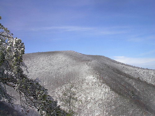 Big Frog Mountain4,219 ft · Tennessee1 route2.0 mi awayPhoto: Kevin Eldon, CC BY 2.0 (via Wikimedia Commons)
- Hemp Top3,576 ft · Georgia1 route3.9 mi away
 Bald Mountain4,004 ft · Georgia1 route11 mi awayPhoto: Thomson M, CC BY 3.0 (via Wikimedia Commons)
- Bean Mountain3,017 ft · Tennessee1 route12 mi away
 Grassy Mountain3,693 ft · Georgia1 route12 mi awayPhoto: Thomson200, CC0 (via Wikimedia Commons)
- Wolf RidgeHiking0.2 mi
- Big CreekHiking1.6 mi
- Hemp TopHiking2 mi
- Cottonwood Patch CampgroundCamping5.3 mi
- GoForth Creek BouldersRock climbing5.3 mi
- Big Frog AreaRiver fishing5.5 mi
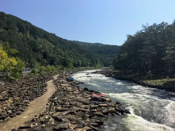 Thunder Rock CampgroundCampingPhoto: Recreation.gov (RIDB) / public domain5.7 mi
- Jacks RiverRiver fishing6 mi
Source: Roamze catalog (indexable pages within 10 miles, PostGIS distance)
- Big Frog MountainSummit · ~3 min drivePhoto: Kevin Eldon, CC BY 2.0 (via Wikimedia Commons)
- Bald MountainSummit · ~19 min drivePhoto: Thomson M, CC BY 3.0 (via Wikimedia Commons)
- Grassy MountainSummit · ~21 min drivePhoto: Thomson200, CC0 (via Wikimedia Commons)
 Talona MountainSummit · ~46 min drivePhoto: Thomson20192, CC0 (via Wikimedia Commons)
 Springer MountainSummit · ~58 min drivePhoto: Mark Larson, CC BY-SA 2.0 (via Wikimedia Commons)
 Sharptop MountainSummit · ~1h 3m drivePhoto: Thomson M, CC BY 3.0 (via Wikimedia Commons)
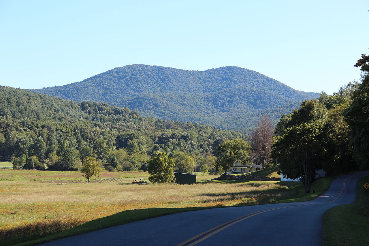 Big John Dick MountainSummit · ~51 min drivePhoto: Thomson200, CC0 (via Wikimedia Commons)
- Chestnut MountainSummit · ~1 min drive
- Hemp TopSummit · ~7 min drive
- Buckeye MountainSummit · ~11 min drive
Best time to visit Bearpen Hill
Best months: March–May and August–November. Best months have typical highs of 55–85 °F, lows of 30 °F or warmer (32 °F where the station doesn't record snow), at most one snowy day and no more than 12 wet days.
Jan
49° / 25°
12 wet
Feb
53° / 28°
12 wet
Mar
60° / 34°
12 wet
Apr
69° / 41°
11 wet
May
76° / 50°
12 wet
Jun
82° / 58°
13 wet
Jul
85° / 62°
13 wet
Aug
84° / 61°
12 wet
Sep
80° / 55°
9 wet
Oct
70° / 43°
10 wet
Nov
61° / 33°
10 wet
Dec
52° / 29°
12 wet
Typical high / low (°F) and days with rain or snow, 1991–2020. Measured at Blairsville Exp Stn, GA, 36.6 mi away at 1,949 ft. The station sits about 700 ft lower than this place, so expect it a little cooler here. This station doesn't record snowfall. Source: NOAA NCEI U.S. Climate Normals 1991–2020.

