Wolf Creek
Campground
Campground · 4.2 mi from the trail
Closure in the area
There's a closure order in Humboldt-Toiyabe National Forest. It doesn't name Bull Canyon, so check the source for the area it covers.
Elephant Fire Closure
Agency closure covering Humboldt-Toiyabe National Forest · Order 04-17-26-01-04 · USFS · Humboldt-Toiyabe National Forest
Floriston Fire Closure
Agency alert covering Carson Ranger District · Order 17-26-24 · USFS · Carson Ranger District
Power line construction along SR 88, Alpine County, California (Carson Ranger District)
Agency alert covering Carson Ranger District · USFS · Carson Ranger District
Over-Snow Vehicle Closure (Carson Ranger District)
Agency alert covering Carson Ranger District · Order 04-17-25-12 · USFS · Carson Ranger District
Area, Road, and Trail Closures (Spring Mountains National Recreation Area)
Agency alert covering Humboldt-Toiyabe National Forest · Order 04-17-25-04 · USFS · Humboldt-Toiyabe National Forest
As of · Source: USFS · Humboldt-Toiyabe National Forest. Agencies don't list every closure — check before you go.
Bull Canyon is a hard hike in the Carson-Iceberg Wilderness, part of the Carson Ranger District of the Humboldt-Toiyabe National Forest in California. The route is an out-and-back that climbs from a low point of about 7,333 feet to a high of about 9,456 feet, with a total elevation gain of about 2,092 feet over roughly 6.5 miles. The Forest Service manages the land, and the trail is natural-surfaced and open to horses. The trail is open from about June 1 to October 15. Bikes are not allowed. Wolf Creek and Asa Lake are both about 1.3 miles away. Highland Lakes campground is about 4.9 miles off, and the East Fork Carson River offers canoeing about 3.2 miles away.
Wolf Creek
Campground
Alpine County Museum
Museum
Places © OpenStreetMap contributors, Places © Overture Maps Foundation
More in Bear Valley East Fork Carson RiverCanoeingPhoto: Matkatamiba, CC BY-SA 4.0 (via Wikimedia Commons)3.2 mi
Source: Roamze catalog (indexable pages within 10 miles, PostGIS distance)
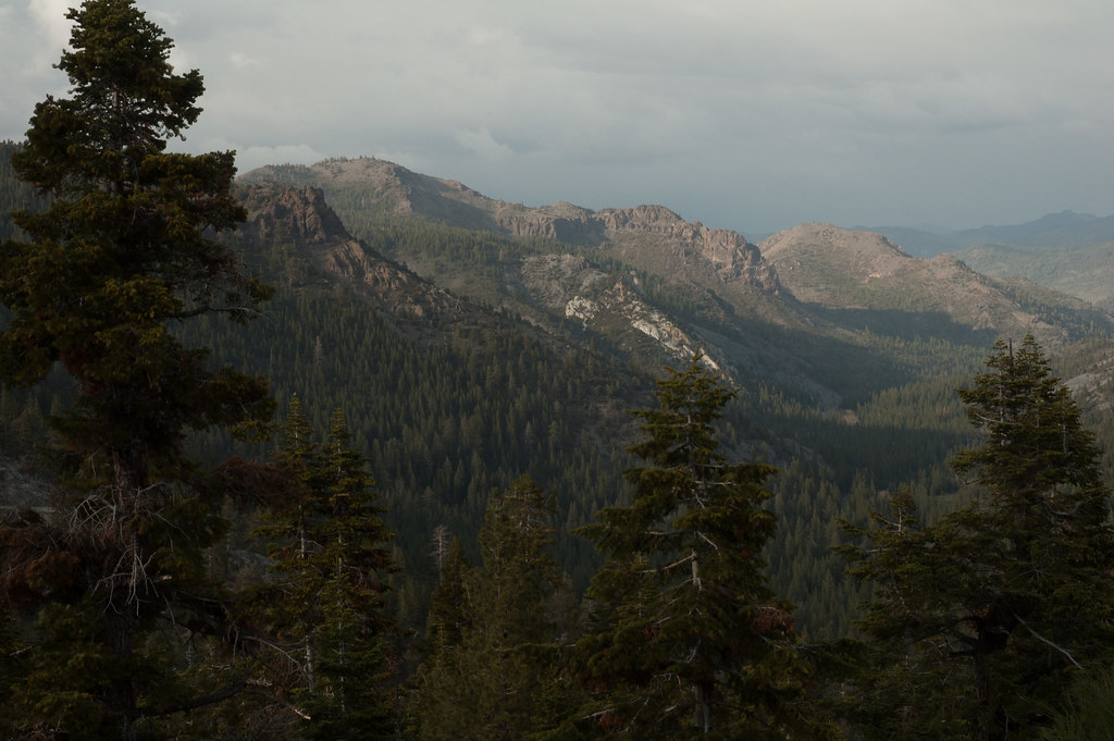 Noble CanyonHiking · ~9 min drivePhoto: Chris Mayer, CC BY 2.0 (via Flickr)
 Corral ValleyHiking · ~12 min drivePhoto: jfdervin, CC BY-SA 2.0 (via Flickr)
 Deer CreekHiking · ~16 min drivePhoto: GSEC, CC BY 2.0 (via Flickr)
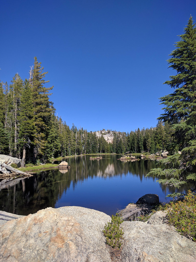 Pacific CreekHiking · ~16 min drivePhoto: npdoty, CC BY 2.0 (via Flickr)
 DrivewayHiking · ~15 min drivePhoto: jfdervin, CC BY-SA 2.0 (via Flickr)
 Raymond LakeHiking · ~15 min drivePhoto: Tim Berger, CC BY 2.0 (via Wikimedia Commons)Milk Ranch Mdw.Hiking · ~16 min drivePhoto: npdoty, CC BY 2.0 (via Flickr)Willow MdwHiking · ~16 min drivePhoto: GSEC, CC BY 2.0 (via Flickr)
