Silver Creek
Campground
Campground · 3.1 mi from the trail
 Photo: Tim Berger, CC BY 2.0 (via Wikimedia Commons)
Caution today
Agency alerts are in effect for this area; weather is good · USFS, OpenWeather · checked 6 h ago
Closure in the area
There's a closure order in Humboldt-Toiyabe National Forest. It doesn't name Raymond Lake, so check the source for the area it covers.
Elephant Fire Closure
Agency closure covering Humboldt-Toiyabe National Forest · Order 04-17-26-01-04 · USFS · Humboldt-Toiyabe National Forest
Floriston Fire Closure
Agency alert covering Carson Ranger District · Order 17-26-24 · USFS · Carson Ranger District
Power line construction along SR 88, Alpine County, California (Carson Ranger District)
Agency alert covering Carson Ranger District · USFS · Carson Ranger District
Over-Snow Vehicle Closure (Carson Ranger District)
Agency alert covering Carson Ranger District · Order 04-17-25-12 · USFS · Carson Ranger District
Area, Road, and Trail Closures (Spring Mountains National Recreation Area)
Agency alert covering Humboldt-Toiyabe National Forest · Order 04-17-25-04 · USFS · Humboldt-Toiyabe National Forest
As of · Source: USFS · Humboldt-Toiyabe National Forest. Agencies don't list every closure — check before you go.
Raymond Lake is an easy, out-and-back hike of about 1.4 miles in the Mokelumne Wilderness, part of the Carson Ranger District of the Humboldt-Toiyabe National Forest in California. The trail rises from a low point of about 8,620 feet to a high of about 9,010 feet, a climb of roughly 380 feet, and it is open from June 1 to October 15. The route is on natural surface, and horses are allowed. Bikes are not. The Forest Service manages the land. Silver Creek campground sits about 3 miles away, and the Noble Canyon and Thornburg Canyon hikes are both within about 4 miles. Paddlers can reach Deer Creek, about 5 miles off.
Silver Creek
Campground
Alpine County Museum
Museum
Places © OpenStreetMap contributors
More in Bear ValleyNot on Roamze yet. Their page has how to reach them.
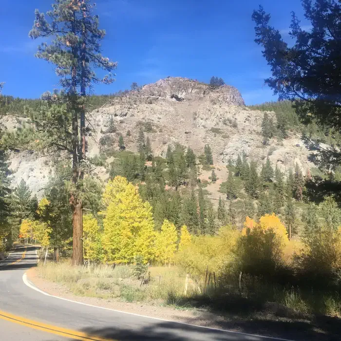 Silver CreekCampingPhoto: Recreation.gov (RIDB) / public domain3.1 mi
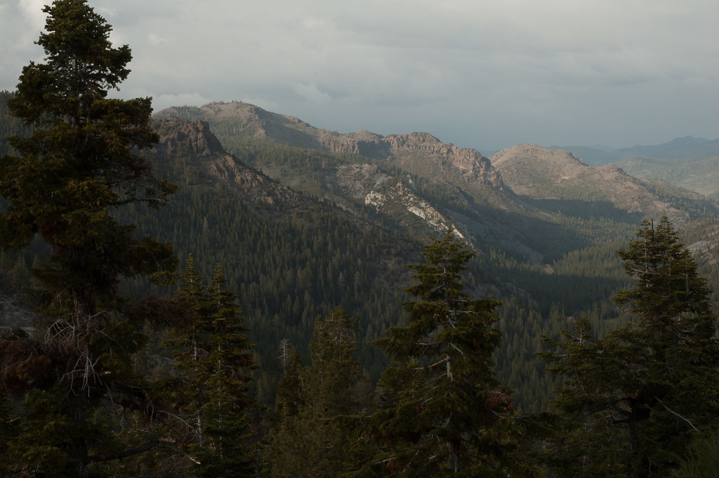 Noble CanyonHikingPhoto: Chris Mayer, CC BY 2.0 (via Flickr)3.3 mi
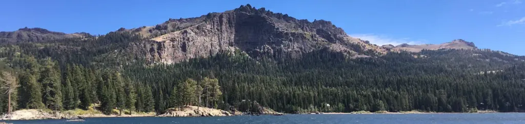 Silver Lake East- EldoradoCampingPhoto: Recreation.gov (RIDB) / public domain5 mi
Source: Roamze catalog (indexable pages within 10 miles, PostGIS distance)
Noble CanyonHiking · ~6 min drivePhoto: Chris Mayer, CC BY 2.0 (via Flickr) Hot Springs TrailHiking · ~9 min drivePhoto: Ken Lund, CC BY-SA 2.0 (via Flickr)
 Sawmill Creek TrailHiking · ~9 min drivePhoto: Ken Lund, CC BY-SA 2.0 (via Flickr)
 Deer Valley 4Wd TrailHiking · ~9 min drivePhoto: jturning, CC BY-SA 3.0 (via Wikimedia Commons)Hot Springs Cutoff TrailHiking · ~9 min drivePhoto: Ken Lund, CC BY-SA 2.0 (via Flickr)
 Grouse LakeHiking · ~13 min drivePhoto: Kurt Minard, CC BY-SA 3.0 (via Wikimedia Commons)
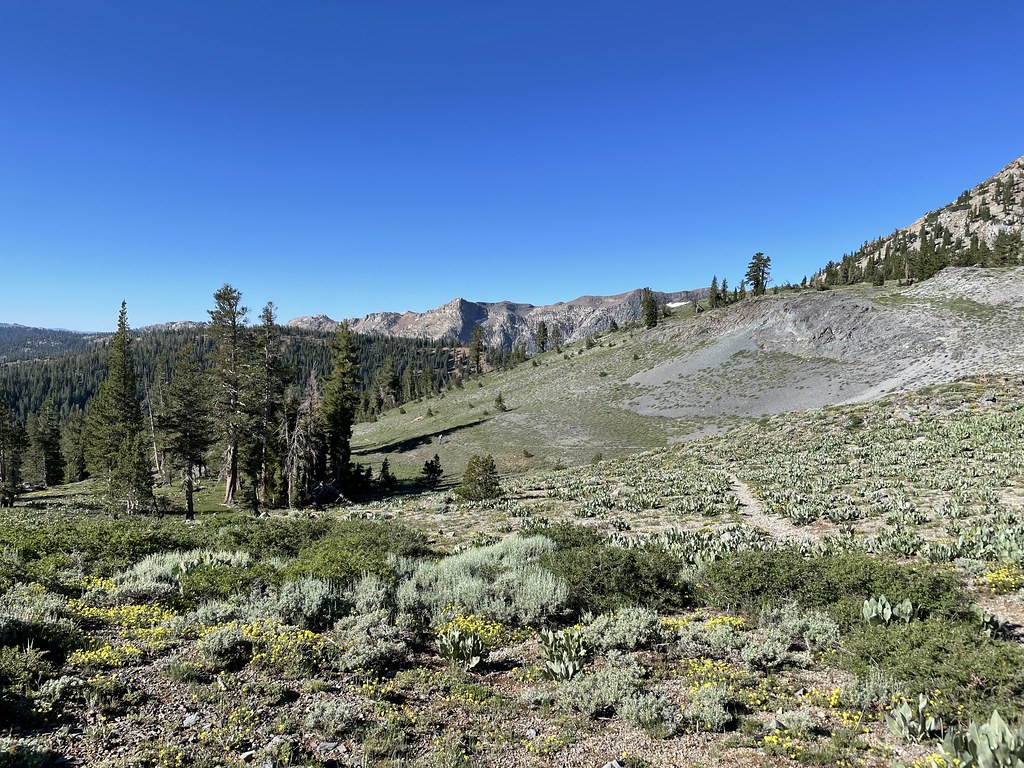 Summit CityHiking · ~14 min drivePhoto: jfdervin, CC BY-SA 2.0 (via Flickr)
 Waterfall TrailHiking · ~10 min drivePhoto: Ken Lund, CC BY-SA 2.0 (via Flickr)
 Summit Lake TrailHiking · ~14 min drivePhoto: Sank63, CC BY 2.0 (via Flickr)
