Chipmunk Flat Campground
Campground
Campground · 6.1 mi from the trail
Closure in the area
There's a closure order in Humboldt-Toiyabe National Forest. It doesn't name Pacific Crest National Scenic Trail #2000, so check the source for the area it covers.
Elephant Fire Closure
Agency closure covering Humboldt-Toiyabe National Forest · Order 04-17-26-01-04 · USFS · Humboldt-Toiyabe National Forest
Floriston Fire Closure
Agency alert covering Carson Ranger District · Order 17-26-24 · USFS · Carson Ranger District
Power line construction along SR 88, Alpine County, California (Carson Ranger District)
Agency alert covering Carson Ranger District · USFS · Carson Ranger District
Over-Snow Vehicle Closure (Carson Ranger District)
Agency alert covering Carson Ranger District · Order 04-17-25-12 · USFS · Carson Ranger District
Area, Road, and Trail Closures (Spring Mountains National Recreation Area)
Agency alert covering Humboldt-Toiyabe National Forest · Order 04-17-25-04 · USFS · Humboldt-Toiyabe National Forest
As of · Source: USFS · Humboldt-Toiyabe National Forest. Agencies don't list every closure — check before you go.
The Pacific Crest National Scenic Trail #2000 is a 46.8-mile out-and-back route in California's Carson-Iceberg Wilderness, within the Carson Ranger District of the Humboldt-Toiyabe National Forest. The Forest Service manages the land, and the trail crosses wilderness boundaries, so plan for a full day or more on foot. The route starts at about 9,637 feet and climbs steadily to a high point of 10,516 feet, with a total gain of 8,414 feet over the full trip. The steepest stretch comes at about 8.1 miles in, where the grade reaches 32 percent. That makes this a long, steep, expert-level hike, and the round trip adds up to roughly 20 hours. Boulder Lake lies about 2.5 miles away, and Whitecliff Lake is about 4.6 miles off. For an overnight base, Sand Flat campground is about 6.7 miles away, and Clark Fork Campground is about 7.4 miles away.
Chipmunk Flat Campground
Campground
Alpine County Museum
Museum
Places © OpenStreetMap contributors, Places © Overture Maps Foundation
More in Bear Valley Chipmunk FlatRock climbingPhoto: RuggyBearLA, CC BY 2.0 (via Flickr)6.1 mi
 East Fork Carson RiverCanoeingPhoto: Matkatamiba, CC BY-SA 4.0 (via Wikimedia Commons)7.2 mi
Source: Roamze catalog (indexable pages within 10 miles, PostGIS distance)
 Clark ForkHiking · ~8 min drivePhoto: GSEC, CC BY 2.0 (via Flickr)
 Corral ValleyHiking · ~10 min drivePhoto: jfdervin, CC BY-SA 2.0 (via Flickr)
 Relief Reservoir TrailHiking · ~15 min drivePhoto: farktronix, CC BY 2.0 (via Flickr)
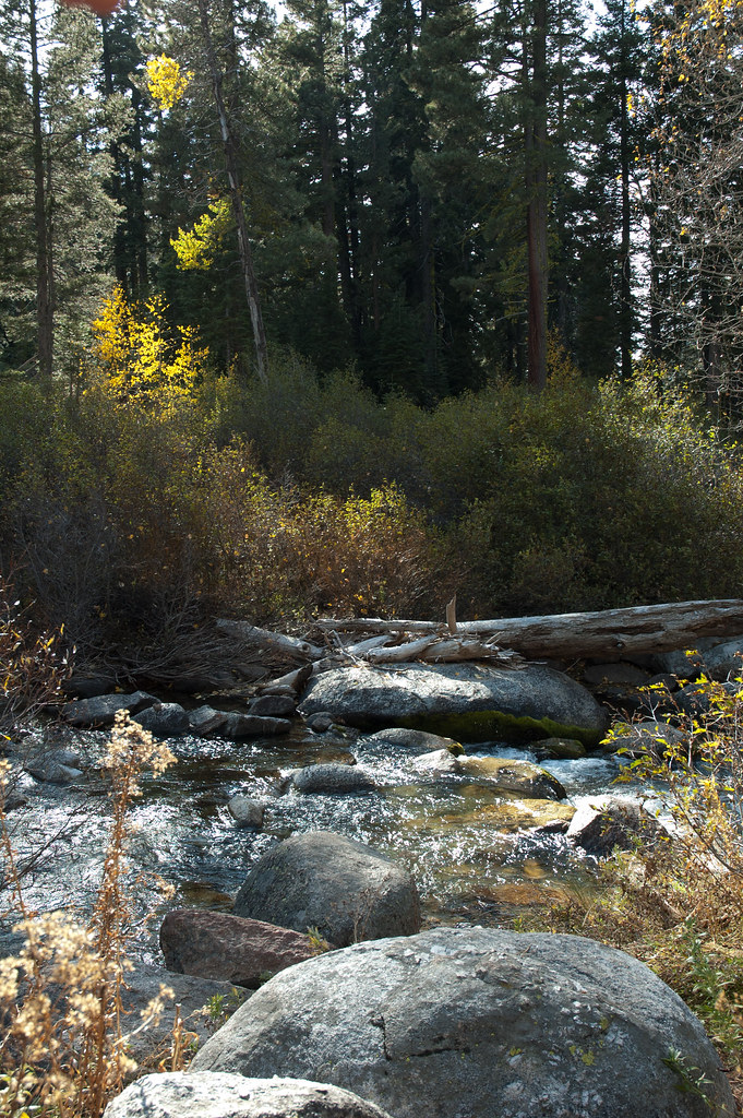 Disaster CreekHiking · ~8 min drivePhoto: Chris Mayer, CC BY 2.0 (via Flickr)
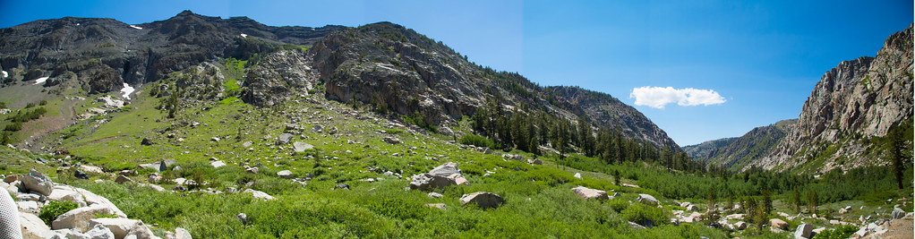 Blue CanyonHiking · ~11 min drivePhoto: zoxcleb, CC BY-SA 2.0 (via Flickr)
 Columns of the Giants TrailHiking · ~16 min drivePhoto: GSEC, CC BY 2.0 (via Flickr)
 Stanislaus PeakHiking · ~9 min drivePhoto: Moo.The.Cow, CC BY 2.0 (via Flickr)
 Little Wolf TrailHiking · ~14 min drivePhoto: Capt' Gorgeous, CC BY 2.0 (via Flickr)
 Leavitt TrailHiking · ~14 min drivePhoto: RuggyBearLA, CC BY 2.0 (via Flickr)
Also worth it near here
Chipmunk FlatRock climbing · ~10 min drivePhoto: RuggyBearLA, CC BY 2.0 (via Flickr) Night Cap PeakSummit · ~12 min drivePhoto: Tom Hilton, CC BY 2.0 (via Wikimedia Commons)East Fork Carson RiverCanoeing · ~12 min drivePhoto: Matkatamiba, CC BY-SA 4.0 (via Wikimedia Commons)
Map and trail data © OpenStreetMap contributors
