Hermit Valley
Campground
Campground · 0.3 mi from the trail
 Photo: GSEC, CC BY 2.0 (via Flickr)
Closure in the area
There's a closure order in Stanislaus National Forest. It doesn't name Willow Mdw, so check the source for the area it covers (2 listed).
Stanislaus National Forest extends seasonal MVUM closure for two high elevation roads
Agency closure covering Stanislaus National Forest · USFS · Stanislaus National Forest
Extension of Seasonal Road Closures
Agency closure covering Stanislaus National Forest · USFS · Stanislaus National Forest
As of · Source: USFS · Stanislaus National Forest. Agencies don't list every closure — check before you go.
Willow Mdw is a moderate out-and-back hike of about 5 miles in California's Stanislaus National Forest, within the Calaveras Ranger District. The trail gains about 880 feet, from a low of 7,080 feet to a high of 7,919 feet. Summer and early fall are the most comfortable times to go. Typical averages from a nearby weather station at Dagget Pass, Nevada, show July and August highs around 74 to 75°F with only one or two wet days a month. Winter brings highs in the mid-30s and lows near 23°F. The trail is a natural-surface route that allows both horses and bikes. It is open year-round, and the Forest Service manages the surrounding land. Hermit Valley campground and the Deer Creek hike are both about 0.3 miles away. Pacific Valley and Mosquito Lakes campgrounds are within about 2 miles.
Hermit Valley
Campground
Lake Alpine Resort
Restaurant
Alpine County Museum
Museum
Places © OpenStreetMap contributors
More in Bear ValleyNot on Roamze yet. Their page has how to reach them.
Best months: May–October. Best months have typical highs of 55–85 °F, lows of 30 °F or warmer (32 °F where the station doesn't record snow), at most one snowy day and no more than 12 wet days.
Jan
36° / 23°
9 wet
Feb
37° / 23°
8 wet
Mar
42° / 26°
7 wet
Apr
48° / 29°
5 wet
May
56° / 35°
4 wet
Jun
66° / 42°
2 wet
Jul
75° / 49°
2 wet
Aug
74° / 49°
1 wet
Sep
67° / 44°
2 wet
Oct
55° / 36°
3 wet
Nov
43° / 28°
5 wet
Dec
35° / 23°
7 wet
Typical high / low (°F) and days with rain or snow, 1991–2020. Measured at Dagget Pass, NV, 30.4 mi away at 7,334 ft. The station sits about 600 ft lower than this place, so expect it a little cooler here. This station doesn't record snowfall. Source: NOAA NCEI U.S. Climate Normals 1991–2020.
Photo: GSEC, CC BY 2.0 (via Flickr)Deer Creek
Next door
1.61-mile out-and-back trail in California with 263 ft gain.
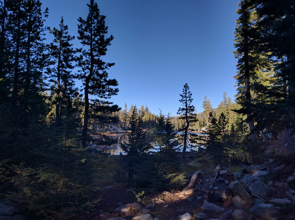 Photo: npdoty, CC BY 2.0 (via Flickr)
MCCT Mosquito Lakes to Pacific Valley
~3 min drive
2.48-mile out-and-back trail in California with 1,046 ft gain/loss
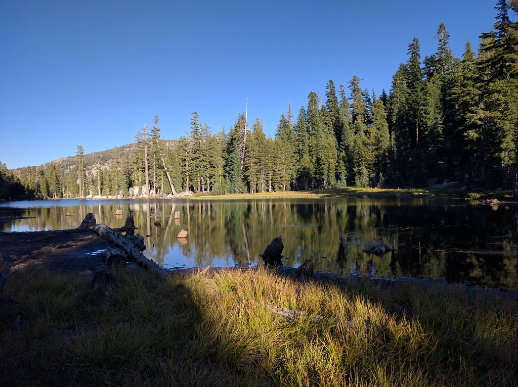 Photo: npdoty, CC BY 2.0 (via Flickr)
Sandy Mdw.
~4 min drive
7.19-mile out-and-back trail in California with 1,000 ft gain.
Photo: GSEC, CC BY 2.0 (via Flickr)Deer Creek
~2 min drive
3.96-mile out-and-back trail in California with 435 ft of elevation gain.
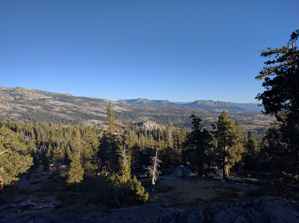 Photo: npdoty, CC BY 2.0 (via Flickr)
Emigrant Trail
~8 min drive
A 3.20-mile out-and-back trail in California connected to the Mormon Carson Emigrant Trail system.
 Photo: Chris Dolanc (talk · contribs), Public domain (via Wikimedia Commons)
8N01 SNOW TRAIL
~6 min drive
10.2-mile out-and-back snow trail in California with 2,419 ft elevation gain and loss.
Photo: npdoty, CC BY 2.0 (via Flickr)Mosquito Lakes to Stanislaus Meadow
~3 min drive
3.08-mile out-and-back trail from Mosquito Lakes to Stanislaus Meadow in California
 Photo: ilya_ktsn, CC BY 2.0 (via Flickr)
Pack Trail
~10 min drive
Pack Trail is a 1.82-mile out-and-back hike in California with 771 ft of elevation gain.
 Photo: jturning, CC BY-SA 3.0 (via Wikimedia Commons)
Deer Valley 4Wd Trail
~7 min drive
6.36-mile out-and-back trail in California with 479 ft elevation gain.
 Photo: npdoty, CC BY 2.0 (via Flickr)
Heiser Lake Ext.
~5 min drive
0.91-mile out-and-back trail to Heiser Lake in California.
