Pacific Valley
Campground
Campground · 1.3 mi from the trail
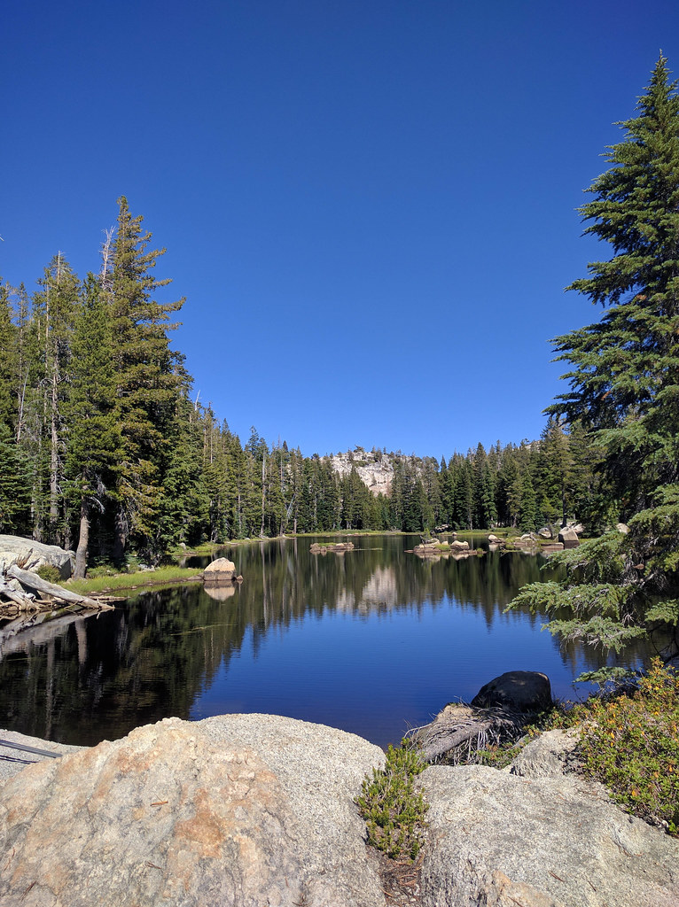 Photo: npdoty, CC BY 2.0 (via Flickr)
Closure in the area
There's a closure order in Stanislaus National Forest. It doesn't name Milk Ranch Mdw., so check the source for the area it covers (2 listed).
Stanislaus National Forest extends seasonal MVUM closure for two high elevation roads
Agency closure covering Stanislaus National Forest · USFS · Stanislaus National Forest
Extension of Seasonal Road Closures
Agency closure covering Stanislaus National Forest · USFS · Stanislaus National Forest
As of · Source: USFS · Stanislaus National Forest. Agencies don't list every closure — check before you go.
Milk Ranch Mdw. is a hard hike of about 14 miles on the Calaveras Ranger District of Stanislaus National Forest in California, managed by the Forest Service. It is an out-and-back route that gains about 1,700 feet, with the low point at 7,751 feet and the high at 9,021 feet. Horses are allowed on the trail, but bikes are not. The surface is natural, so plan for an unpaved route. Pacific Creek lies just 0.1 mile away, and the Heiser Lake Ext. mountain biking trail is about half a mile off. For an overnight stay, Pacific Valley campground is about 1.3 miles away and Mosquito Lakes campground about 1.7 miles.
Pacific Valley
Campground
Lake Alpine Resort
Restaurant
Alpine County Museum
Museum
Places © OpenStreetMap contributors
More in Bear ValleyPacific CreekHikingPhoto: npdoty, CC BY 2.0 (via Flickr)0.1 miSource: Roamze catalog (indexable pages within 10 miles, PostGIS distance)
 Heiser Lake Ext.Hiking · ~1 min drivePhoto: npdoty, CC BY 2.0 (via Flickr)
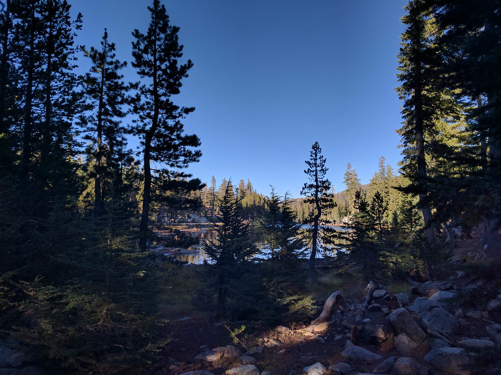 MCCT Mosquito Lakes to Pacific ValleyHiking · ~3 min drivePhoto: npdoty, CC BY 2.0 (via Flickr)
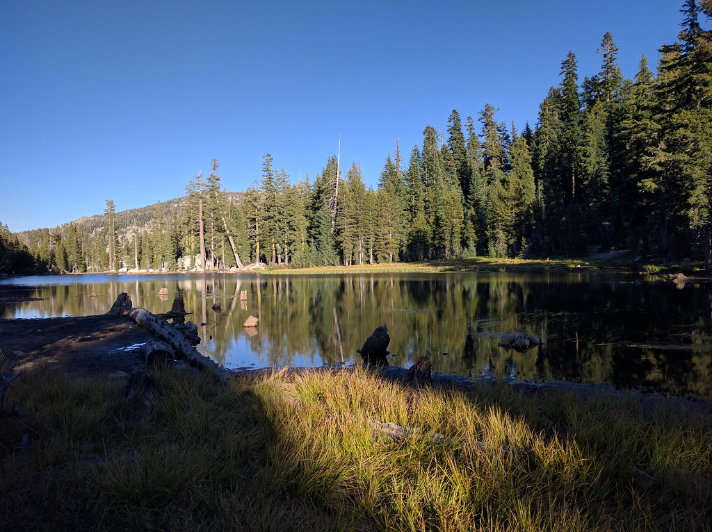 Sandy Mdw.Hiking · ~5 min drivePhoto: npdoty, CC BY 2.0 (via Flickr)
 Deer CreekHiking · ~5 min drivePhoto: GSEC, CC BY 2.0 (via Flickr)Willow MdwHiking · ~5 min drivePhoto: GSEC, CC BY 2.0 (via Flickr)
 8N01 SNOW TRAILHiking · ~8 min drivePhoto: Chris Dolanc (talk · contribs), Public domain (via Wikimedia Commons)Deer CreekHiking · ~5 min drivePhoto: GSEC, CC BY 2.0 (via Flickr)
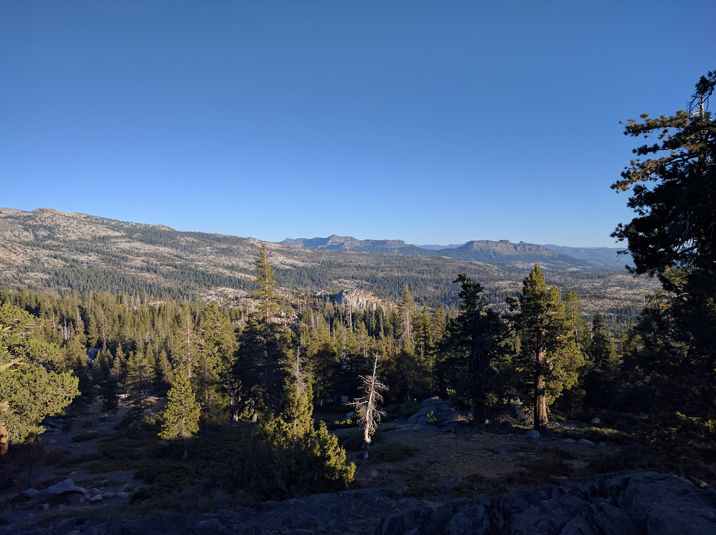 Emigrant TrailHiking · ~6 min drivePhoto: npdoty, CC BY 2.0 (via Flickr)
 Underwood ValleyHiking · ~11 min drivePhoto: ilya_ktsn, CC BY 2.0 (via Flickr)
 Lower Woodchuck TrailHiking · ~8 min drivePhoto: lamblukas, CC BY 2.0 (via Flickr)

