Driveway
 Photo: jfdervin, CC BY-SA 2.0 (via Flickr)
- 4.3 mi
- round trip
- 1,077 ft
- climb
- 8,758 ft
- high point
- Out and back
- route
- Jun–Aug
- best months
Is Driveway open right now?
Closure in the area
There's a closure order in Carson Ranger District. It doesn't name Driveway, so check the source for the area it covers (2 listed).
Hawk Fire Closure (Carson Ranger District)
Agency closure covering Carson Ranger District · Order 04-17-26-01-08 · USFS · Carson Ranger District
Elephant Fire Closure
Agency closure covering Humboldt-Toiyabe National Forest · Order 04-17-26-01-04 · USFS · Humboldt-Toiyabe National Forest
Floriston Fire Closure
Agency alert covering Carson Ranger District · Order 17-26-24 · USFS · Carson Ranger District
Power line construction along SR 88, Alpine County, California (Carson Ranger District)
Agency alert covering Carson Ranger District · USFS · Carson Ranger District
Over-Snow Vehicle Closure (Carson Ranger District)
Agency alert covering Carson Ranger District · Order 04-17-25-12 · USFS · Carson Ranger District
As of · Source: USFS · Carson Ranger District. Agencies don't list every closure — check before you go.
Driveway is a moderate hike of about 4.3 miles in the Carson-Iceberg Wilderness, part of the Carson Ranger District of Humboldt-Toiyabe National Forest in California. The trail is an out-and-back with an elevation gain of about 1,077 feet, taking hikers from roughly 7,670 feet to about 8,758 feet. The route is on natural surface and is open to horses, which makes it a practical choice for riders. Bikes are not allowed. Summer and early fall are the most comfortable times to go. Typical averages from a nearby weather station show July and August highs around 78°F, while winter highs sit near 41°F. The station sits about 388 feet lower than the trail's high point, so temperatures up top run cooler. The trail is open from June 1 to October 15. Corral Valley is about 0.6 miles away, and Snodgrass is about a mile off. Poison Lake and the East Fork Carson River are both within about 5 miles.
Best time to go · Jun–Aug
Best time to visit Driveway
Best months: June–August. Best months have typical highs of 55–85 °F, lows of 30 °F or warmer (32 °F where the station doesn't record snow), at most one snowy day and no more than 12 wet days.
Jan
41° / 8°
7 wet
Feb
41° / 9°
7 wet
Mar
45° / 13°
6 wet
Apr
51° / 19°
5 wet
May
61° / 25°
5 wet
Jun
71° / 32°
4 wet
Jul
78° / 36°
4 wet
Aug
78° / 34°
3 wet
Sep
71° / 28°
2 wet
Oct
61° / 20°
3 wet
Nov
49° / 12°
5 wet
Dec
41° / 8°
7 wet
Typical high / low (°F) and days with rain or snow, 1991–2020. Measured at Bodie California St Historic P, CA, 36.4 mi away at 8,370 ft. This station doesn't record snowfall. Source: NOAA NCEI U.S. Climate Normals 1991–2020.
Keep exploring — more trails worth the drive
Photo: jfdervin, CC BY-SA 2.0 (via Flickr)Corral Valley
~1 min drive
11.72-mile out-and-back trail in California with 1,428 ft elevation gain.
 Photo: jfdervin, CC BY-SA 2.0 (via Flickr)
Corral Valley
~5 min drive
Scenic 4-mile valley loop with steady climbing through grassland and oak woodland.
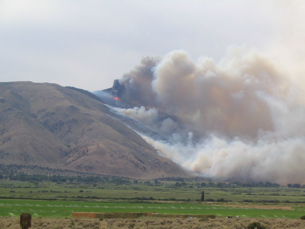 Photo: Ken Lund, CC BY-SA 2.0 (via Flickr)
Lost Cannon Trail
~7 min drive
17.34-mile out-and-back trail in California with 4,042 ft elevation gain and loss.
HIKE
East Carson River Trail
~9 min drive
0.6-mile out-and-back hike along East Carson River in California.
 Photo: GSEC, CC BY 2.0 (via Flickr)
Clark Fork
~20 min drive
14.11-mile out-and-back trail in California with 3,089 ft elevation gain.
HIKE
Snodgrass
~2 min drive
5.61-mile out-and-back trail in California with 95 ft of elevation gain.
HIKE
Pacific Crest National Scenic Trail #2000
~14 min drive
46.78-mile out-and-back on the Pacific Crest Trail in California with 8,414 ft gain/loss
HIKE
East Carson River Trail
~11 min drive
2.02-mile out-and-back hike on East Carson River Trail in California
 Photo: A Silly Person from Sonora, CA, United States, CC BY-SA 2.0 (via Wikimedia Commons)
Poore Lake
~19 min drive
Poore Lake is a 9.28-mile out-and-back trail in California with 1,001 ft of elevation gain.
HIKE
Tamarack Lake
~6 min drive
2.60-mile out-and-back trail in California with 1,338 ft gain
Also worth it near here


