Happy Jack Lodge & RV
Campground
Campground · 4.5 mi from the trail
Alert in the area
The Forest Service lists an alert for Coconino National Forest.
West Fork Temporary Area Closure - Extension to 2/27/27
Agency alert covering Coconino National Forest · Order 03-04-00-26-09 · USFS · Coconino National Forest
As of · Source: USFS · Coconino National Forest. Agencies don't list every closure — check before you go.
Willow Crossing is a moderate out-and-back hike of about 4.3 miles on the Mogollon Rim Ranger District of Coconino National Forest in Arizona, managed by the Forest Service. The trail rises about 265 feet from a low point of 6,477 feet to a high of 6,795 feet, and its natural surface makes it a straightforward outing for a day on the forest's higher ground. Spring and fall bring the most comfortable conditions. Typical averages from a nearby weather station show May highs around 70°F and October highs around 67°F, while July peaks near 83°F and January highs sit at about 45°F. Nearby options include Coyote Trail and Maxwell, both about 3 miles away, and the John Doe Wall climbing area at roughly 3.3 miles. Long Valley campground is about 6.7 miles away.
Happy Jack Lodge & RV
Campground
The Wellhouse
Restaurant
Places © OpenStreetMap contributors
More in Blue RidgeNot on Roamze yet. Their page has how to reach them.
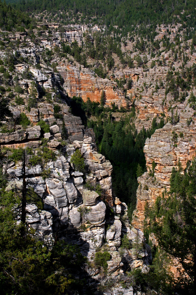 MaxwellHikingPhoto: Coconino NF Photography, CC BY-SA 2.0 (via Flickr)2.9 mi
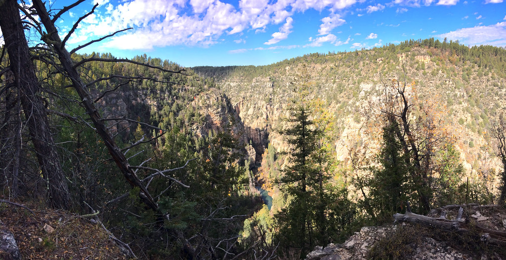 TramwayHikingPhoto: Coconino NF Photography, CC BY-SA 2.0 (via Flickr)3 mi
 Middle SectionRock climbingPhoto: Coconino National Forest, CC BY-SA 2.0 (via Wikimedia Commons)3.3 mi
 John Doe WallRock climbingPhoto: Coconino National Forest, CC BY-SA 2.0 (via Wikimedia Commons)3.3 miLog Jam areaRock climbingPhoto: Coconino National Forest, CC BY-SA 2.0 (via Wikimedia Commons)3.3 mi
Source: Roamze catalog (indexable pages within 10 miles, PostGIS distance)
MaxwellHiking · ~5 min drivePhoto: Coconino NF Photography, CC BY-SA 2.0 (via Flickr)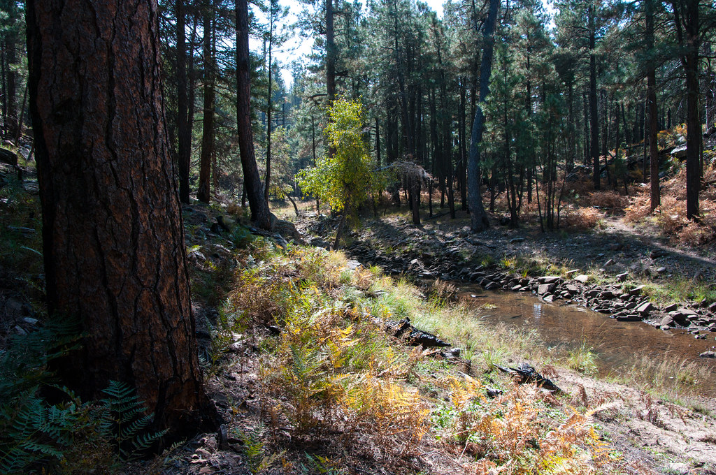 Fred HaughtHiking · ~21 min drivePhoto: Coconino NF Photography, Public Domain Dedication (CC0) (via Flickr)
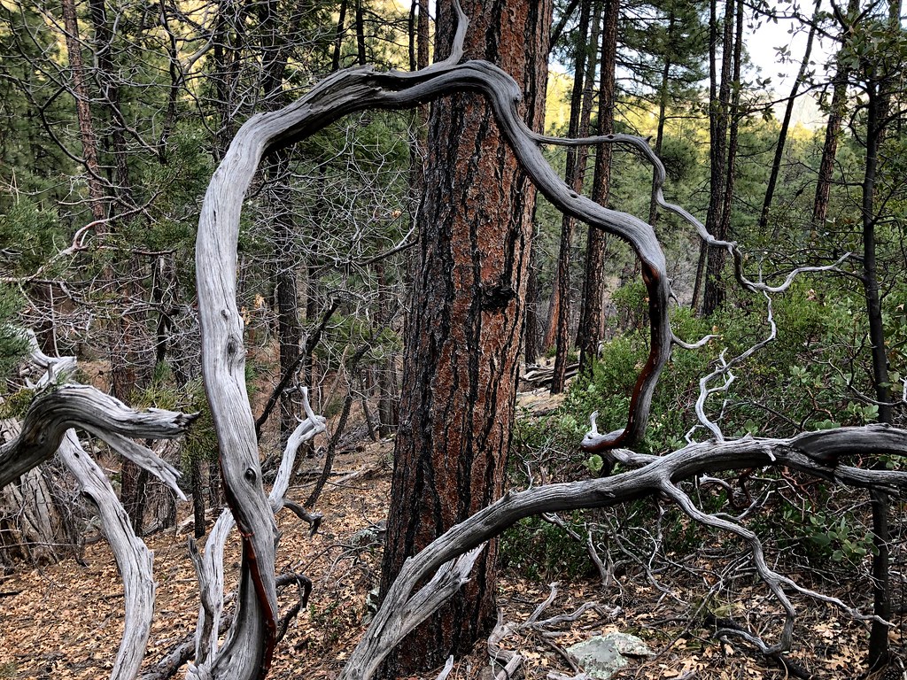 MohawkHiking · ~26 min drivePhoto: cogdogblog, Public Domain Dedication (CC0) (via Flickr)TramwayHiking · ~5 min drivePhoto: Coconino NF Photography, CC BY-SA 2.0 (via Flickr)
 Turkey SpringsHiking · ~23 min drivePhoto: Coconino National Forest, CC BY-SA 2.0 (via Wikimedia Commons)
 FlumeHiking · ~26 min drivePhoto: Coconino NF Photography, Public Domain Dedication (CC0) (via Flickr)
 Rock CrossingHiking · ~20 min drivePhoto: Coconino NF Photography, Public Domain Mark (via Flickr)
 Bob BearHiking · ~27 min drivePhoto: USDAgov, Public Domain Mark (via Flickr)
 Pine ViewHiking · ~26 min drivePhoto: cogdogblog, Public Domain Dedication (CC0) (via Flickr)
Best months: May–October. Best months have typical highs of 55–85 °F, lows of 30 °F or warmer (32 °F where the station doesn't record snow), at most one snowy day and no more than 12 wet days.
Jan
45° / 17°
Feb
49° / 20°
Mar
55° / 25°
Apr
61° / 30°
May
70° / 38°
Jun
80° / 47°
Jul
83° / 55°
Aug
81° / 53°
Sep
76° / 46°
Oct
67° / 34°
Nov
55° / 24°
Dec
45° / 17°
Typical high / low (°F) and days with rain or snow, 1991–2020. Measured at Blue Ridge Rs, AZ, 12 mi away at 6,880 ft. This station doesn't record snowfall. Source: NOAA NCEI U.S. Climate Normals 1991–2020.
