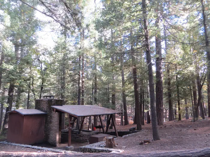
Clints Well
Campground
Campground · 0.3 mi from the trail
Alert in the area
The Forest Service lists an alert for Coconino National Forest.
West Fork Temporary Area Closure - Extension to 2/27/27
Agency alert covering Coconino National Forest · Order 03-04-00-26-09 · USFS · Coconino National Forest
As of · Source: USFS · Coconino National Forest. Agencies don't list every closure — check before you go.
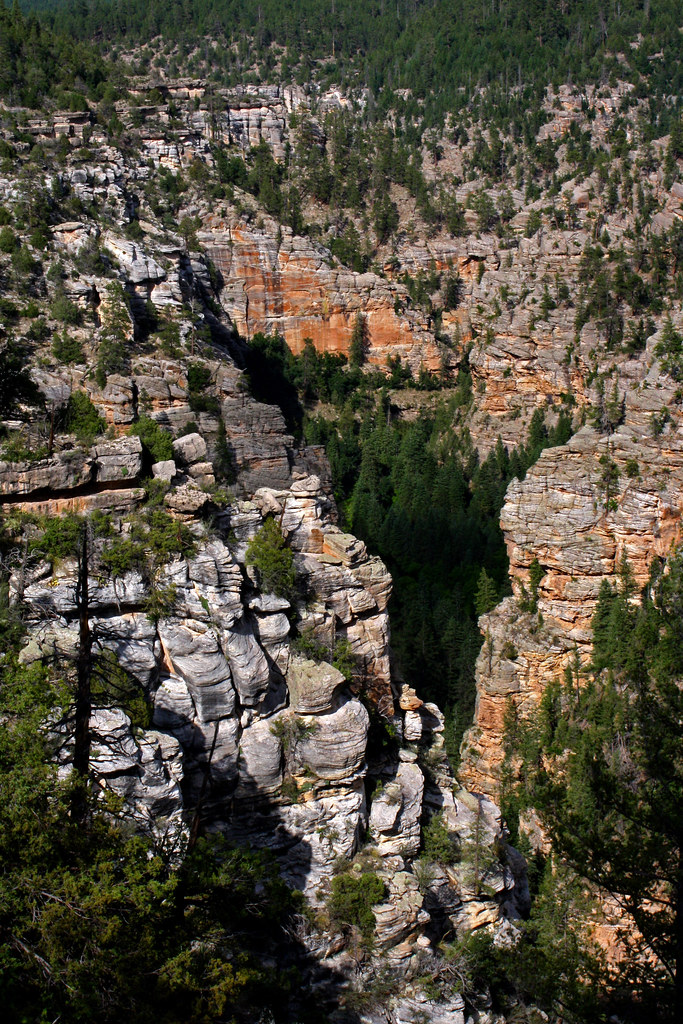
The Mogollon Rim is a rugged escarpment that forms the southern limit of the Colorado Plateau. It extends across the entire forest and provides excellent views within Plateau Country and Desert Canyon Country as well. Dropping as much as 2,000 feet in some areas, the Rim provides some of the most far-reaching scenery in Arizona. Views stretch from its rocky precipice to Four Peaks of the Mazatzals northeast of Phoenix.Needless to say, sightseeing is a favorite activity along the Rim, but this forest area also boasts a historic system of hiking and horseback trails, a couple of picturesque lakes for boating and fishing, and backcountry skiing for wilderness adventurers. The Mogollon Rim is home to Camp Colley, an outdoor adventure camp at Little Moqui, run by the City of Phoenix, Parks and Recreation.The photo above (see larger view) was taken by Mark Hickcox, Civil Engineer Tech on the Mogollon Rim District, from the Hutch Mountain Lookout Tower in the summer of 2011. It is looking south-east toward Long Lake. Recreation activities for the Mogollon Rim District:CampgroundsTrailsWilderness Areas, Boating/Fishing Sites, Scenic DrivesMore informationRoad StatusForest Orders
Clints Well
Campground
The Wellhouse
Restaurant
Places © OpenStreetMap contributors
More in Blue RidgeNot on Roamze yet. Their page has how to reach them.
Best months: May–October. Best months have typical highs of 55–85 °F, lows of 30 °F or warmer (32 °F where the station doesn't record snow), at most one snowy day and no more than 12 wet days.
Jan
45° / 17°
Feb
49° / 20°
Mar
55° / 25°
Apr
61° / 30°
May
70° / 38°
Jun
80° / 47°
Jul
83° / 55°
Aug
81° / 53°
Sep
76° / 46°
Oct
67° / 34°
Nov
55° / 24°
Dec
45° / 17°
Typical high / low (°F) and days with rain or snow, 1991–2020. Measured at Blue Ridge Rs, AZ, 8.2 mi away at 6,880 ft. This station doesn't record snowfall. Source: NOAA NCEI U.S. Climate Normals 1991–2020.
SEE
C.C. Cragin (Blue Ridge) Reservoir
~12 min drive
SEE
Verde Ranger District
~52 min drive
SEE
Bawcom Tank
~21 min drive
Bawcom Tank is a 10-acre lake near Happy Jack, Arizona, at about 6,718 feet. It is managed by the U.S. Forest Service.
SEE
New Tank
~23 min drive
New Tank is an 8-acre lake near Happy Jack, Arizona, at about 6,161 feet. It is managed by the U.S. Forest Service.
SEE
Hay Lake
~25 min drive
Hay Lake is a 458-acre lake near Happy Jack, Arizona, at about 6,693 feet. It is managed by the U.S. Forest Service.
SEE
Judy Tank
~26 min drive
Judy Tank is a 14-acre lake near Happy Jack, Arizona, at about 6,745 feet. It is managed by the U.S. Forest Service.
SEE
Knoll Lake
~26 min drive
SEE
Tremaine Lake
~27 min drive
Tremaine Lake is a 666-acre lake near Happy Jack, Arizona, at about 6,725 feet. It is managed by the U.S. Forest Service.
SEE
Melatone Tank
~29 min drive
Melatone Tank is a 6-acre lake near Happy Jack, Arizona, at about 6,613 feet. It is managed by the U.S. Forest Service.
SEE
Soldier Annex Lake
~29 min drive
Soldier Annex Lake is a 95-acre lake near Happy Jack, Arizona, at about 6,777 feet. It is managed by the U.S. Forest Service.