

Canyon Outfitters Sedona
Hiking business nearby (~4 mi away) — hasn't claimed their Roamze page yet
Free — you'll pick up right here.
Watch this trail
Sign up to watch it — saving subscribes you to gate, closure and report changes.
Arizona
2.6 mi
Distance
272 ft
Gain
59 min
Time
We won't guess. Here is exactly what we do and don't know.
What we do know
Inside Coconino National Forest
2 managing-area boundaries mapped — agency alerts for them feed this page automatically.
Boundary data
What's missing
No access route mapped
We don't yet know which road reaches this trailhead, so we can't tell you if it's gated.
Nobody's filed a report here yet — be the first.
Why you'll love it
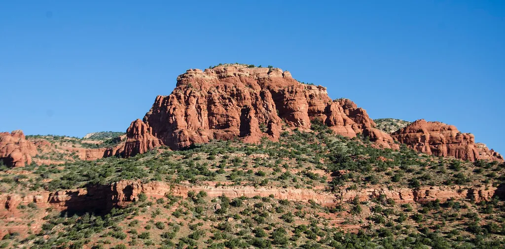
Fay Canyon #53
AI-suggested draft · review before you go
Fay Canyon Trail #53 is a 2.6-mile out-and-back route located in Arizona and managed by the U.S. Forest Service. The trail features 272 feet of elevation gain, making it an accessible option for hikers of varying skill levels. The out-and-back format allows you to turn around at any point, giving you flexibility in how much distance you cover on the day. This Forest Service-maintained trail offers a straightforward hiking experience without excessive technical difficulty. The modest elevation gain is distributed throughout the route, providing a gentle to moderate workout depending on your pace and fitness level. The trail's relatively short total distance makes it suitable for a quick outing or as part of a broader exploration of the Arizona hiking network. Being managed by the U.S. Forest Service ensures the trail receives regular maintenance and is officially recognized within the public lands system. Check current conditions with the managing agency before your visit, as trail status can change seasonally or due to maintenance needs.
Bear Mountain #54
~1 min drive
4.6 mi · Easy
Boynton Canyon #47
~1 min drive
6.1 mi · Moderate
Doe Mountain
~1 min drive
1.5 mi · Easy
Cockscomb #167
~2 min drive
7.0 mi · Moderate
Boynton Vista
~1 min drive
0.4 mi · Easy
Axis
~3 min drive
6.5 mi · Moderate
Deadman's Pass
~1 min drive
2.4 mi · Easy
Girdner #162
~3 min drive
10 mi · Moderate
Mescal #174C
~2 min drive
5.0 mi · Easy
Long Canyon #122
~3 min drive
7.2 mi · Moderate
Local operatorsoffering guided trips. You book directly with them — Roamze doesn’t take a cut.
Canyon Outfitters Sedona
Hiking business nearby (~4 mi away) — hasn't claimed their Roamze page yet
Camp Avalon Spiritual Nature Retreat
Hiking business nearby (~6 mi away) — hasn't claimed their Roamze page yet
Rancho Sedona RV Park
Hiking business nearby (~6 mi away) — hasn't claimed their Roamze page yet