Main San Juan
At a glance
Main San Juan is a 5-mile out-and-back hike in the Austin-Tonopah Ranger District of Nevada's Humboldt-Toiyabe National Forest, managed by the Forest Service. The trail is straightforward, taking hikers away from the trailhead and back again, and it works well for a day of exploring the Nevada landscape at your own pace. The route rises from about 7,375 feet to about 8,659 feet, with a total elevation gain of 1,260 feet. The trail is natural-surfaced and allows both horses and bikes, so it suits a range of visitors. North San Juan lies just 0.1 mile away, and San Juan Cua campground is about 0.2 mile off. South San Juan Creek and Cottonwood Creek 1 are within about 2 miles, giving hikers more options for extending a trip.
- round trip
- 5.0 mi
- climb
- 1,260 ft
- high point
- 8,659 ft
- route
- Out and back
Where it is: Austin-Tonopah Ranger District · Humboldt-Toiyabe National Forest
Near: Austin
Been here? Tell people how it was.
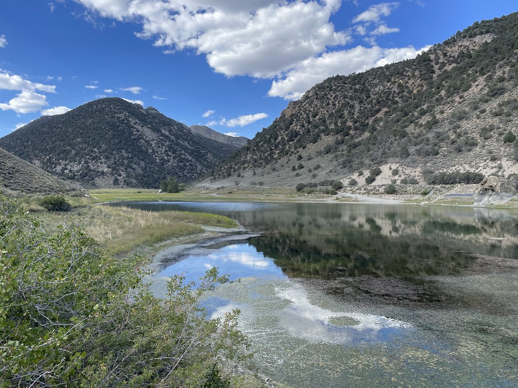
 Toiyabe Crest TrailHikingPhoto: Seth Tisue, CC BY-SA 2.0 (via Flickr)~10 min drive
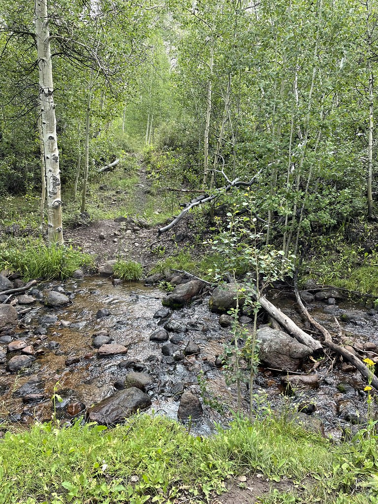
 Camp Creek National Recreation - CaliforniaHikingPhoto: Seth Tisue, CC BY-SA 2.0 (via Flickr)~18 min drive
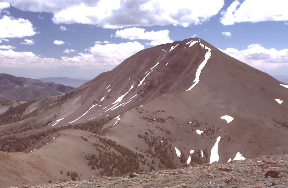
 Stewart CreekHikingPhoto: Seth Tisue, CC BY-SA 2.0 (via Flickr)~28 min drive
- TOIYABE CREST NATL REC TRAILHiking~21 min drive
- DECKER CREEKHiking~11 min drive
 North Twin River CutoffHikingPhoto: Seth Tisue, CC BY-SA 2.0 (via Flickr)~29 min drive
 ColumbineHikingPhoto: Seth Tisue, CC BY-SA 2.0 (via Flickr)~28 min drive
- Toiyabe Crest TrailHiking~27 min drive
- Park CanyonHiking~12 min drive
 Arc Dome TrailHikingPhoto: Seth Tisue, CC BY-SA 2.0 (via Flickr)~31 min drive
Conditions and forecast
Caution at last checkAgency alerts are in effect for this areaUSFS · checked 21 h agoDaily highs and lows, wind and the chance of precipitation at Start for the next 7 days, from the Open-Meteo model.
Ask about this place
Questions about Main San Juan: conditions, access, timing. Answers say when something isn't known.
