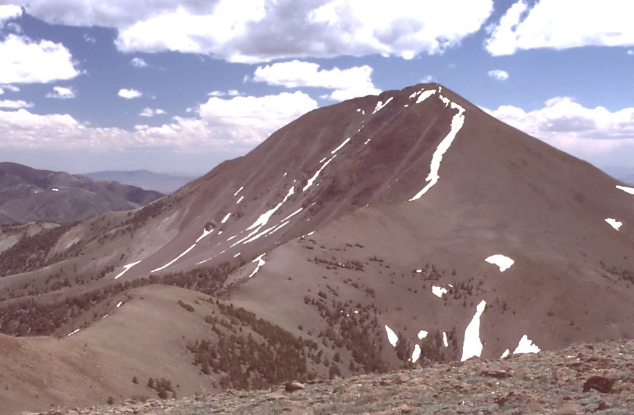
South San Juan Creek
- 5.8 mi
- round trip
- 1,173 ft
- climb
- 8,635 ft
- high point
- Out and back
- route
Is South San Juan Creek open right now?
Closure in the area
There's a closure order in Humboldt-Toiyabe National Forest. It doesn't name South San Juan Creek, so check the source for the area it covers.
Elephant Fire Closure
Agency closure covering Humboldt-Toiyabe National Forest · Order 04-17-26-01-04 · USFS · Humboldt-Toiyabe National Forest
Area, Road, and Trail Closures (Spring Mountains National Recreation Area)
Agency alert covering Humboldt-Toiyabe National Forest · Order 04-17-25-04 · USFS · Humboldt-Toiyabe National Forest
Year-Round Fire Restrictions (Spring Mountains National Recreation Area)
Agency alert covering Humboldt-Toiyabe National Forest · Order 04-17-24-01 · USFS · Humboldt-Toiyabe National Forest
Vehicle Snow Chain Requirements during Inclement Weather (Spring Mountains National Recreation Area)
Agency alert covering Humboldt-Toiyabe National Forest · Order 04-17-23-01 · USFS · Humboldt-Toiyabe National Forest
Rainbow Canyon Flood Diversion Structure Closure (Spring Mountains National Recreation Area)
Agency alert covering Humboldt-Toiyabe National Forest · Order 04-17-15-01 · USFS · Humboldt-Toiyabe National Forest
As of · Source: USFS · Humboldt-Toiyabe National Forest. Agencies don't list every closure — check before you go.
South San Juan Creek is a 5.8-mile out-and-back hike in the Austin-Tonopah Ranger District of Nevada's Humboldt-Toiyabe National Forest. The trail climbs from a low point of 7,462 feet to a high of 8,635 feet, a gain of about 1,173 feet, and is rated moderate. The Forest Service manages the land. The trail has a natural surface and is open year round. Bikes and horses are both allowed, so the route works for riders and pack animals. San Juan Cua campground and the North San Juan and Main San Juan hikes all sit about half a mile away, making it easy to pair this outing with an overnight stay or another day on the trail. Climbers will find Main Dome about 4.5 miles off.
- San Juan CuaCamping0.6 mi
- North San JuanHiking0.6 mi
- Main San JuanHiking0.6 mi
- Cottonwood Creek 1Hiking2.4 mi
- Tierney CreekHiking2.8 mi
- Washington CreekHiking3.7 mi
- Main DomeRock climbing4.5 mi
- The Wild GranitesRock climbing4.6 mi
Source: Roamze catalog (indexable pages within 10 miles, PostGIS distance)
 Toiyabe Crest TrailHiking · ~11 min drivePhoto: Seth Tisue, CC BY-SA 2.0 (via Flickr)
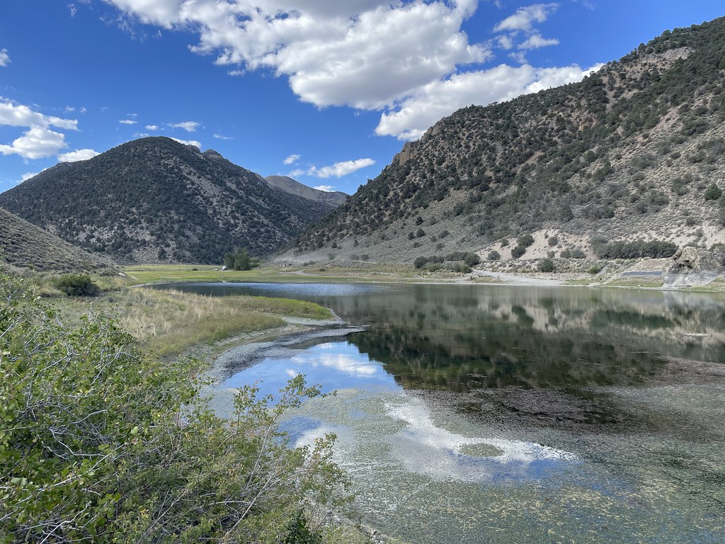 Camp Creek National Recreation - CaliforniaHiking · ~19 min drivePhoto: Seth Tisue, CC BY-SA 2.0 (via Flickr)
 ColumbineHiking · ~27 min drivePhoto: Seth Tisue, CC BY-SA 2.0 (via Flickr)
- TOIYABE CREST NATL REC TRAILHiking · ~21 min drive
- Park CanyonHiking · ~11 min drive
 North Twin River CutoffHiking · ~29 min drivePhoto: Seth Tisue, CC BY-SA 2.0 (via Flickr)
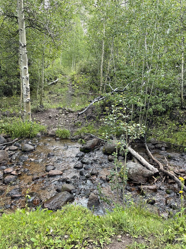 Stewart CreekHiking · ~27 min drivePhoto: Seth Tisue, CC BY-SA 2.0 (via Flickr)
- Toiyabe Crest TrailHiking · ~27 min drive
- DECKER CREEKHiking · ~12 min drive
 Arc Dome TrailHiking · ~30 min drivePhoto: Seth Tisue, CC BY-SA 2.0 (via Flickr)