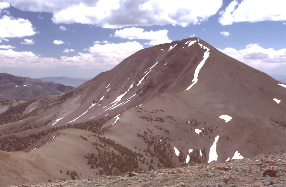
Stewart Creek
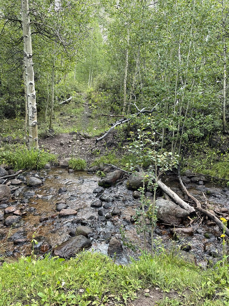 Photo: Seth Tisue, CC BY-SA 2.0 (via Flickr)
- 5.2 mi
- round trip
- 1,544 ft
- climb
- 10,287 ft
- high point
- Out and back
- route
Is Stewart Creek open right now?
Closure in the area
There's a closure order in Humboldt-Toiyabe National Forest. It doesn't name Stewart Creek, so check the source for the area it covers.
Elephant Fire Closure
Agency closure covering Humboldt-Toiyabe National Forest · Order 04-17-26-01-04 · USFS · Humboldt-Toiyabe National Forest
Area, Road, and Trail Closures (Spring Mountains National Recreation Area)
Agency alert covering Humboldt-Toiyabe National Forest · Order 04-17-25-04 · USFS · Humboldt-Toiyabe National Forest
Year-Round Fire Restrictions (Spring Mountains National Recreation Area)
Agency alert covering Humboldt-Toiyabe National Forest · Order 04-17-24-01 · USFS · Humboldt-Toiyabe National Forest
Vehicle Snow Chain Requirements during Inclement Weather (Spring Mountains National Recreation Area)
Agency alert covering Humboldt-Toiyabe National Forest · Order 04-17-23-01 · USFS · Humboldt-Toiyabe National Forest
Rainbow Canyon Flood Diversion Structure Closure (Spring Mountains National Recreation Area)
Agency alert covering Humboldt-Toiyabe National Forest · Order 04-17-15-01 · USFS · Humboldt-Toiyabe National Forest
As of · Source: USFS · Humboldt-Toiyabe National Forest. Agencies don't list every closure — check before you go.
Stewart Creek is a moderate out-and-back hike in Nevada's Humboldt-Toiyabe National Forest, within the Austin-Tonopah Ranger District. The route is 5.2 miles long, with a one-way elevation gain of 1,544 feet, taking you from a low point of 8,742 feet to a high point of 10,287 feet. The Forest Service manages the land. The trail is natural-surface and open year-round. Horses are allowed, but bikes are not. Columbine Campground sits just 0.2 miles away, and the Columbine hike is 0.4 miles off. The North Twin River Cutoff and Arc Dome Trail lie within about 2.4 miles, and Mahogany Mountain is roughly 2.8 miles away.
- Columbine CampgroundCamping0.2 mi
 ColumbineHikingPhoto: Seth Tisue, CC BY-SA 2.0 (via Flickr)0.4 mi
 North Twin River CutoffHikingPhoto: Seth Tisue, CC BY-SA 2.0 (via Flickr)1.8 mi
 Arc Dome TrailHikingPhoto: Seth Tisue, CC BY-SA 2.0 (via Flickr)2.4 mi
- Mahogany MountainHiking2.8 mi
- Arc Dome SummitHiking4 mi
- Twin Rivers Connector TrailHiking4.1 mi
- TOIYABE CREST NATL REC TRAILHiking4.3 mi
Source: Roamze catalog (indexable pages within 10 miles, PostGIS distance)
 Berlin-Ichthyosaur State Park RoadHiking · ~22 min drivePhoto: Seth Tisue, CC BY-SA 2.0 (via Flickr)
- ColumbineHiking · Next doorPhoto: Seth Tisue, CC BY-SA 2.0 (via Flickr)
- North Twin River CutoffHiking · ~3 min drivePhoto: Seth Tisue, CC BY-SA 2.0 (via Flickr)
- Toiyabe Crest TrailHiking · ~11 min drive
- Adt - Nevada - S - Seg 6Hiking · ~22 min drivePhoto: Seth Tisue, CC BY-SA 2.0 (via Flickr)
- Reese River TrailHiking · ~11 min drive
- Arc Dome TrailHiking · ~4 min drivePhoto: Seth Tisue, CC BY-SA 2.0 (via Flickr)
- Toiyabe Crest TrailHiking · ~12 min drive
- Cemetery TrailHiking · ~22 min drivePhoto: Seth Tisue, CC BY-SA 2.0 (via Flickr)
- Mohawk CanyonHiking · ~11 min drive