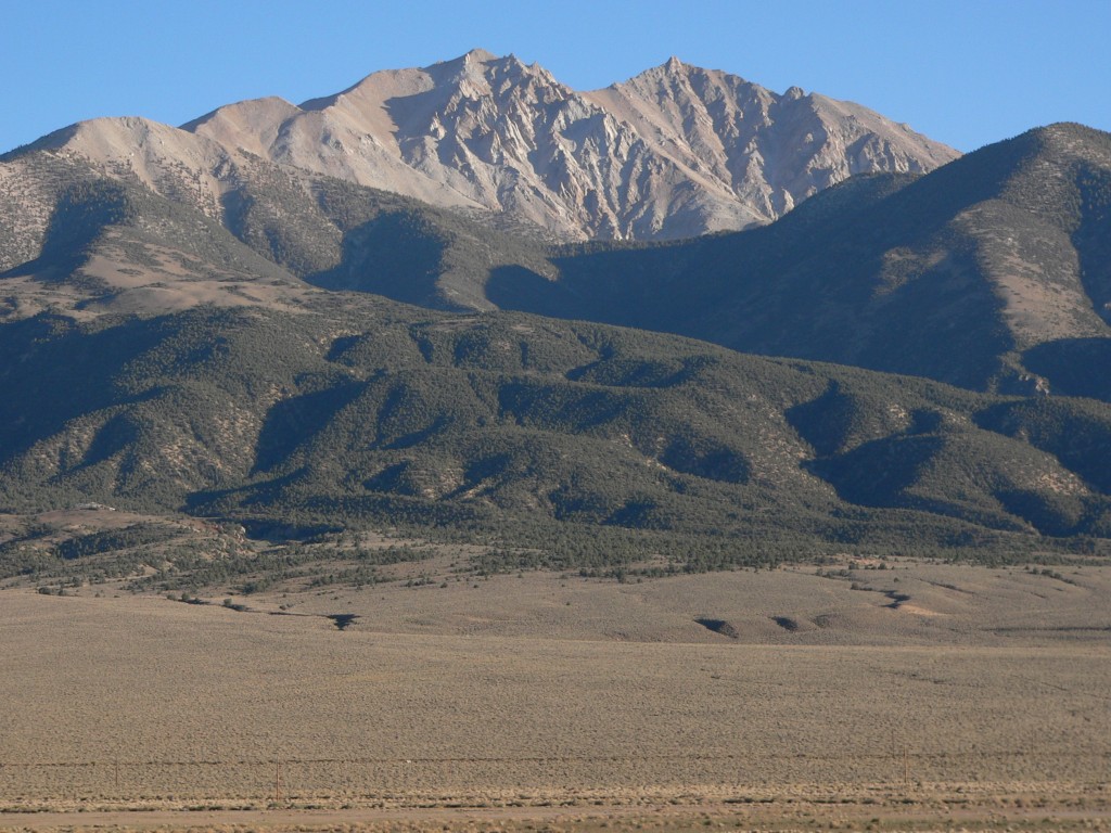
Arc Dome
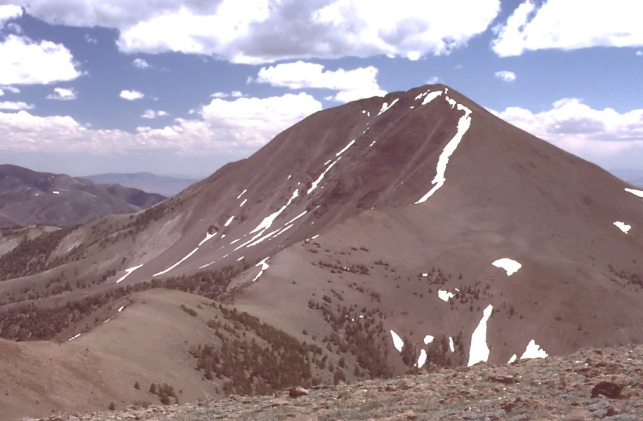 Photo: User:G. Thomas, Public domain (via Wikimedia Commons)
- 11,769 ft
- summit
- 1
- way up
- Forest Service
- managed by
Is Arc Dome open right now?
Closure in the area
There's a closure order in Humboldt-Toiyabe National Forest. It doesn't name Arc Dome, so check the source for the area it covers.
Elephant Fire Closure
Agency closure covering Humboldt-Toiyabe National Forest · Order 04-17-26-01-04 · USFS · Humboldt-Toiyabe National Forest
Area, Road, and Trail Closures (Spring Mountains National Recreation Area)
Agency alert covering Humboldt-Toiyabe National Forest · Order 04-17-25-04 · USFS · Humboldt-Toiyabe National Forest
Year-Round Fire Restrictions (Spring Mountains National Recreation Area)
Agency alert covering Humboldt-Toiyabe National Forest · Order 04-17-24-01 · USFS · Humboldt-Toiyabe National Forest
Vehicle Snow Chain Requirements during Inclement Weather (Spring Mountains National Recreation Area)
Agency alert covering Humboldt-Toiyabe National Forest · Order 04-17-23-01 · USFS · Humboldt-Toiyabe National Forest
Rainbow Canyon Flood Diversion Structure Closure (Spring Mountains National Recreation Area)
Agency alert covering Humboldt-Toiyabe National Forest · Order 04-17-15-01 · USFS · Humboldt-Toiyabe National Forest
As of · Source: USFS · Humboldt-Toiyabe National Forest. Agencies don't list every closure — check before you go.
Arc Dome is a summit in Nye County, Nevada, rising within the Arc Dome Wilderness on the Austin-Tonopah Ranger District of the Humboldt-Toiyabe National Forest. The Forest Service manages the land, and the nearest town is Darroughs Hot Springs, about 9 miles away. The peak sits inside designated wilderness, so plan for a trip into protected backcountry rather than a developed site. The approach is on foot, using the trails that reach the area around the summit. Arc Dome Summit, a hike less than a mile away, and Arc Dome Trail, about 2 miles off, are the closest routes. The Toiyabe Crest Trail runs within about 4 miles. Columbine Campground, roughly 5 miles away, is the nearest place to camp.
Conditions and forecast
Daily highs and lows, wind and the chance of precipitation at the summit and route start for the next 7 days, from the Open-Meteo model.
- Summit elevation
- 11,769 ft
- Land manager
- Forest Service
Elevation from USGS 3D Elevation Program terrain data (about 10 m resolution).
Map © Mapbox © OpenStreetMap contributors Questions about Arc Dome
How tall is Arc Dome?
11,769 ft (3,587 m).
How many routes go to the summit of Arc Dome?
One: Arc Dome Summit.
When is the best time to climb Arc Dome?
June 15 – October 30.
- Arc Dome SummitHiking0.7 mi
 Arc Dome TrailHikingPhoto: Seth Tisue, CC BY-SA 2.0 (via Flickr)2.3 mi
 North Twin River CutoffHikingPhoto: Seth Tisue, CC BY-SA 2.0 (via Flickr)3.2 mi
- Little Jett CreekHiking3.2 mi
- Toiyabe Crest TrailHiking3.6 mi
- Stone CabinHiking3.7 mi
- Reese River TrailHiking4.3 mi
- Columbine CampgroundCamping4.8 mi
Source: Roamze catalog (indexable pages within 10 miles, PostGIS distance)