Toiyabe Crest Trail
 Photo: Seth Tisue, CC BY-SA 2.0 (via Flickr)
- 0.3 mi
- round trip
- 184 ft
- climb
- 9,897 ft
- high point
- Out and back
- route
Is Toiyabe Crest Trail open right now?
Closure in the area
There's a closure order in Humboldt-Toiyabe National Forest. It doesn't name Toiyabe Crest Trail, so check the source for the area it covers.
Elephant Fire Closure
Agency closure covering Humboldt-Toiyabe National Forest · Order 04-17-26-01-04 · USFS · Humboldt-Toiyabe National Forest
Area, Road, and Trail Closures (Spring Mountains National Recreation Area)
Agency alert covering Humboldt-Toiyabe National Forest · Order 04-17-25-04 · USFS · Humboldt-Toiyabe National Forest
Year-Round Fire Restrictions (Spring Mountains National Recreation Area)
Agency alert covering Humboldt-Toiyabe National Forest · Order 04-17-24-01 · USFS · Humboldt-Toiyabe National Forest
Vehicle Snow Chain Requirements during Inclement Weather (Spring Mountains National Recreation Area)
Agency alert covering Humboldt-Toiyabe National Forest · Order 04-17-23-01 · USFS · Humboldt-Toiyabe National Forest
Rainbow Canyon Flood Diversion Structure Closure (Spring Mountains National Recreation Area)
Agency alert covering Humboldt-Toiyabe National Forest · Order 04-17-15-01 · USFS · Humboldt-Toiyabe National Forest
As of · Source: USFS · Humboldt-Toiyabe National Forest. Agencies don't list every closure — check before you go.
The Toiyabe Crest Trail is a short out-and-back hike in Nevada's Humboldt-Toiyabe National Forest, within the Austin-Tonopah Ranger District. The trail is managed by the Forest Service and sits at about 9,890 feet, with the high point rising to 9,897 feet and the low point at 9,880 feet. The climb is easy, with a total elevation gain of about 10 feet over a round trip of roughly 0.66 miles. The steepest part comes early, around 0.11 miles from the start, and the grade there is about 3%. The route is short enough to fit into a longer day on the Toiyabe Crest Trail corridor. Kingston Campground is about 4 miles away, and Washington Creek lies about 3 miles off. For a longer outing, Ruby Crest National Recreation - Nevada is about 5.5 miles away. Climbers will find Main Dome about 7 miles from the trail.
Keep exploring — more trails worth the drive
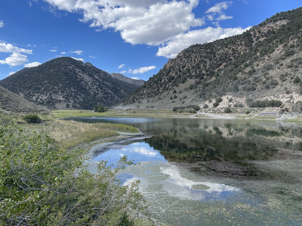 Photo: Seth Tisue, CC BY-SA 2.0 (via Flickr)
Camp Creek National Recreation - California
~9 min drive
222-mile point-to-point Nevada backcountry trek for experienced long-distance hikers.
 Photo: Seth Tisue, CC BY-SA 2.0 (via Flickr)
Columbine
~37 min drive
Columbine is a 4.58-mile out-and-back trail in Nevada with 1,759 feet of elevation gain.
HIKE
DECKER CREEK
~8 min drive
1.96-mile out-and-back trail in Nevada with 482 ft elevation gain
HIKE
TOIYABE CREST NATL REC TRAIL
~30 min drive
29.5-mile out-and-back trail in Nevada with 7,518 ft elevation gain
 Photo: Seth Tisue, CC BY-SA 2.0 (via Flickr)
Gold Venture Loop
~38 min drive
44.00-mile out-and-back trail in Nevada with 3,629 ft elevation gain.
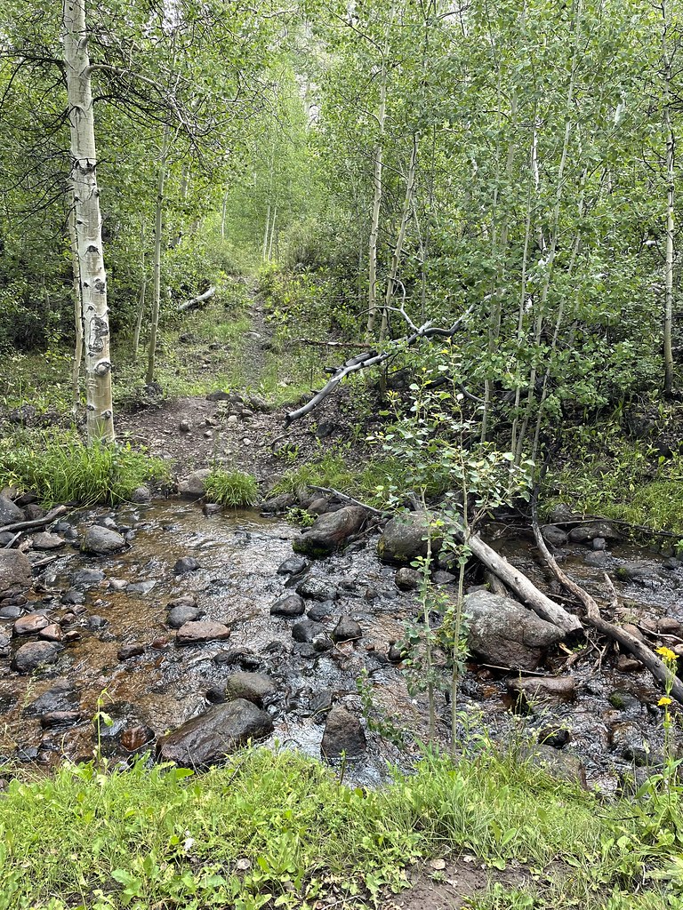 Photo: Seth Tisue, CC BY-SA 2.0 (via Flickr)
Stewart Creek
~37 min drive
5.20-mile out-and-back trail in Nevada with 1,544 ft elevation gain.
HIKE
Fremont Trail
~9 min drive
4.54-mile out-and-back hike in Nevada with 103 ft elevation gain/loss.
HIKE
Toiyabe Crest Trail
~34 min drive
16.23-mile out-and-back hike on Nevada's Toiyabe Crest Trail with 3,321 ft gain.
 Photo: Ken Lund, CC BY-SA 2.0 (via Flickr)
Bob Scott Slide
~38 min drive
10-mile out-and-back trail in Nevada with 1,305 ft gain.
 Photo: Ken Lund, CC BY-SA 2.0 (via Flickr)
Pony Canyon Downhill
~38 min drive
2.40-mile downhill trail in Nevada with 19 ft gain and 978 ft loss.
Map and trail data © OpenStreetMap contributors
