
Highland Lakes Upper Campground
Campground
4.0 mi from the trail
Wolf Creek is a hard out-and-back hike in the Carson-Iceberg Wilderness, part of the Carson Ranger District of the Humboldt-Toiyabe National Forest in California. The trail runs about 30.7 miles, with a one-way elevation gain of 2,184 feet, from a low point of 6,535 feet to a high of 9,106 feet. The Forest Service manages the land, and the trail is natural-surfaced and open to horses. The route is long and steep, and the climb is one way. Plan on a full day or more, and expect to carry supplies for the entire length of the trip. Asa Lake sits just 0.1 mile away, and Bull Canyon is about 1.3 miles off. For paddling, the East Fork Carson River is roughly 3.7 miles away, and Highland Lakes campground is about 4.1 miles away.
Where it is: Carson-Iceberg Wilderness · Carson Ranger District
Near: Kirkwood
Been here? Tell people how it was.
 Corral ValleyHikingPhoto: jfdervin, CC BY-SA 2.0 (via Flickr)~12 min drive
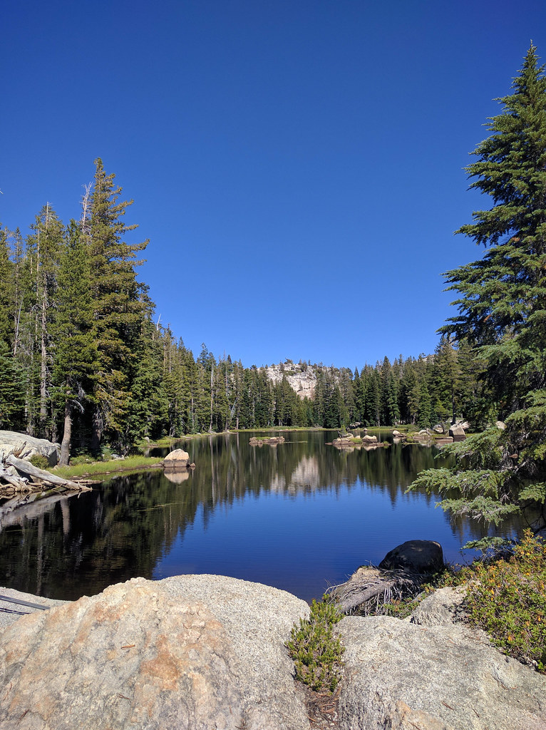 Pacific CreekHikingPhoto: npdoty, CC BY 2.0 (via Flickr)~15 min drive
 Deer CreekHikingPhoto: GSEC, CC BY 2.0 (via Flickr)~16 min driveWillow MdwHikingPhoto: GSEC, CC BY 2.0 (via Flickr)~15 min driveMilk Ranch Mdw.HikingPhoto: npdoty, CC BY 2.0 (via Flickr)~15 min drive
 DrivewayHikingPhoto: jfdervin, CC BY-SA 2.0 (via Flickr)~15 min drive
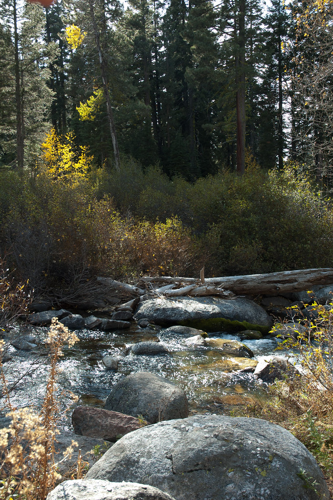 Disaster CreekHikingPhoto: Chris Mayer, CC BY 2.0 (via Flickr)~10 min drive
Daily highs and lows, wind and the chance of precipitation at Start for the next 7 days, from the Open-Meteo model.
Questions about Wolf Creek: conditions, access, timing. Answers say when something isn't known.
Highland Lakes Upper Campground
Campground
Alpine County Museum
Museum
Places © OpenStreetMap contributors, Places © Overture Maps Foundation
More in Bear Valley