Long Valley
Campground
6.2 mi from the trail
 Photo: Coconino National Forest, CC BY-SA 2.0 (via Wikimedia Commons)
Quickie Wall is a traditional climbing area in the West Clear Creek Wilderness, within the Mogollon Rim Ranger District of Coconino National Forest in Arizona. It sits among a cluster of climbing spots, with Anti-Crag just 0.2 miles away and West Clear Creek about 0.6 miles off. The Forest Service manages the surrounding land. The area's five routes run from about 5.9 to 5.11a on the YDS scale. All are trad, and several of them were first ascended by Scott Duemler with other climbers. Premature Ejection is the hardest at 5.11a, while Brown Box is the easiest at 5.9. For timing, the most comfortable months are late spring and early fall. Typical averages from a nearby weather station run from highs around 70°F with lows near 38°F in May to highs around 76°F with lows near 46°F in September. Winter is cold, with highs around 45°F and lows near 17°F. Nearby hikes include Tramway, about a mile away, and Coyote Trail, about 2 miles off. Long Valley campground lies roughly 6 miles from the wall.
5 routes · 5.9 – 5.11a · Trad
Where it is: West Clear Creek Wilderness · Mogollon Rim Ranger District
Near: Payson
Best months: May–October. Best months have typical highs of 55–85 °F, lows of 30 °F or warmer (32 °F where the station doesn't record snow), at most one snowy day and no more than 12 wet days.
Jan
45°
17°
Feb
49°
20°
Mar
55°
25°
Apr
61°
30°
May
70°
38°
Jun
80°
47°
Jul
83°
55°
Aug
81°
53°
Sep
76°
46°
Oct
67°
34°
Nov
55°
24°
Dec
45°
17°
Typical high / low (°F) and days with rain or snow, 1991–2020. Measured at Blue Ridge Rs, AZ, 14.4 mi away at 6,880 ft. The station sits about 1,000 ft higher than this place, so expect it a little warmer here. This station doesn't record snowfall. Source: NOAA NCEI U.S. Climate Normals 1991–2020.
Been here? Tell people how it was.
 Anti-CragRock climbingPhoto: Coconino National Forest, CC BY-SA 2.0 (via Wikimedia Commons)0.2 mi
 West Clear CreekRock climbingPhoto: Coconino National Forest, CC BY-SA 2.0 (via Wikimedia Commons)0.6 miMiddle SectionRock climbingPhoto: Coconino National Forest, CC BY-SA 2.0 (via Wikimedia Commons)0.9 mi
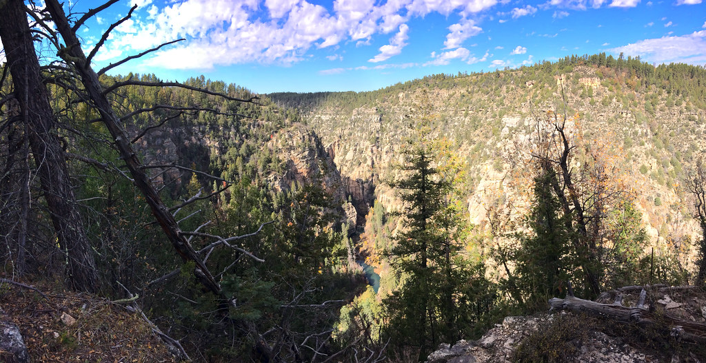 TramwayHikingPhoto: Coconino NF Photography, CC BY-SA 2.0 (via Flickr)1 mi
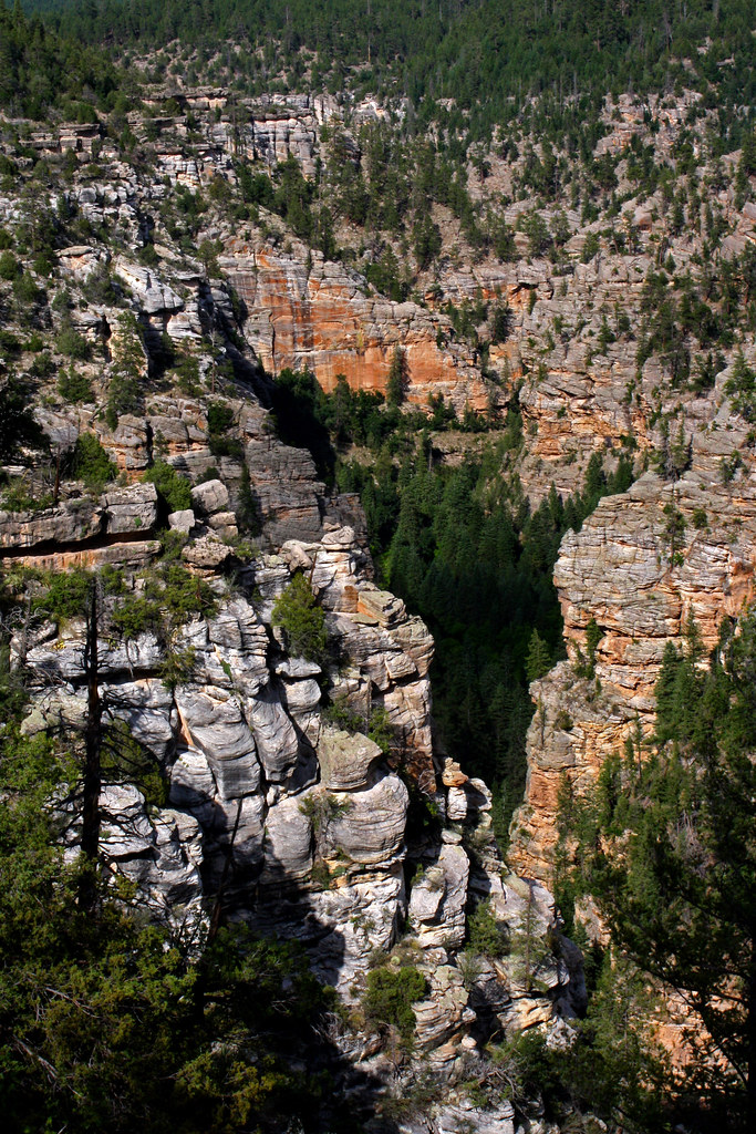 MaxwellHikingPhoto: Coconino NF Photography, CC BY-SA 2.0 (via Flickr)1.7 miAnti-CragRock climbingPhoto: Coconino National Forest, CC BY-SA 2.0 (via Wikimedia Commons)Next doorWest Clear CreekRock climbingPhoto: Coconino National Forest, CC BY-SA 2.0 (via Wikimedia Commons)Next doorMiddle SectionRock climbingPhoto: Coconino National Forest, CC BY-SA 2.0 (via Wikimedia Commons)~2 min driveJohn Doe WallRock climbingPhoto: Coconino National Forest, CC BY-SA 2.0 (via Wikimedia Commons)~2 min driveLog Jam areaRock climbingPhoto: Coconino National Forest, CC BY-SA 2.0 (via Wikimedia Commons)~2 min driveWest Clear CreekRock climbingPhoto: Coconino National Forest, CC BY-SA 2.0 (via Wikimedia Commons)~2 min drive
 Wet Beaver CrackRock climbingPhoto: Coconino National Forest, CC0 (via Wikimedia Commons)~27 min drive
 The ChossmineRock climbingPhoto: Brady Smith; Coconino National Forest, CC BY-SA 2.0 (via Wikimedia Commons)~38 min drive
 Whipper WallRock climbingPhoto: https://www.flickr.com/photos/cogdog/, CC BY-SA 2.0 (via Wikimedia Commons)~41 min drive
 Oak Creek SpireRock climbingPhoto: Coconino National Forest, CC BY-SA 2.0 (via Wikimedia Commons)~42 min drive
Also worth it near here
TramwayHikingPhoto: Coconino NF Photography, CC BY-SA 2.0 (via Flickr)~2 min drive Turkey SpringsMountain bikingPhoto: Brady Smith; Coconino National Forest, CC BY-SA 2.0 (via Wikimedia Commons)~16 min drive
 Strawberry MountainSummitPhoto: Cogdog, CC BY-SA 3.0 (via Wikimedia Commons)~20 min drive
Daily highs and lows, wind and the chance of precipitation at Quickie Wall for the next 7 days, from the Open-Meteo model.
Questions about Quickie Wall: conditions, access, timing. Answers say when something isn't known.
Long Valley
Campground
Places © Overture Maps Foundation
More in Blue Ridge