Long Valley
Campground
Campground · 5.6 mi from the trail
 Photo: Coconino National Forest, CC BY-SA 2.0 (via Wikimedia Commons)
Closure in the area
There's a closure order in Coconino National Forest. It doesn't name West Clear Creek, so check the source for the area it covers.
West Fork Temporary Area Closure - Extension to 2/27/27
Agency closure covering Coconino National Forest · Order 03-04-00-26-09 · USFS · Coconino National Forest
As of · Source: USFS · Coconino National Forest. Agencies don't list every closure — check before you go.
West Clear Creek is a climbing area in the Mogollon Rim Ranger District of Coconino National Forest in Arizona, managed by the Forest Service. It sits among a cluster of climbing areas, with Anti-Crag about half a mile away and Quickie Wall about 0.6 miles off. The area holds 13 traditional climbing routes, all rated between 5.8 and 5.10d on the YDS scale. The median grade is 5.10a. Among the routes are 30% Chance at 5.8, Brother's Bond at 5.10, and Loaded Chamber at 5.10d, which is the hardest climb here. Spring and fall are the most comfortable times to go. Typical averages from a nearby weather station run from highs around 70°F with lows near 38°F in May to highs around 67°F with lows near 34°F in October. July is the warmest month, with typical highs around 83°F.
Long Valley
Campground
The Wellhouse
Restaurant
Places © OpenStreetMap contributors
More in Blue RidgeBest months: May–October. Best months have typical highs of 55–85 °F, lows of 30 °F or warmer (32 °F where the station doesn't record snow), at most one snowy day and no more than 12 wet days.
Jan
45° / 17°
Feb
49° / 20°
Mar
55° / 25°
Apr
61° / 30°
May
70° / 38°
Jun
80° / 47°
Jul
83° / 55°
Aug
81° / 53°
Sep
76° / 46°
Oct
67° / 34°
Nov
55° / 24°
Dec
45° / 17°
Typical high / low (°F) and days with rain or snow, 1991–2020. Measured at Blue Ridge Rs, AZ, 14 mi away at 6,880 ft. This station doesn't record snowfall. Source: NOAA NCEI U.S. Climate Normals 1991–2020.
 Photo: Coconino National Forest, CC BY-SA 2.0 (via Wikimedia Commons)
Anti-Crag
Next door
Anti-Crag in Arizona has 19 climbing routes with 13 difficulty grades.
 Photo: Coconino National Forest, CC BY-SA 2.0 (via Wikimedia Commons)
Quickie Wall
Next door
Quickie Wall is a climbing area in Arizona with 5 trad routes.
Photo: Coconino National Forest, CC BY-SA 2.0 (via Wikimedia Commons)Middle Section
~1 min drive
Middle Section in Arizona has 8 climbing routes across 8 difficulty grades.
Photo: Coconino National Forest, CC BY-SA 2.0 (via Wikimedia Commons)Log Jam area
~1 min drive
Log Jam area in Arizona has 6 trad routes with 5 difficulty grades.
Photo: Coconino National Forest, CC BY-SA 2.0 (via Wikimedia Commons)John Doe Wall
~1 min drive
John Doe Wall is a climbing area in Arizona with 5 routes.
Photo: Coconino National Forest, CC BY-SA 2.0 (via Wikimedia Commons)West Clear Creek
~1 min drive
West Clear Creek in Arizona has 6 bouldering routes across 3 grades.
 Photo: Coconino National Forest, CC0 (via Wikimedia Commons)
Wet Beaver Crack
~28 min drive
Wet Beaver Crack in Arizona has 11 climbing routes with 7 difficulty grades, offering top-rope and trad options.
 Photo: Brady Smith; Coconino National Forest, CC BY-SA 2.0 (via Wikimedia Commons)
The Chossmine
~37 min drive
Chossmine in Arizona has 15 sport climbing routes on 9 difficulty grades.
 Photo: https://www.flickr.com/photos/cogdog/, CC BY-SA 2.0 (via Wikimedia Commons)
Whipper Wall
~40 min drive
Whipper Wall in Arizona has 5 routes ranging from easy to hard, offering sport and trad climbing.
Photo: https://www.flickr.com/photos/cogdog/, CC BY-SA 2.0 (via Wikimedia Commons)John Rae Dome
~41 min drive
John Rae Dome in Arizona has 10 climbing routes with 7 difficulty grades.
Also worth it near here
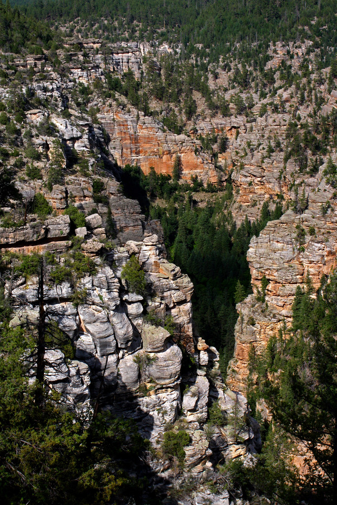 Photo: Coconino NF Photography, CC BY-SA 2.0 (via Flickr)
Maxwell
~2 min drive
BED
Long Valley
~10 min drive
SEE
Mogollon Rim Ranger District
~11 min drive
 Photo: Brady Smith; Coconino National Forest, CC BY-SA 2.0 (via Wikimedia Commons)
Turkey Springs
~16 min drive
 Photo: Cogdog, CC BY-SA 3.0 (via Wikimedia Commons)
Strawberry Mountain
~20 min drive
