Mount Emmons
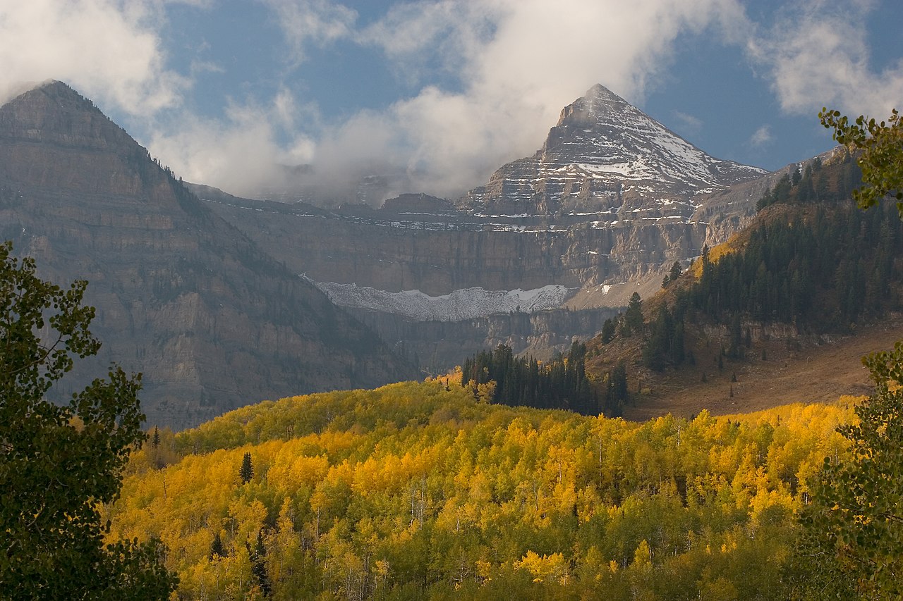 Photo: CanyonChaser at English Wikipedia, CC BY-SA 3.0 (via Wikimedia Commons)
- 13,444 ft
- summit
- Forest Service
- managed by
Is Mount Emmons open right now?
Alert in the area
The Forest Service lists 2 alerts for Ashley National Forest.
Anvil Draw Boat Ramp Temporary Closure
Agency alert covering Ashley National Forest · Order 0401-26-01-03 · USFS · Ashley National Forest
Flaming Gorge Reservoir Water Levels
Agency alert covering Ashley National Forest · USFS · Ashley National Forest
As of · Source: USFS · Ashley National Forest. Agencies don't list every closure — check before you go.
Mount Emmons is a summit of about 13,444 feet in Duchesne County, Utah, inside the High Uintas Wilderness. The surrounding land is part of the Roosevelt Ranger District of Ashley National Forest, managed by the Forest Service. The nearest town is Lonetree, Wyoming, about 24 miles away. Several hikes lie within a few miles of the peak. Farmers Lake is about 4 miles away, and the Chain Lakes-Atwood Trail is about 4.4 miles away. Gunsight and Jackson Park Trail are each about 5 miles off.
Conditions and forecast
Daily highs and lows, wind and the chance of precipitation at the summit for the next 7 days, from the Open-Meteo model.
- Summit elevation
- 13,444 ft
- Land manager
- Forest Service
Elevation from USGS 3D Elevation Program terrain data (about 10 m resolution).
We don't know of a mapped trail or route to the summit of Mount Emmons. Plan the approach with local maps, a guidebook or a local guide, and check conditions before you go.
Questions about Mount Emmons
How tall is Mount Emmons?
13,444 ft (4,098 m).
Is there a trail to the top of Mount Emmons?
We don't know of a mapped trail or route to the summit. Plan the approach with local maps, a guidebook or a local guide.
- South Kings Peak13,516 ft · Utah1 route5.4 mi away
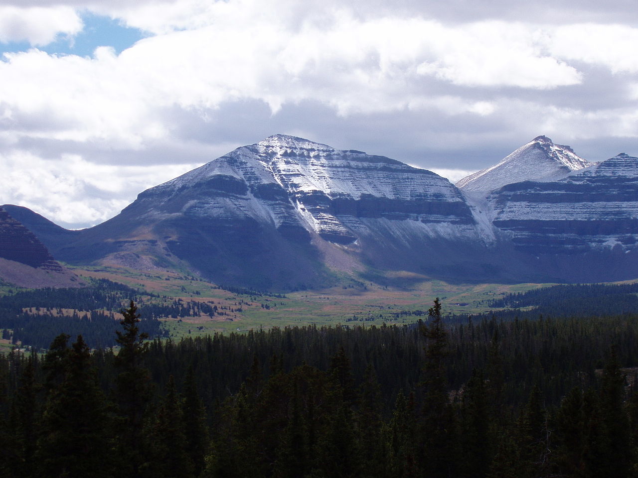 Kings Peak13,522 ft · Utah2 routes5.8 mi awayPhoto: Hyrum K. Wright, CC BY-SA 3.0 (via Wikimedia Commons)
- Wilson Peak13,061 ft · Utah1 route9.4 mi away
- Jay Point9,101 ft · Utah1 route26 mi away
- Ute Mountain8,837 ft · Utah1 route29 mi away
- Wolf Creek Peak9,967 ft · Utah1 route41 mi away
- Farmers LakeHiking3.9 mi
 Chain Lakes-Atwood TrailHikingPhoto: John Sowell, CC BY-SA 4.0 (via Wikimedia Commons)4.4 mi
- GunsightHikingPhoto: John Sowell, CC BY-SA 4.0 (via Wikimedia Commons)5.2 mi
- Jackson Park TrailHiking5.2 mi
- HIGHLINE CUTOFFHiking5.7 mi
- Old Chain Lakes TrailHiking5.9 mi
- CHAIN LAKES-ATWOODHiking6.1 mi
- Yellowstone CreekCanoeing6.5 mi
Source: Roamze catalog (indexable pages within 10 miles, PostGIS distance)
- Kings PeakSummit · ~10 min drivePhoto: Hyrum K. Wright, CC BY-SA 3.0 (via Wikimedia Commons)
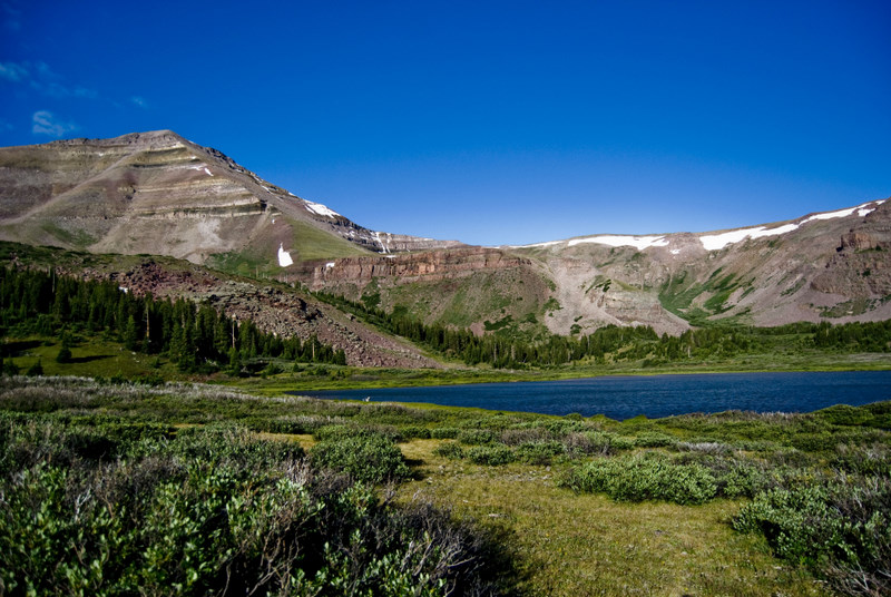 Gilbert PeakSummit · ~14 min drivePhoto: Philthy54 at en.wikipedia, CC BY 3.0 (via Wikimedia Commons)
 Mount LoveniaSummit · ~28 min drivePhoto: Intermountain Forest Service, USDA Region 4 Photography, Public domain (via Wikimedia Commons)
 Explorer PeakSummit · ~31 min drivePhoto: Intermountain Forest Service, USDA Region 4 Photography, Public domain (via Wikimedia Commons)
 Yard PeakSummit · ~37 min drivePhoto: Devin Stein, CC BY 2.0 (via Wikimedia Commons)
 Ostler PeakSummit · ~42 min drivePhoto: Forest Service, USDA, Public domain (via Wikimedia Commons)
 Mount AgassizSummit · ~47 min drivePhoto: Glennfcowan, CC BY-SA 3.0 (via Wikimedia Commons)
 Hayden PeakSummit · ~49 min drivePhoto: Glennfcowan, CC BY 3.0 (via Wikimedia Commons)
 Kletting PeakSummit · ~50 min drivePhoto: jcolber, CC BY 2.0 (via Wikimedia Commons)
 Bald MountainSummit · ~54 min drivePhoto: Glennfcowan, CC BY-SA 3.0 (via Wikimedia Commons)

