Jackson Park Trail
- 15.6 mi
- round trip
- 5,687 ft
- climb
- 11,614 ft
- high point
- Out and back
- route
Caution today
Agency alerts are in effect for this area; weather is marginal · USFS, OpenWeather · checked just now
Is Jackson Park Trail open right now?
Alert in the area
The Forest Service lists 2 alerts for Ashley National Forest.
Anvil Draw Boat Ramp Temporary Closure
Agency alert covering Ashley National Forest · Order 0401-26-01-03 · USFS · Ashley National Forest
Flaming Gorge Reservoir Water Levels
Agency alert covering Ashley National Forest · USFS · Ashley National Forest
As of · Source: USFS · Ashley National Forest. Agencies don't list every closure — check before you go.
Jackson Park Trail is a long, steep out-and-back hike in the High Uintas Wilderness, part of the Roosevelt Ranger District of Ashley National Forest in northeastern Utah. The Forest Service manages the land, and the route crosses wilderness boundaries, so plan on a full day or more. The trail starts at about 10,810 feet and climbs to a high point of 11,614 feet, with a total elevation gain of 5,687 feet over the course of the round trip. The steepest stretch comes at about 10.1 miles, where the grade reaches 41 percent. The total distance is about 31 miles, and the estimated time is around 13 hours. Several other hikes sit within a few miles, including Jackson Park, Swift Creek and Farmers Lake. Yellowstone Group Campground is about 6.6 miles away for an overnight stay.
- Jackson ParkHiking2.4 mi
- Swift CreekHiking2.6 mi
- YellowstoneHiking2.6 mi
- Farmers LakeHiking3.4 mi
- Upper Yellowstone Spur West TrailHiking3.4 mi
- Yellowstone CreekCanoeing5.5 mi
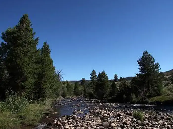 Yellowstone Group CampgroundCampingPhoto: Recreation.gov (RIDB) / public domain6.6 mi
- Uinta RiverCamping9.4 mi
Source: Roamze catalog (indexable pages within 10 miles, PostGIS distance)
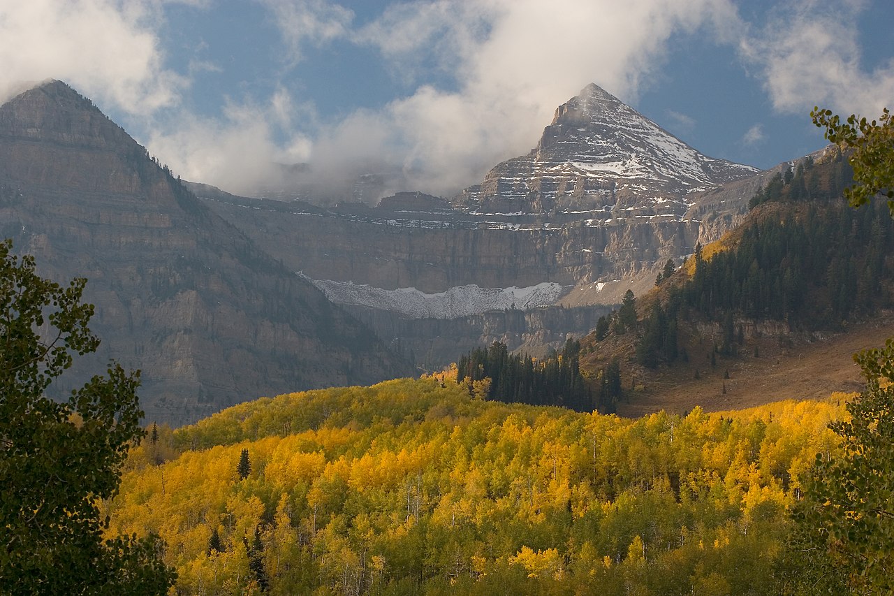
 Chain Lakes-Atwood TrailHiking · ~16 min drivePhoto: John Sowell, CC BY-SA 4.0 (via Wikimedia Commons)
- GunsightHiking · ~17 min drivePhoto: John Sowell, CC BY-SA 4.0 (via Wikimedia Commons)
- Jackson ParkHiking · ~4 min drive
- LowlineHiking · ~10 min drive
- Center Park TrailHiking · ~11 min drive
- Farmers LakeHiking · ~6 min drive
- Swift CreekHiking · ~4 min drive
- Lily Pad AHiking · ~10 min drive
- CHAIN LAKES-ATWOODHiking · ~13 min drive
- Upper Yellowstone Spur West TrailHiking · ~6 min drive

Map and trail data © OpenStreetMap contributors
