Yard Peak
 Photo: Devin Stein, CC BY 2.0 (via Wikimedia Commons)
- 12,709 ft
- summit
- Forest Service
- managed by
Is Yard Peak open right now?
No closures listed
The Forest Service lists no closures for Uinta-Wasatch-Cache National Forest.
As of · Source: USFS · Uinta-Wasatch-Cache National Forest. Agencies don't list every closure — check before you go.
Yard Peak is a summit of about 12,709 feet in Duchesne County, Utah, inside the High Uintas Wilderness. The peak lies within the Evanston-Mountain View Ranger District of the Uinta-Wasatch-Cache National Forest, which the Forest Service manages. The nearest town is the Christmas Meadow Summer Home Area, about 7 miles away. Several other destinations sit within a few miles. Amethyst Lake is about 2.4 miles away, and the Jack and Jill Trail and Rock Creek Trail are each about 2.7 miles off. Christmas Meadows campground is roughly 7 miles away.
Conditions and forecast
Daily highs and lows, wind and the chance of precipitation at the summit for the next 7 days, from the Open-Meteo model.
- Summit elevation
- 12,709 ft
- Land manager
- Forest Service
Elevation from USGS 3D Elevation Program terrain data (about 10 m resolution).
We don't know of a mapped trail or route to the summit of Yard Peak. Plan the approach with local maps, a guidebook or a local guide, and check conditions before you go.
Questions about Yard Peak
How tall is Yard Peak?
12,709 ft (3,874 m).
Is there a trail to the top of Yard Peak?
We don't know of a mapped trail or route to the summit. Plan the approach with local maps, a guidebook or a local guide.
- Wilson Peak13,061 ft · Utah1 route13 mi away
- South Kings Peak13,516 ft · Utah1 route18 mi away
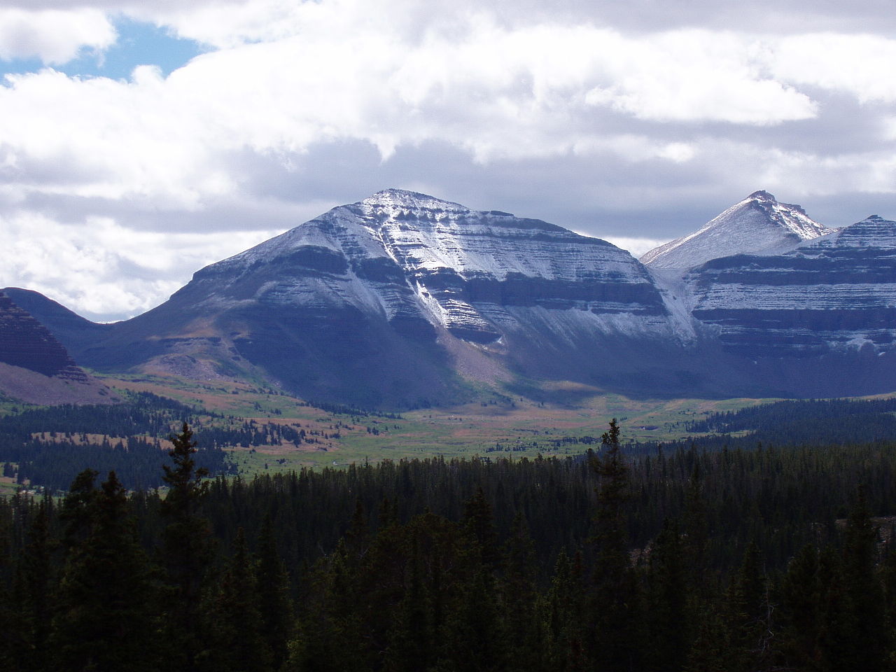 Kings Peak13,522 ft · Utah2 routes18 mi awayPhoto: Hyrum K. Wright, CC BY-SA 3.0 (via Wikimedia Commons)
- Wolf Creek Peak9,967 ft · Utah1 route25 mi away
- Hoyt Peak10,233 ft · Utah1 route26 mi away
 Bald Mountain9,344 ft · Utah2 routes42 mi awayPhoto: An Errant Knight, CC BY-SA 4.0 (via Wikimedia Commons)
- Amethyst LakeLake fishing2.4 mi
- Jack and Jill TrailHiking2.7 mi
- Rock Creek TrailHiking2.7 mi
 Uinta MountainsRock climbingPhoto: Eugene Crosser, CC BY 3.0 (via Wikimedia Commons)4.4 mi
- Carolyn LakeLake fishing6.3 mi
- Christmas MeadowsCamping6.8 mi
- Hayden PeakRock climbing7.3 mi
- Wolverine ATV Trailhead/CampgroundCamping8.4 mi
Source: Roamze catalog (indexable pages within 10 miles, PostGIS distance)
 Explorer PeakSummit · ~7 min drivePhoto: Intermountain Forest Service, USDA Region 4 Photography, Public domain (via Wikimedia Commons)
 Mount LoveniaSummit · ~10 min drivePhoto: Intermountain Forest Service, USDA Region 4 Photography, Public domain (via Wikimedia Commons)
 Mount AgassizSummit · ~11 min drivePhoto: Glennfcowan, CC BY-SA 3.0 (via Wikimedia Commons)
 Hayden PeakSummit · ~12 min drivePhoto: Glennfcowan, CC BY 3.0 (via Wikimedia Commons)
 Notch MountainSummit · ~22 min drivePhoto: Andrey Zharkikh, CC BY 2.0 (via Wikimedia Commons)
- Kings PeakSummit · ~31 min drivePhoto: Hyrum K. Wright, CC BY-SA 3.0 (via Wikimedia Commons)
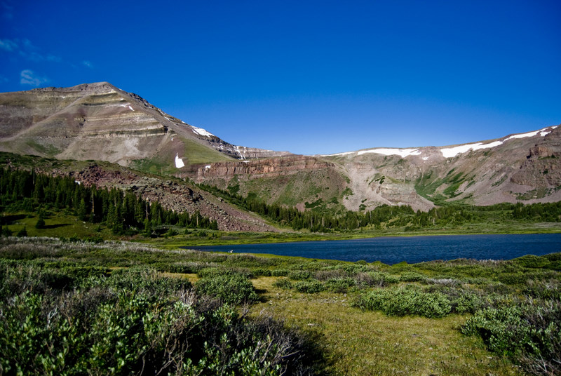 Gilbert PeakSummit · ~35 min drivePhoto: Philthy54 at en.wikipedia, CC BY 3.0 (via Wikimedia Commons)
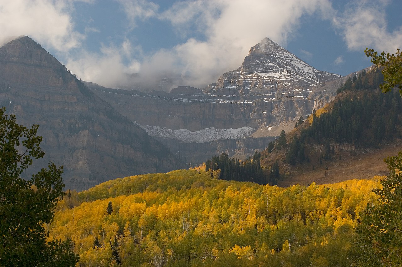 Mount EmmonsSummit · ~37 min drivePhoto: CanyonChaser at English Wikipedia, CC BY-SA 3.0 (via Wikimedia Commons)
- Bald MountainSummit · ~1h 11m drivePhoto: An Errant Knight, CC BY-SA 4.0 (via Wikimedia Commons)
 Clayton PeakSummit · ~1h 19m drivePhoto: drdanielweir, CC BY 3.0 (via Wikimedia Commons)
Also worth it near here

