Jay Point
- 9,101 ft
- summit
- 1
- way up
Is Jay Point open right now?
Alert in the area
The Forest Service lists 2 alerts for Ashley National Forest.
Anvil Draw Boat Ramp Temporary Closure
Agency alert covering Ashley National Forest · Order 0401-26-01-03 · USFS · Ashley National Forest
Flaming Gorge Reservoir Water Levels
Agency alert covering Ashley National Forest · USFS · Ashley National Forest
As of · Source: USFS · Ashley National Forest. Agencies don't list every closure — check before you go.
Jay Point is a summit in Utah's Ashley National Forest, within the Vernal Ranger District. The closest town is Dry Fork, just under 9 miles away, which makes it the natural reference point when planning a trip into this part of the forest. The summit sits in a cluster of trails and routes, so it pairs easily with other outings in the same area. As national forest land, it falls under Ashley National Forest management, and visitors should follow the forest's current rules and any notices posted for the Vernal Ranger District. Several options lie close by. The Dry Fork Flume Loop is about a mile away, while Sink Ridge Trail and Lake Mountain are each roughly 1.2 miles off. For an overnight base, Paradise Guard Station campground is about 6 miles from the summit.
Conditions and forecast
Daily highs and lows, wind and the chance of precipitation at the summit and route start for the next 7 days, from the Open-Meteo model.
- Summit elevation
- 9,101 ft
Elevation from USGS 3D Elevation Program terrain data (about 10 m resolution).
Map © Mapbox © OpenStreetMap contributors Questions about Jay Point
How tall is Jay Point?
9,101 ft (2,774 m).
How many routes go to the summit of Jay Point?
One: LAKE MOUNTAIN.
- Ute Mountain8,837 ft · Utah1 route18 mi away
- South Kings Peak13,516 ft · Utah1 route31 mi away
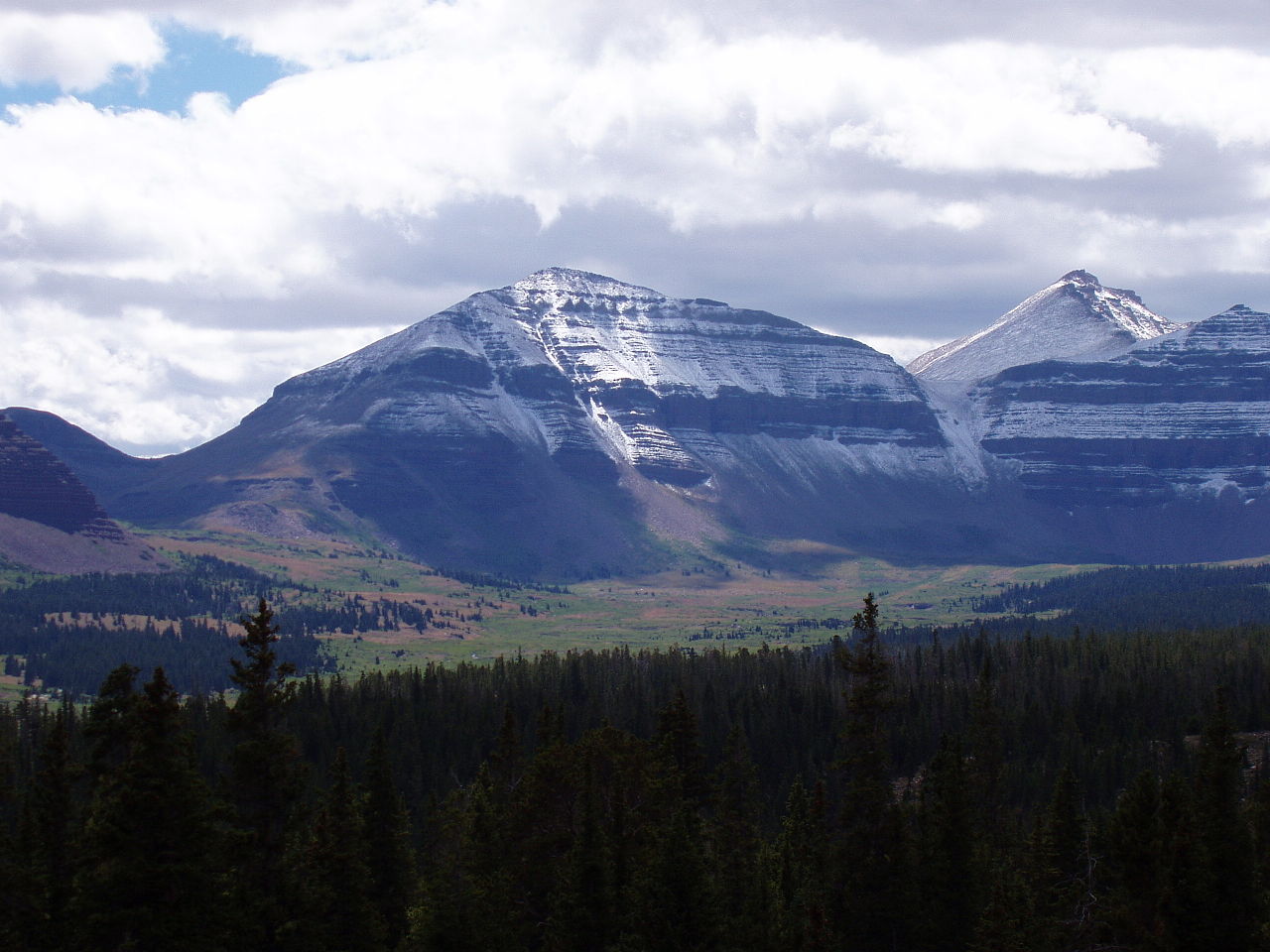 Kings Peak13,522 ft · Utah2 routes31 mi awayPhoto: Hyrum K. Wright, CC BY-SA 3.0 (via Wikimedia Commons)
- Wilson Peak13,061 ft · Utah1 route36 mi away
- Ruple Point7,682 ft · Utah1 route38 mi away
- Wolf Creek Peak9,967 ft · Utah1 route64 mi away
- Dry Fork Flume LoopHiking1.1 mi
- Sink Ridge TrailHiking1.2 mi
- LAKE MOUNTAINHiking1.2 mi
- South Fork Dry ForkMountain biking1.6 mi
- Dry ForkCanoeing1.9 mi
- Dry Fork FlumeMountain biking1.9 mi
- Dry Fork NatureHiking2 mi
- Paradise Guard StationCamping6.1 mi
Source: Roamze catalog (indexable pages within 10 miles, PostGIS distance)
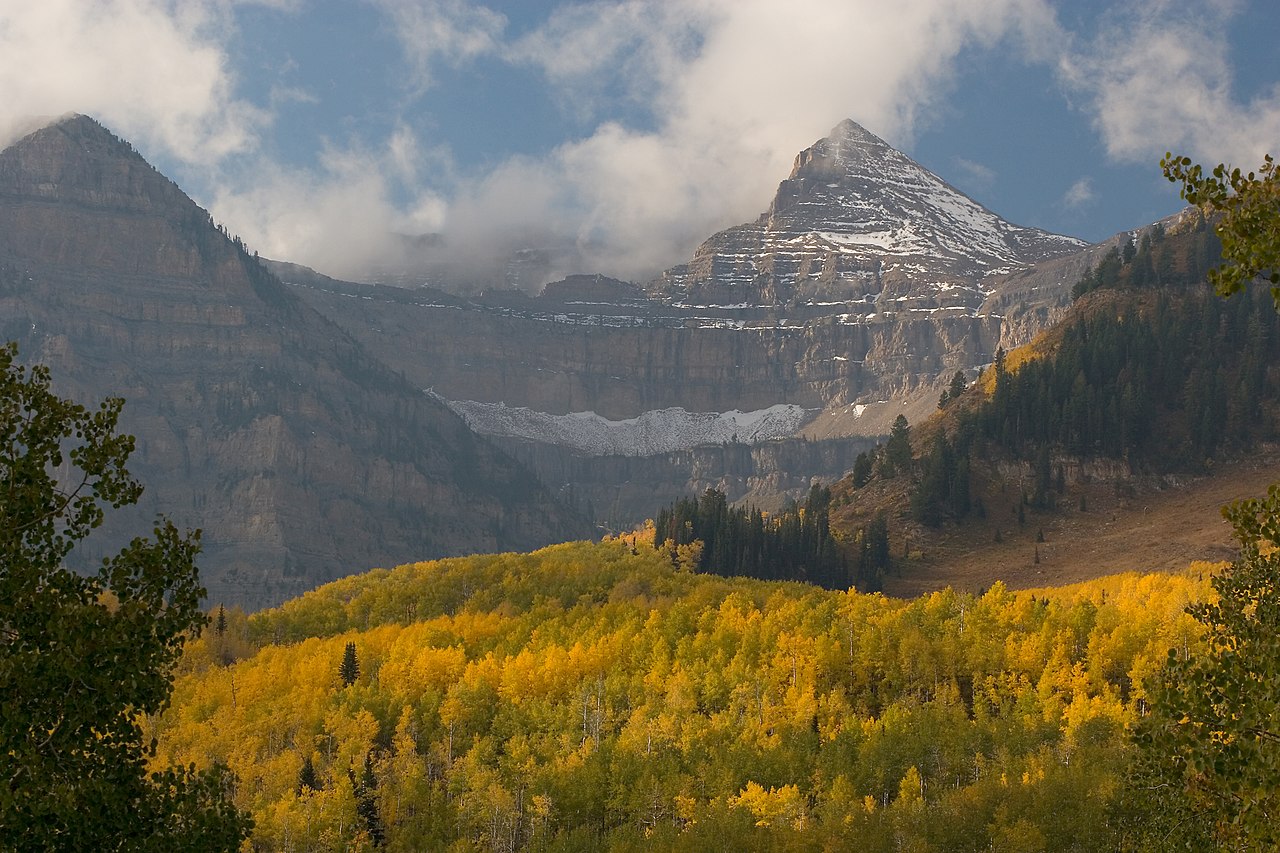 Mount EmmonsSummit · ~45 min drivePhoto: CanyonChaser at English Wikipedia, CC BY-SA 3.0 (via Wikimedia Commons)
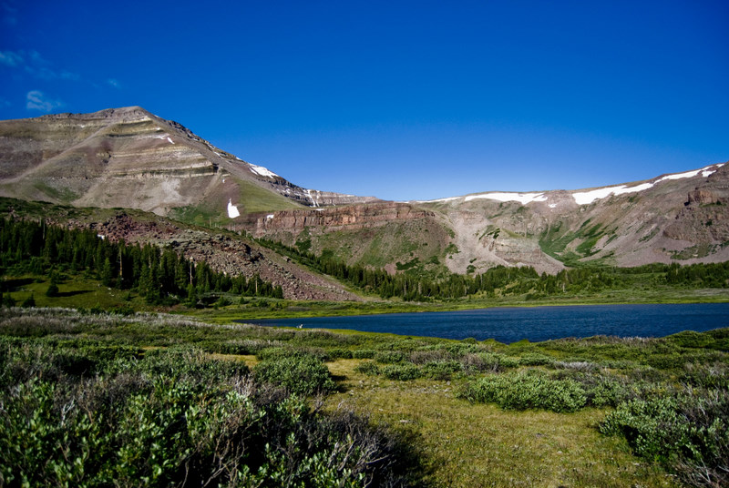 Gilbert PeakSummit · ~53 min drivePhoto: Philthy54 at en.wikipedia, CC BY 3.0 (via Wikimedia Commons)
- Kings PeakSummit · ~54 min drivePhoto: Hyrum K. Wright, CC BY-SA 3.0 (via Wikimedia Commons)
 Split MountainSummit · ~56 min drivePhoto: MostlyDross, CC BY 2.0 (via Wikimedia Commons)
 Mount LoveniaSummit · ~1h 13m drivePhoto: Intermountain Forest Service, USDA Region 4 Photography, Public domain (via Wikimedia Commons)
 Explorer PeakSummit · ~1h 15m drivePhoto: Intermountain Forest Service, USDA Region 4 Photography, Public domain (via Wikimedia Commons)
 Yard PeakSummit · ~1h 22m drivePhoto: Devin Stein, CC BY 2.0 (via Wikimedia Commons)
- Ute MountainSummit · ~31 min drive
- South Kings PeakSummit · ~53 min drive
- Wilson PeakSummit · ~1h 1m drive
