Explorer Peak
 Photo: Intermountain Forest Service, USDA Region 4 Photography, Public domain (via Wikimedia Commons)
At a glance
Explorer Peak is a high summit in Duchesne County, Utah, inside the High Uintas Wilderness. The land falls within the Roosevelt Ranger District of Ashley National Forest and is managed by the Forest Service. The nearest named community is Christmas Meadow Summer Home Area, about 11 miles away. Because the peak lies within designated wilderness, wilderness rules apply to any trip here. Nearby hikes include Ottoson, about 3 miles off, the East Fork Blacks Fork Trail and Two Pond. Amethyst Lake, roughly 6.5 miles away, adds a fishing option.
- summit
- 12,708 ft
- managed by
- Forest Service
Where it is: High Uintas Wilderness · Roosevelt Ranger District
Near: Tabiona
Been here? Tell people how it was.
We don't know of a mapped trail or route to the summit of Explorer Peak. Plan the approach with local maps, a guidebook or a local guide, and check conditions before you go.
- Wilson Peak13,061 ft · Utah1 route10 mi away
- South Kings Peak13,516 ft · Utah1 route14 mi away
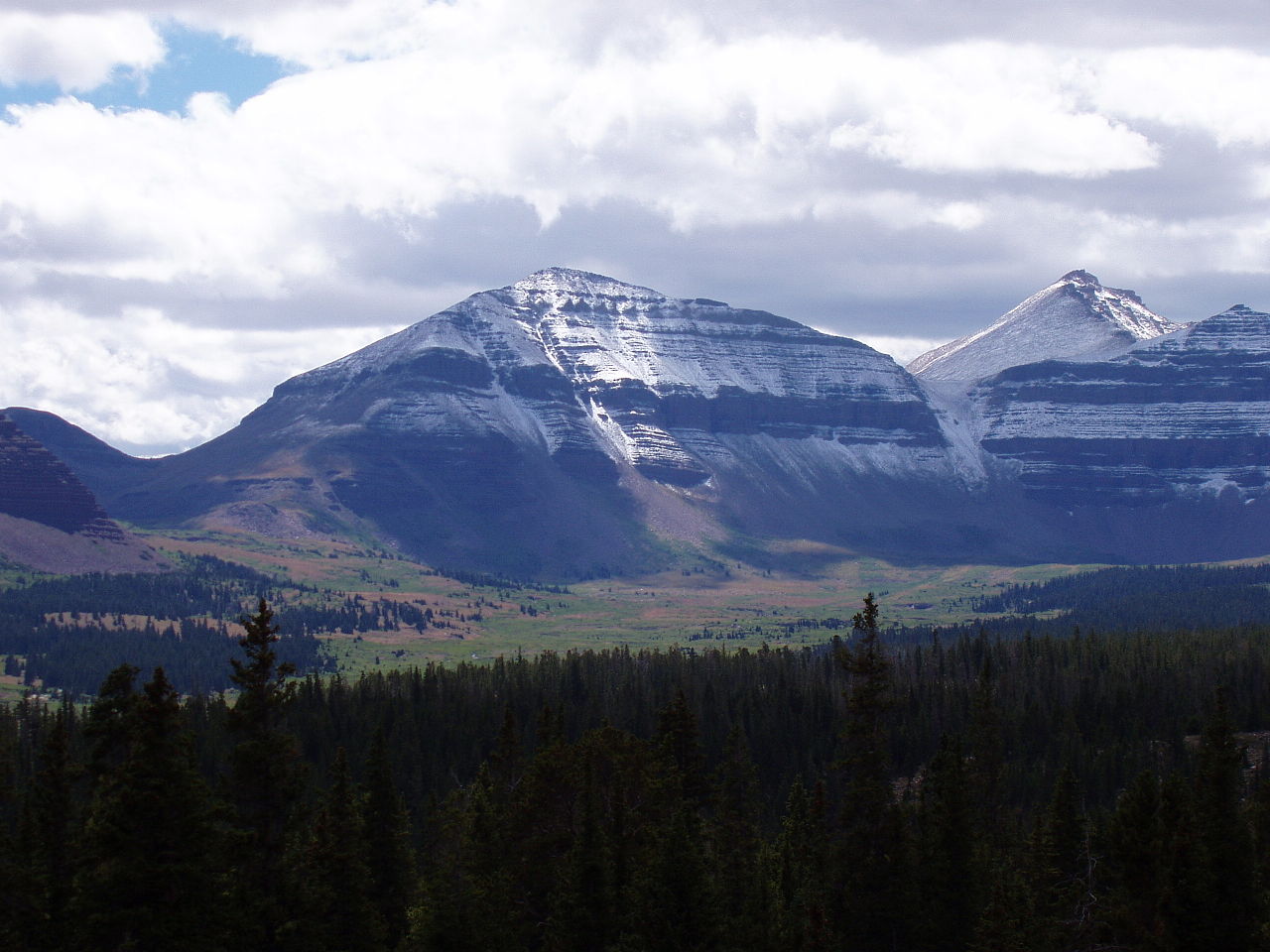 Kings Peak13,522 ft · Utah2 routes15 mi awayPhoto: Hyrum K. Wright, CC BY-SA 3.0 (via Wikimedia Commons)
- Wolf Creek Peak9,967 ft · Utah1 route26 mi away
- Hoyt Peak10,233 ft · Utah1 route29 mi away
- Jay Point9,101 ft · Utah1 route44 mi away
- OttosonHiking3 mi
- East Fork Blacks Fork TrailHiking3.1 mi
- Two PondHiking4.3 mi
 Uinta MountainsRock climbingPhoto: Eugene Crosser, CC BY 3.0 (via Wikimedia Commons)6.2 mi
- Amethyst LakeLake fishing6.5 mi
 Scout LakeRock climbingPhoto: John Sowell, CC BY-SA 4.0 (via Wikimedia Commons)7.3 mi
- Picturesque WallRock climbingPhoto: John Sowell, CC BY-SA 4.0 (via Wikimedia Commons)7.3 mi
- Carolyn LakeLake fishing7.9 mi
 Ostler PeakSummitPhoto: Forest Service, USDA, Public domain (via Wikimedia Commons)~12 min drive
 Hayden PeakSummitPhoto: Glennfcowan, CC BY 3.0 (via Wikimedia Commons)~18 min drive
 Notch MountainSummitPhoto: Andrey Zharkikh, CC BY 2.0 (via Wikimedia Commons)~27 min drive
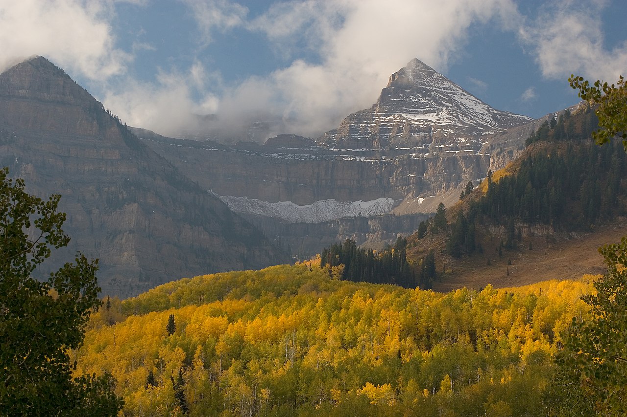 Mount EmmonsSummitPhoto: CanyonChaser at English Wikipedia, CC BY-SA 3.0 (via Wikimedia Commons)~31 min drive
 Bald MountainSummitPhoto: An Errant Knight, CC BY-SA 4.0 (via Wikimedia Commons)~1h 16m drive
 Clayton PeakSummitPhoto: drdanielweir, CC BY 3.0 (via Wikimedia Commons)~1h 24m drive
 Mount LoveniaSummitPhoto: Intermountain Forest Service, USDA Region 4 Photography, Public domain (via Wikimedia Commons)~6 min drive
 Yard PeakSummitPhoto: Devin Stein, CC BY 2.0 (via Wikimedia Commons)~7 min drive
 Mount AgassizSummitPhoto: Glennfcowan, CC BY-SA 3.0 (via Wikimedia Commons)~16 min drive
 Kletting PeakSummitPhoto: jcolber, CC BY 2.0 (via Wikimedia Commons)~20 min drive
Conditions and forecast
Caution todayAgency alerts are in effect for this areaUSFS · checked 10 h agoDaily highs and lows, wind and the chance of precipitation at the summit for the next 7 days, from the Open-Meteo model.
Questions about Explorer Peak
How tall is Explorer Peak?
12,708 ft (3,873 m).
Is there a trail to the top of Explorer Peak?
We don't know of a mapped trail or route to the summit. Plan the approach with local maps, a guidebook or a local guide.

Ask about this place
Questions about Explorer Peak: conditions, access, timing. Answers say when something isn't known.
