Ute Mountain
- 8,837 ft
- summit
- 1
- way up
Is Ute Mountain open right now?
Alert in the area
The Forest Service lists 2 alerts for Ashley National Forest.
Anvil Draw Boat Ramp Temporary Closure
Agency alert covering Ashley National Forest · Order 0401-26-01-03 · USFS · Ashley National Forest
Flaming Gorge Reservoir Water Levels
Agency alert covering Ashley National Forest · USFS · Ashley National Forest
As of · Source: USFS · Ashley National Forest. Agencies don't list every closure — check before you go.
Ute Mountain is a summit in the Flaming Gorge Ranger District of Ashley National Forest in northeastern Utah. The nearest town is Manila, about 9 miles away. The route to the top, its length and the amount of climbing involved aren't covered here, so the summit stands on its location and its neighbors. Several places sit close to the mountain. Browne Lake Group Sites is about a mile away, and Browne Lake campground is roughly 1.5 miles off. The Old Carter Military Trail starts about 1.2 miles away for hikers. Climbers will find the Shredder climbing area just under 2 miles from the summit.
Conditions and forecast
Daily highs and lows, wind and the chance of precipitation at the summit and route start for the next 7 days, from the Open-Meteo model.
- Summit elevation
- 8,837 ft
Elevation from USGS 3D Elevation Program terrain data (about 10 m resolution).
Map © Mapbox © OpenStreetMap contributors Questions about Ute Mountain
How tall is Ute Mountain?
8,837 ft (2,694 m).
How many routes go to the summit of Ute Mountain?
One: Ute Mountain.
When is the best time to climb Ute Mountain?
Year-round.
- Jay Point9,101 ft · Utah1 route18 mi away
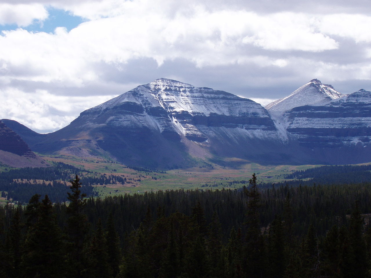 Kings Peak13,522 ft · Utah2 routes31 mi awayPhoto: Hyrum K. Wright, CC BY-SA 3.0 (via Wikimedia Commons)
- South Kings Peak13,516 ft · Utah1 route32 mi away
- Wilson Peak13,061 ft · Utah1 route36 mi away
- Ruple Point7,682 ft · Utah1 route44 mi away
- Wolf Creek Peak9,967 ft · Utah1 route70 mi away
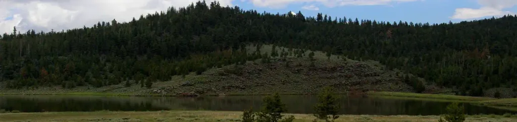 Browne Lake Group SitesCampingPhoto: Recreation.gov (RIDB) / public domain1 mi
- Old Carter Military TrailHiking1.2 mi
- Carter Military TrailHiking1.4 mi
- Browne LakeCamping1.5 mi
 ShredderRock climbingPhoto: Carpenter, Kenneth, CC BY-SA 4.0 (via Wikimedia Commons)1.9 mi
- Sheep Creek - Windy RidgeRock climbingPhoto: Carpenter, Kenneth, CC BY-SA 4.0 (via Wikimedia Commons)2.4 mi
- Sheep CreekCanoeing3.4 mi
- Carter CreekCanoeing4.6 mi
Source: Roamze catalog (indexable pages within 10 miles, PostGIS distance)
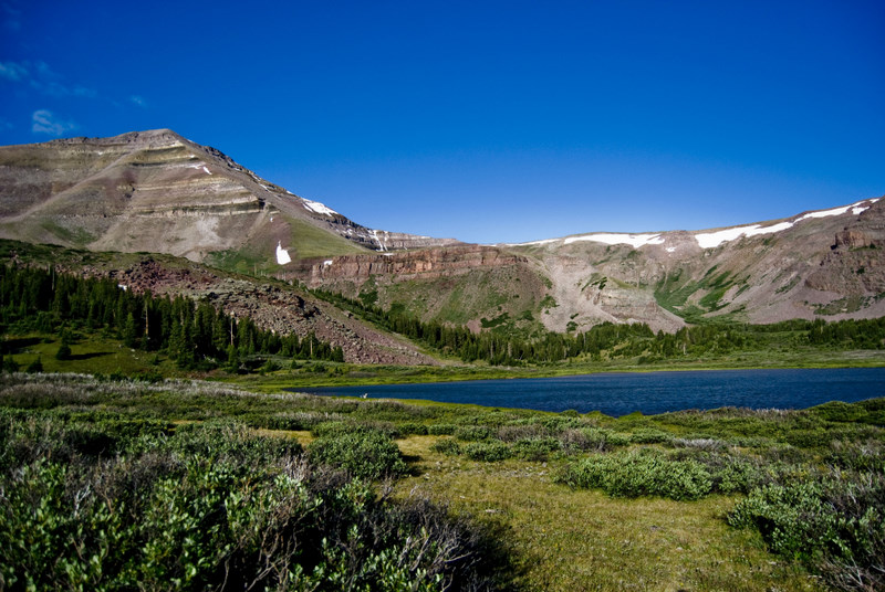 Gilbert PeakSummit · ~50 min drivePhoto: Philthy54 at en.wikipedia, CC BY 3.0 (via Wikimedia Commons)
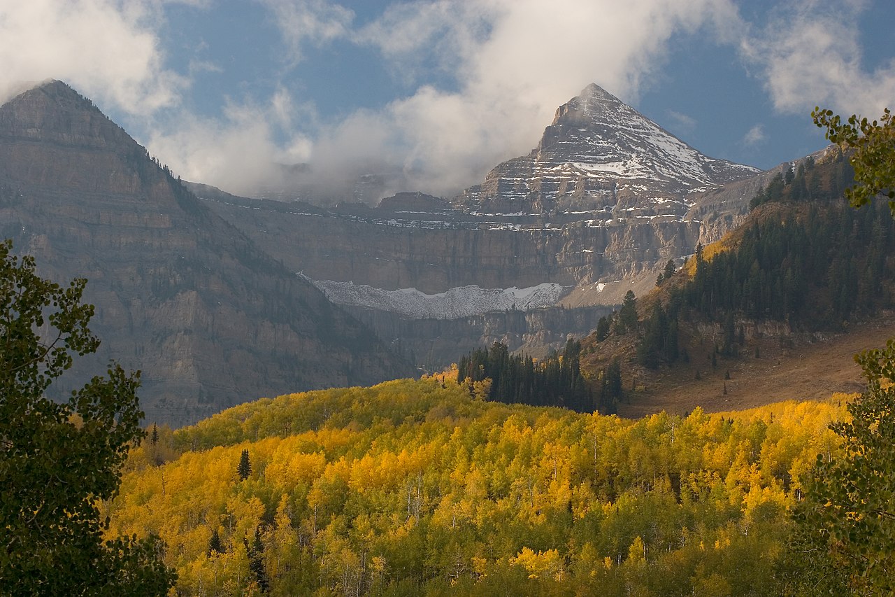 Mount EmmonsSummit · ~50 min drivePhoto: CanyonChaser at English Wikipedia, CC BY-SA 3.0 (via Wikimedia Commons)
- Kings PeakSummit · ~53 min drivePhoto: Hyrum K. Wright, CC BY-SA 3.0 (via Wikimedia Commons)
 Split MountainSummit · ~1h 9m drivePhoto: MostlyDross, CC BY 2.0 (via Wikimedia Commons)
 Mount LoveniaSummit · ~1h 14m drivePhoto: Intermountain Forest Service, USDA Region 4 Photography, Public domain (via Wikimedia Commons)
 Explorer PeakSummit · ~1h 19m drivePhoto: Intermountain Forest Service, USDA Region 4 Photography, Public domain (via Wikimedia Commons)
 Yard PeakSummit · ~1h 24m drivePhoto: Devin Stein, CC BY 2.0 (via Wikimedia Commons)
- Jay PointSummit · ~31 min drive
- South Kings PeakSummit · ~54 min drive
- Wilson PeakSummit · ~1h 1m drive
