Mount Agassiz
 Photo: Glennfcowan, CC BY-SA 3.0 (via Wikimedia Commons)
- 12,431 ft
- summit
- Forest Service
- managed by
Is Mount Agassiz open right now?
No closures listed
The Forest Service lists no closures for Uinta-Wasatch-Cache National Forest.
As of · Source: USFS · Uinta-Wasatch-Cache National Forest. Agencies don't list every closure — check before you go.
Mount Agassiz is a summit of about 12,431 feet in Duchesne County, Utah, inside the High Uintas Wilderness. The surrounding land is part of the Heber-Kamas Ranger District of the Uinta-Wasatch-Cache National Forest, managed by the Forest Service. The nearest town is Samak, about 22 miles away. The High Uintas Wilderness covers the summit, and the Forest Service manages the surrounding national forest. Several other destinations sit close by. Blue Lake and the Naturalist Basin mountain biking area are each about 1.3 miles away, and the Green Meadow Crags climbing area is about 1.8 miles off. Butterfly Lake campground is about 2.3 miles away.
Conditions and forecast
Daily highs and lows, wind and the chance of precipitation at the summit for the next 7 days, from the Open-Meteo model.
- Summit elevation
- 12,431 ft
- Land manager
- Forest Service
Elevation from USGS 3D Elevation Program terrain data (about 10 m resolution).
We don't know of a mapped trail or route to the summit of Mount Agassiz. Plan the approach with local maps, a guidebook or a local guide, and check conditions before you go.
Questions about Mount Agassiz
How tall is Mount Agassiz?
12,431 ft (3,789 m).
Is there a trail to the top of Mount Agassiz?
We don't know of a mapped trail or route to the summit. Plan the approach with local maps, a guidebook or a local guide.
- Wolf Creek Peak9,967 ft · Utah1 route19 mi away
- Wilson Peak13,061 ft · Utah1 route20 mi away
- Hoyt Peak10,233 ft · Utah1 route20 mi away
- South Kings Peak13,516 ft · Utah1 route24 mi away
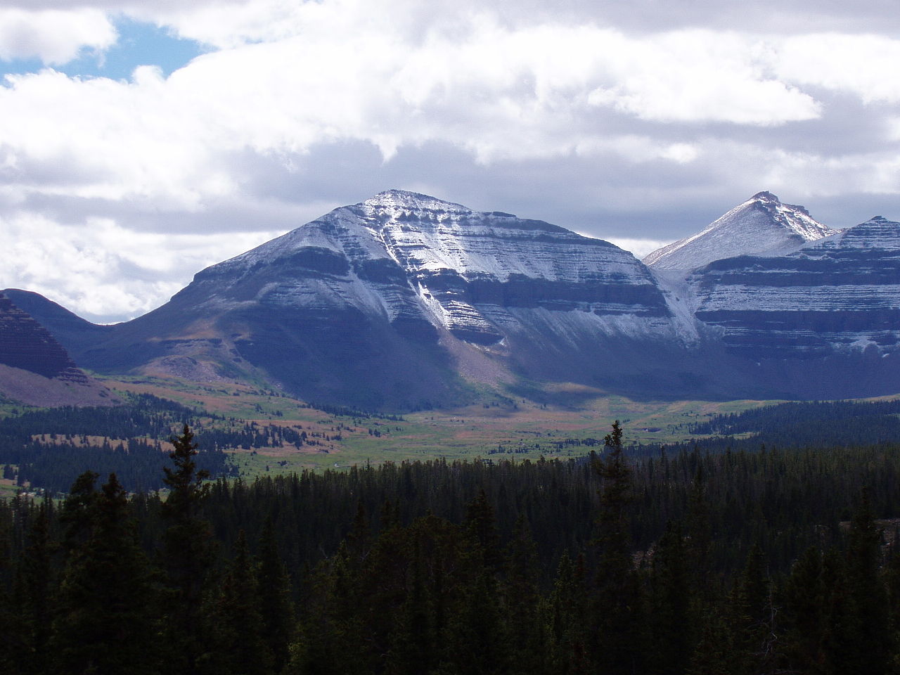 Kings Peak13,522 ft · Utah2 routes24 mi awayPhoto: Hyrum K. Wright, CC BY-SA 3.0 (via Wikimedia Commons)
 Bald Mountain9,344 ft · Utah2 routes35 mi awayPhoto: An Errant Knight, CC BY-SA 4.0 (via Wikimedia Commons)
- Blue LakeHiking1.3 mi
- Naturalist BasinMountain biking1.3 mi
- Green Meadow CragsRock climbing1.8 mi
- Iron Hayden WallRock climbing2 mi
- Butterfly LakeCamping2.3 mi
- Fehr LakeLake fishing3.6 mi
- MoosehornCamping3.8 mi
- Amethyst LakeLake fishing4.4 mi
Source: Roamze catalog (indexable pages within 10 miles, PostGIS distance)
 Hayden PeakSummit · ~3 min drivePhoto: Glennfcowan, CC BY 3.0 (via Wikimedia Commons)
 Ostler PeakSummit · ~7 min drivePhoto: Forest Service, USDA, Public domain (via Wikimedia Commons)
 Yard PeakSummit · ~11 min drivePhoto: Devin Stein, CC BY 2.0 (via Wikimedia Commons)
 Explorer PeakSummit · ~16 min drivePhoto: Intermountain Forest Service, USDA Region 4 Photography, Public domain (via Wikimedia Commons)
 Mount LoveniaSummit · ~20 min drivePhoto: Intermountain Forest Service, USDA Region 4 Photography, Public domain (via Wikimedia Commons)
- Kings PeakSummit · ~41 min drivePhoto: Hyrum K. Wright, CC BY-SA 3.0 (via Wikimedia Commons)
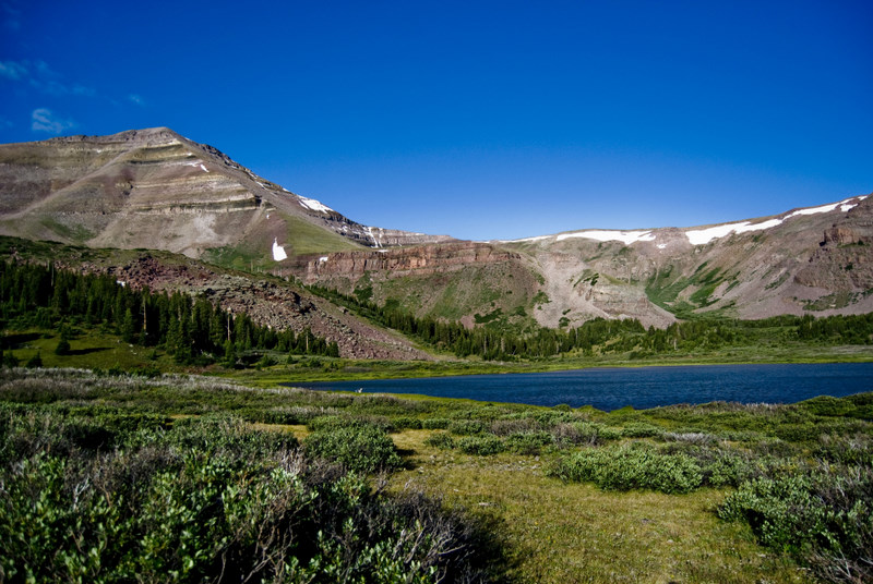 Gilbert PeakSummit · ~46 min drivePhoto: Philthy54 at en.wikipedia, CC BY 3.0 (via Wikimedia Commons)
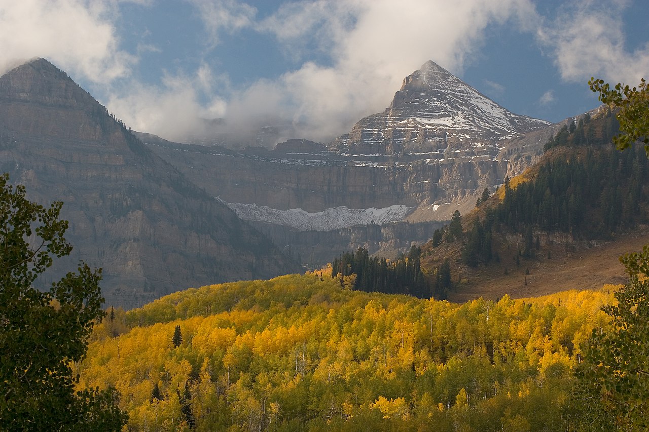 Mount EmmonsSummit · ~47 min drivePhoto: CanyonChaser at English Wikipedia, CC BY-SA 3.0 (via Wikimedia Commons)
 Clayton PeakSummit · ~1h 8m drivePhoto: drdanielweir, CC BY 3.0 (via Wikimedia Commons)
 Sunset PeakSummit · ~1h 11m drivePhoto: Andrey Zharkikh, CC BY 2.0 (via Wikimedia Commons)

