Chain Lakes-Atwood Trail
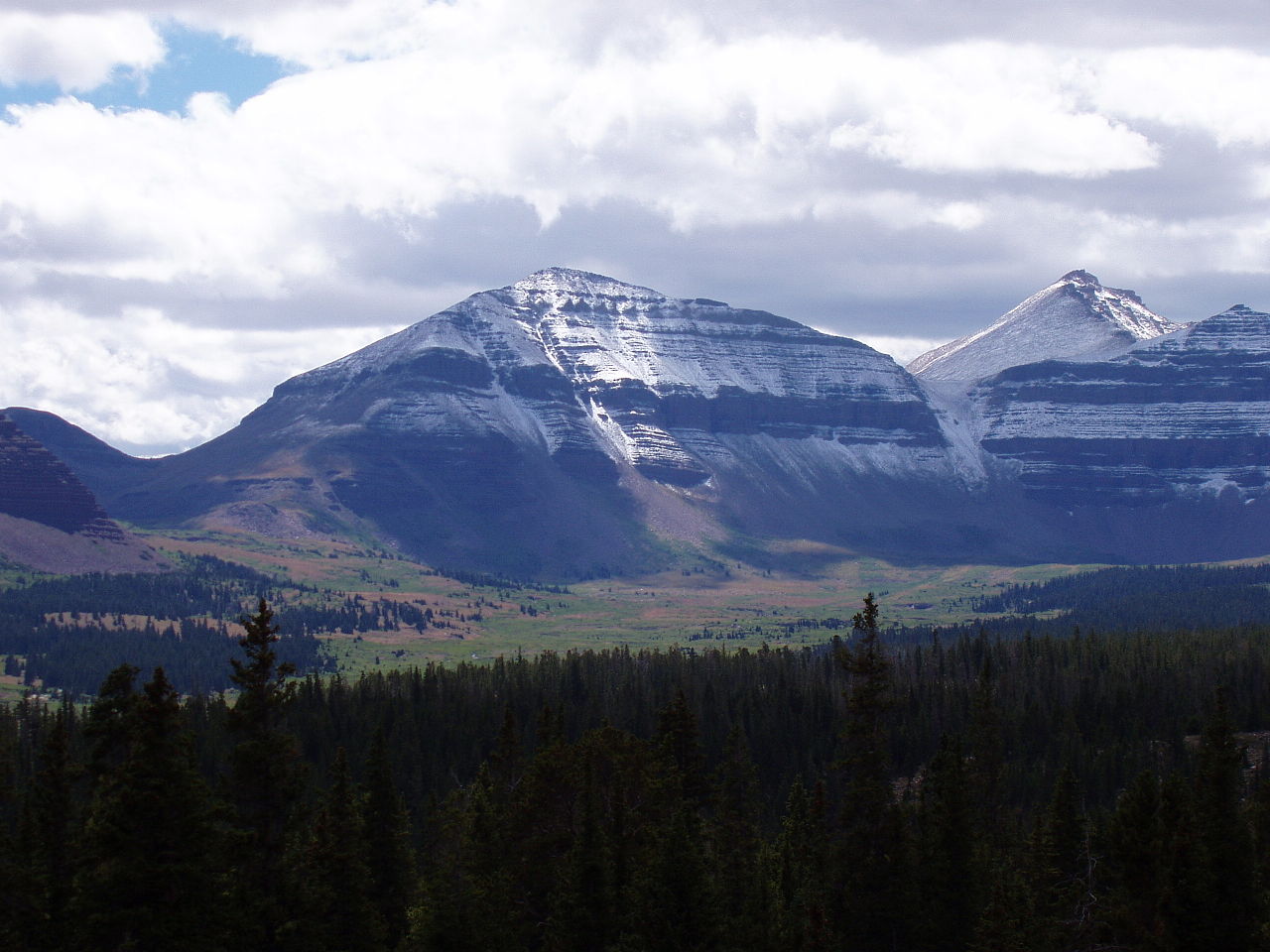
 Photo: John Sowell, CC BY-SA 4.0 (via Wikimedia Commons)
- 16.3 mi
- round trip
- 5,339 ft
- climb
- 11,759 ft
- high point
- Out and back
- route
Caution at last check
Agency alerts are in effect for this area; weather is marginal · USFS, OpenWeather · checked 21 h ago
Is Chain Lakes-Atwood Trail open right now?
Alert in the area
The Forest Service lists 2 alerts for Ashley National Forest.
Anvil Draw Boat Ramp Temporary Closure
Agency alert covering Ashley National Forest · Order 0401-26-01-03 · USFS · Ashley National Forest
Flaming Gorge Reservoir Water Levels
Agency alert covering Ashley National Forest · USFS · Ashley National Forest
As of · Source: USFS · Ashley National Forest. Agencies don't list every closure — check before you go.
The Chain Lakes-Atwood Trail is a long, steep out-and-back route in Utah's High Uintas Wilderness, within the Roosevelt Ranger District of Ashley National Forest. The Forest Service manages the land, and the trail is rated expert. The round trip is about 32.5 miles, with a total elevation gain and loss of about 5,339 feet. The high point is 11,759 feet, and the low point is 8,571 feet, so the climb is a steady one from the start at 11,147 feet. The steepest stretch comes at about 13.7 miles, where the grade reaches 34 percent. Plan on about 13.5 hours for the trip. The trail is a wilderness route, so expect to carry everything you need for a full day in the backcountry. Nearby, the Gunsight hike is about a mile away, and the Dome Peak Cutoff Trail and Henrys Fork Basin are both within 4 miles. For anglers, Red Castle Lake is about 8 miles off.
Local outfitters
- Dutch John Resort At Flaming Gorge50 mi away
Not on Roamze yet. Their page has how to reach them.
- GunsightHikingPhoto: John Sowell, CC BY-SA 4.0 (via Wikimedia Commons)1.1 mi
- Dome Peak Cutoff TrailHiking2.9 mi
- Henrys Fork BasinHiking3.8 mi
- Highline Cutoff TrailHiking4.2 mi
- HIGHLINE CUTOFFHiking4.2 mi
- Red Castle LakeLake fishing8 mi
- Yellowstone CreekCanoeing8.3 mi
- Henrys ForkRiver fishing9.3 mi
Source: Roamze catalog (indexable pages within 10 miles, PostGIS distance)
- GunsightHiking · ~2 min drivePhoto: John Sowell, CC BY-SA 4.0 (via Wikimedia Commons)
- Dome Peak Cutoff TrailHiking · ~5 min drive
- Henrys Fork BasinHiking · ~7 min drive
- Dome PeakHiking · ~16 min drive
- Highline Cutoff TrailHiking · ~7 min drive
- Smith Fork PassHiking · ~9 min drive
- North Slope Highline BHiking · ~13 min drive
- South Kings PeakHiking · ~16 min drive
- HIGHLINE CUTOFFHiking · ~7 min drive
- Dahlgreen RidgeHiking · ~15 min drive

Map and trail data © OpenStreetMap contributors
