Buckeye Mountain
- 3,538 ft
- summit
Is Buckeye Mountain open right now?
Closure in the area
There's a closure order in Chattahoochee-Oconee National Forests. It doesn't name Buckeye Mountain, so check the source for the area it covers (5 listed).
West Cowpen, FS Road 17, Road Maintenance
Agency closure covering Chattahoochee-Oconee National Forests · USFS · Chattahoochee-Oconee National Forests
Bear Creek Road, FS 241, Temporarily Closed
Agency closure covering Chattahoochee-Oconee National Forests · USFS · Chattahoochee-Oconee National Forests
Prescribed fire on Oconee Ranger District at Jasper County
Agency closure covering Chattahoochee-Oconee National Forests · USFS · Chattahoochee-Oconee National Forests
Muskrat Road, FS 218, Temporarily Closed
Agency closure covering Chattahoochee-Oconee National Forests · USFS · Chattahoochee-Oconee National Forests
Flash Flood Awareness
Agency closure covering Chattahoochee-Oconee National Forests · USFS · Chattahoochee-Oconee National Forests
As of · Source: USFS · Chattahoochee-Oconee National Forests. Agencies don't list every closure — check before you go.
Buckeye Mountain is a summit in Georgia's Cohutta Wilderness, part of the Conasauga Ranger District of the Chattahoochee-Oconee National Forests. The nearest town is Conasauga, Tennessee, about 10 miles away. Hickory Ridge is the closest neighboring hike, about 0.3 miles away, with Panther Creek about 1.5 miles off. The Jacks River fishing area lies about 2.1 miles away, and Cottonwood Patch Campground is about 4.7 miles away for an overnight base.
Conditions and forecast
Daily highs and lows, wind and the chance of precipitation at the summit for the next 7 days, from the Open-Meteo model.
- Summit elevation
- 3,538 ft
Elevation from USGS 3D Elevation Program terrain data (about 10 m resolution).
We don't know of a mapped trail or route to the summit of Buckeye Mountain. Plan the approach with local maps, a guidebook or a local guide, and check conditions before you go.
Questions about Buckeye Mountain
How tall is Buckeye Mountain?
3,538 ft (1,078 m).
Is there a trail to the top of Buckeye Mountain?
We don't know of a mapped trail or route to the summit. Plan the approach with local maps, a guidebook or a local guide.
- Hemp Top3,576 ft · Georgia1 route4.7 mi away
 Bald Mountain4,004 ft · Georgia1 route5.1 mi awayPhoto: Thomson M, CC BY 3.0 (via Wikimedia Commons)
- Chestnut Mountain3,027 ft · Tennessee2 routes5.7 mi away
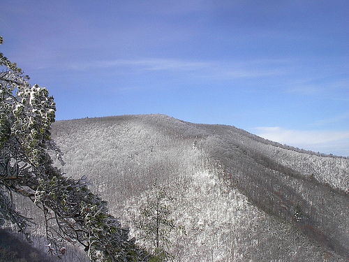 Big Frog Mountain4,219 ft · Tennessee1 route5.8 mi awayPhoto: Kevin Eldon, CC BY 2.0 (via Wikimedia Commons)
- Bearpen Hill2,646 ft · Tennessee1 route6.3 mi away
 Grassy Mountain3,693 ft · Georgia1 route6.6 mi awayPhoto: Thomson200, CC0 (via Wikimedia Commons)
- Hickory RidgeHiking0.3 mi
- Rough RidgeHiking1.4 mi
- Panther CreekHiking1.5 mi
- East CowpenHiking1.8 mi
- Jacks RiverRiver fishing2.1 mi
- Cottonwood Patch CampgroundCamping4.7 mi
- Jacks River Fields CampgroundCamping5.8 mi
- Big Frog AreaRiver fishing8.5 mi
Source: Roamze catalog (indexable pages within 10 miles, PostGIS distance)
- Bald MountainSummit · ~9 min drivePhoto: Thomson M, CC BY 3.0 (via Wikimedia Commons)
- Big Frog MountainSummit · ~10 min drivePhoto: Kevin Eldon, CC BY 2.0 (via Wikimedia Commons)
- Grassy MountainSummit · ~11 min drivePhoto: Thomson200, CC0 (via Wikimedia Commons)
 Talona MountainSummit · ~36 min drivePhoto: Thomson20192, CC0 (via Wikimedia Commons)
 Springer MountainSummit · ~52 min drivePhoto: Mark Larson, CC BY-SA 2.0 (via Wikimedia Commons)
 Sharptop MountainSummit · ~54 min drivePhoto: Thomson M, CC BY 3.0 (via Wikimedia Commons)
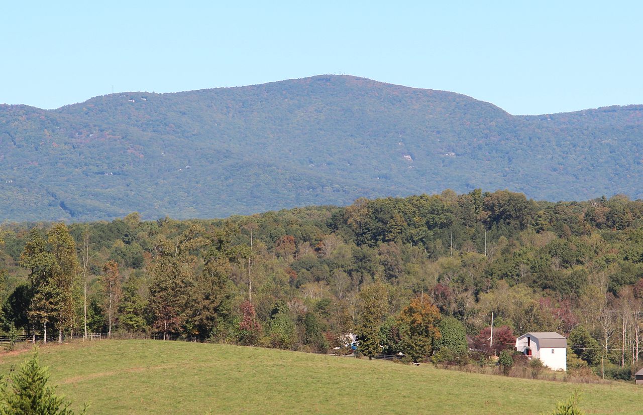 Mount OglethorpeSummit · ~58 min drivePhoto: Thomson200, CC0 (via Wikimedia Commons)
 Sharp MountainSummit · ~58 min drivePhoto: Thomson200, CC0 (via Wikimedia Commons)
 Baugh MountainSummit · ~1h 2m drivePhoto: Thomson200, CC0 (via Wikimedia Commons)
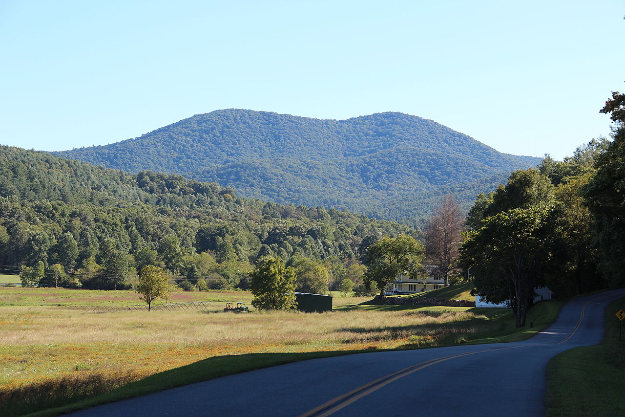 Big John Dick MountainSummit · ~46 min drivePhoto: Thomson200, CC0 (via Wikimedia Commons)


