Wagner Glade
- 4.5 mi
- round trip
- 3,785 ft
- climb
- 6,612 ft
- high point
- Out and back
- route
Is Wagner Glade open right now?
Closure in the area
There's a closure order in Siskiyou Mountains Ranger District. It doesn't name Wagner Glade, so check the source for the area it covers.
Ashland Municipal Watershed Camping and Fire Prohibition
Agency closure covering Siskiyou Mountains Ranger District · Order 06-10-20-23-52 · USFS · Siskiyou Mountains Ranger District
As of · Source: USFS · Siskiyou Mountains Ranger District. Agencies don't list every closure — check before you go.
Wagner Glade is a moderate hike in the Siskiyou Mountains Ranger District of the Rogue River-Siskiyou National Forests in southern Oregon, managed by the Forest Service. The trail is about 4.5 miles long and rises from roughly 4,900 feet to about 6,600 feet, with a total elevation gain of about 3,785 feet over the round trip. The steepest stretch comes early, around 0.86 miles in, with a grade of about 32%. The trail is natural-surfaced and allows both horses and bikes, so it works for riders and pack animals as well as hikers. Horn Gap sits just 0.1 mile away, and the Old Man Trail is about 1.3 miles off. For an overnight stay, Mt Ashland campground is about 3.7 miles away, and the Little Applegate River offers paddling about 4.5 miles from the trail.
Local outfitters
- Ashland Family YMCA7 mi away
- Momentum River Expeditions7 mi away
Not on Roamze yet. Their page has how to reach them.
Keep exploring — more trails worth the drive
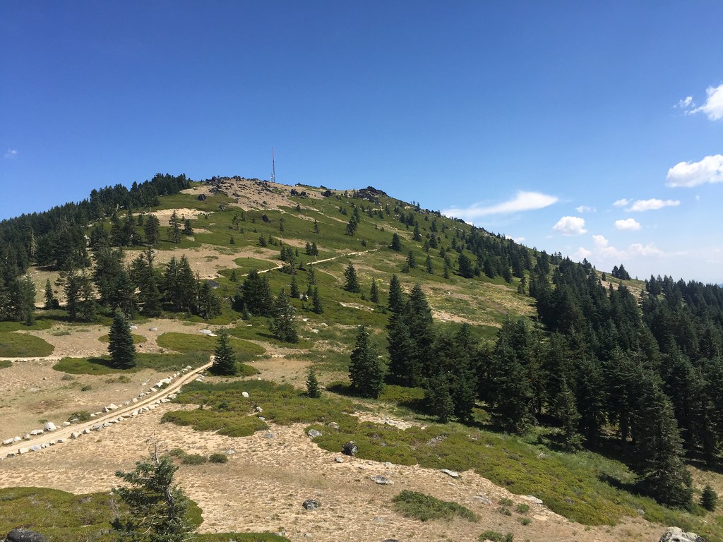 Photo: zappowbang, CC BY-SA 2.0 (via Flickr)
Split Rock
~4 min drive
6.22-mile out-and-back trail in Oregon with 880 ft elevation gain.
 Photo: zappowbang, CC BY-SA 2.0 (via Flickr)
SUMMIT NORDIC
~5 min drive
2.76-mile out-and-back trail in Oregon with 1,173 ft elevation gain/loss
 Photo: kallahar, CC BY 3.0 (via Wikimedia Commons)
Ostrich Peak Trail
~8 min drive
1.14-mile out-and-back hike in Oregon with 460 ft elevation gain.
HIKE
Pacific Crest National Scenic Trail
~5 min drive
21.12-mile out-and-back on the Pacific Crest National Scenic Trail in Oregon with 4,397 ft gain/loss.
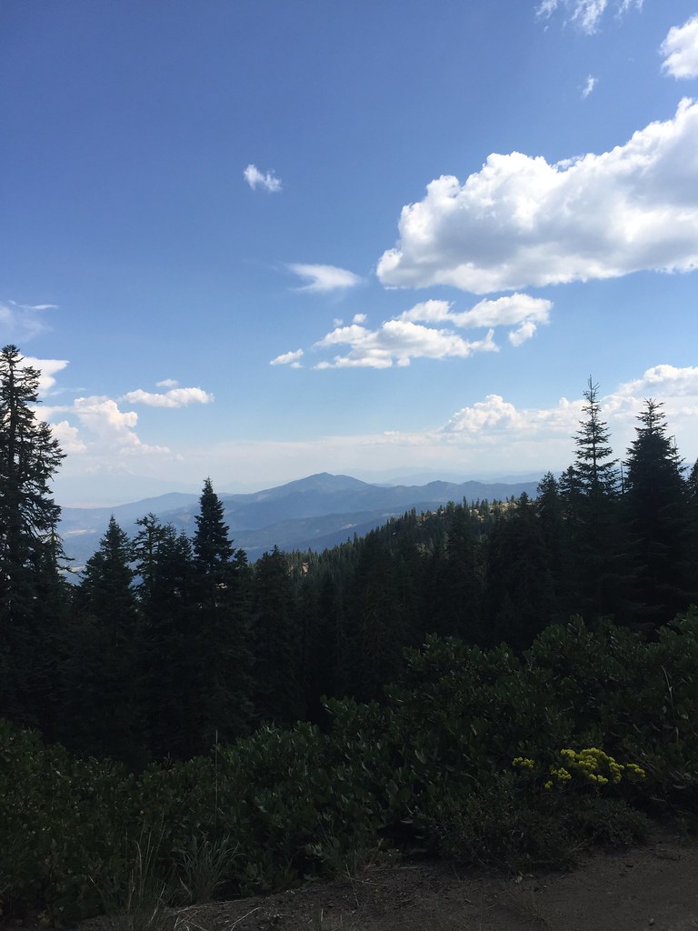 Photo: zappowbang, CC BY-SA 2.0 (via Flickr)
GROUSE CREEK NORDIC
~6 min drive
8.66-mile out-and-back trail in Oregon with 2,866 ft elevation gain/loss
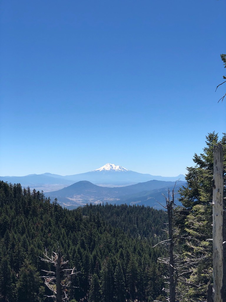 Photo: zappowbang, CC BY-SA 2.0 (via Flickr)
Summit
~7 min drive
1.68-mile out-and-back trail in Oregon with 1,185 ft gain
 Photo: kallahar, CC BY 3.0 (via Wikimedia Commons)
Marty's
~8 min drive
1.52-mile out-and-back trail in Oregon with 375 ft elevation gain.
HIKE
Horn Gap
Next door
14.40-mile out-and-back trail in Oregon with 2,042 ft gain.
Photo: zappowbang, CC BY-SA 2.0 (via Flickr)CREST LOOP NORDIC
~8 min drive
4.32-mile out-and-back trail in Oregon with 1,166 ft elevation gain
Photo: kallahar, CC BY 3.0 (via Wikimedia Commons)Marty's Tie
~8 min drive
0.38-mile out-and-back trail in Oregon with 27 ft gain and 400 ft loss.


