Pacific Crest National Scenic Trail
- 10.6 mi
- round trip
- 4,397 ft
- climb
- 7,045 ft
- high point
- Out and back
- route
Is Pacific Crest National Scenic Trail open right now?
Alert in the area
The Forest Service lists 2 alerts for Klamath National Forest.
Temporarily closure of approximately 3.5 miles of National Forest System Roads 47N01
Agency alert covering Klamath National Forest · Order 05-05-00-26-08 · USFS · Klamath National Forest
Grayback Road Repairs
Agency alert covering Klamath National Forest · USFS · Klamath National Forest
As of · Source: USFS · Klamath National Forest. Agencies don't list every closure — check before you go.
The Pacific Crest National Scenic Trail section on the Klamath National Forest in southern Oregon is a 21-mile out-and-back route in the Oak Knoll Ranger District. The trip is rated expert, with a one-way climb of about 2,160 feet and a total round-trip gain of 4,397 feet. The high point reaches 7,045 feet, and the steepest stretch of about 19% grade comes roughly 2.8 miles from the start. The trail is managed by the Forest Service and begins at a low of about 5,825 feet. It is a steady climb through the district, and with an estimated time of nine hours, plan on a full day on foot. Close by, the Split Rock hike is less than a mile away, and the Summit Nordic cross-country ski area is about 1.9 miles off. For an overnight stay, Mt Ashland Campground lies about 2.5 miles away, and the climbing at Mt. Ashland's Dream Boulder is a little farther.
Local outfitters
- Ashland Family YMCA9 mi away
- Momentum River Expeditions9 mi away
Not on Roamze yet. Their page has how to reach them.
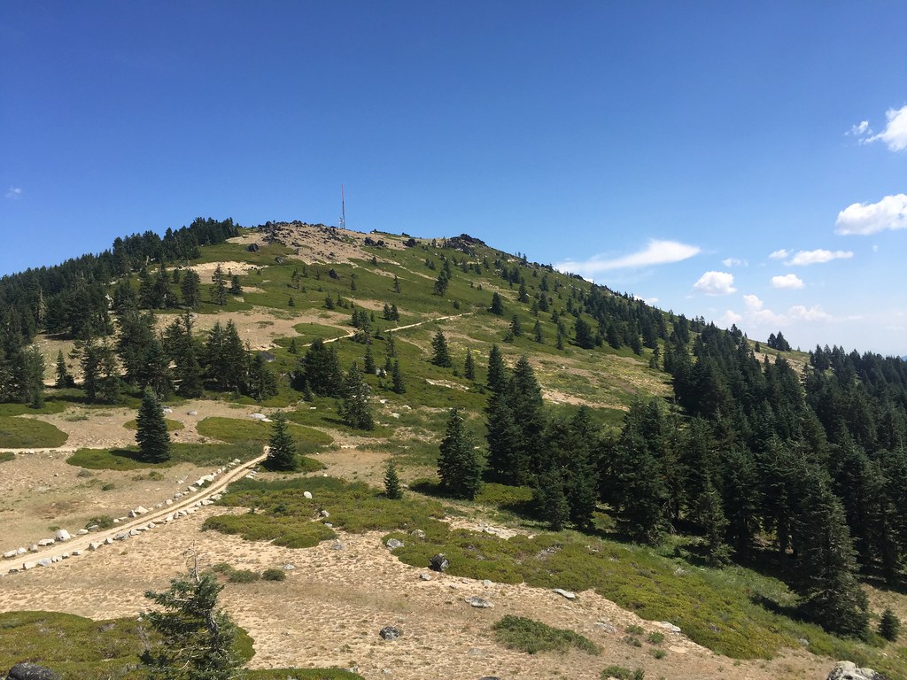 Split RockHikingPhoto: zappowbang, CC BY-SA 2.0 (via Flickr)0.8 mi
- Summit NordicCross-country skiing1.9 mi
- Mt AshlandCamping2.5 mi
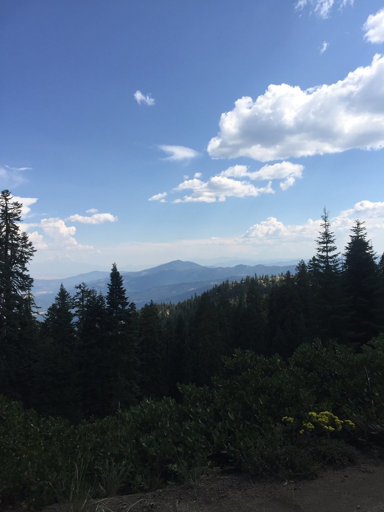 GROUSE CREEK NORDICHikingPhoto: zappowbang, CC BY-SA 2.0 (via Flickr)2.5 mi
 Mt. Ashland's Dream BoulderRock climbingPhoto: james shaw, CC BY-SA 3.0 (via Wikimedia Commons)2.6 mi
- Cow CreekCanoeing4.7 mi
- Wrangle CampgroundCamping5.1 mi
- Little Applegate RiverCanoeing6.4 mi
Source: Roamze catalog (indexable pages within 10 miles, PostGIS distance)
- Split RockHiking · ~1 min drivePhoto: zappowbang, CC BY-SA 2.0 (via Flickr)
 SUMMIT NORDICHiking · ~3 min drivePhoto: zappowbang, CC BY-SA 2.0 (via Flickr)
 Marty'sHiking · ~11 min drivePhoto: kallahar, CC BY 3.0 (via Wikimedia Commons)
- GROUSE CREEK NORDICHiking · ~4 min drivePhoto: zappowbang, CC BY-SA 2.0 (via Flickr)
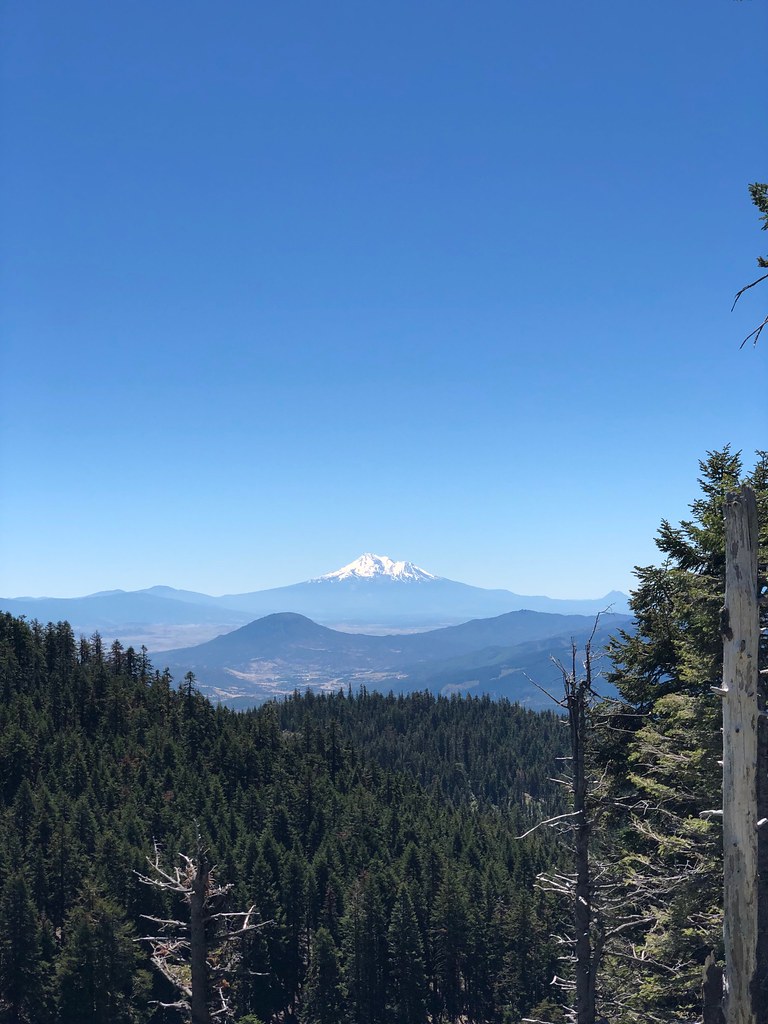 SummitHiking · ~5 min drivePhoto: zappowbang, CC BY-SA 2.0 (via Flickr)
- Marty's TieHiking · ~11 min drivePhoto: kallahar, CC BY 3.0 (via Wikimedia Commons)
- Horn GapHiking · ~5 min drive
- CREST LOOP NORDICHiking · ~6 min drivePhoto: zappowbang, CC BY-SA 2.0 (via Flickr)
 GyreHiking · ~12 min drivePhoto: U.S. Forest Service- Pacific Northwest Region, Public domain (via Wikimedia Commons)
- Wagner ButteHiking · ~7 min drive

Map and trail data © OpenStreetMap contributors
