Split Rock
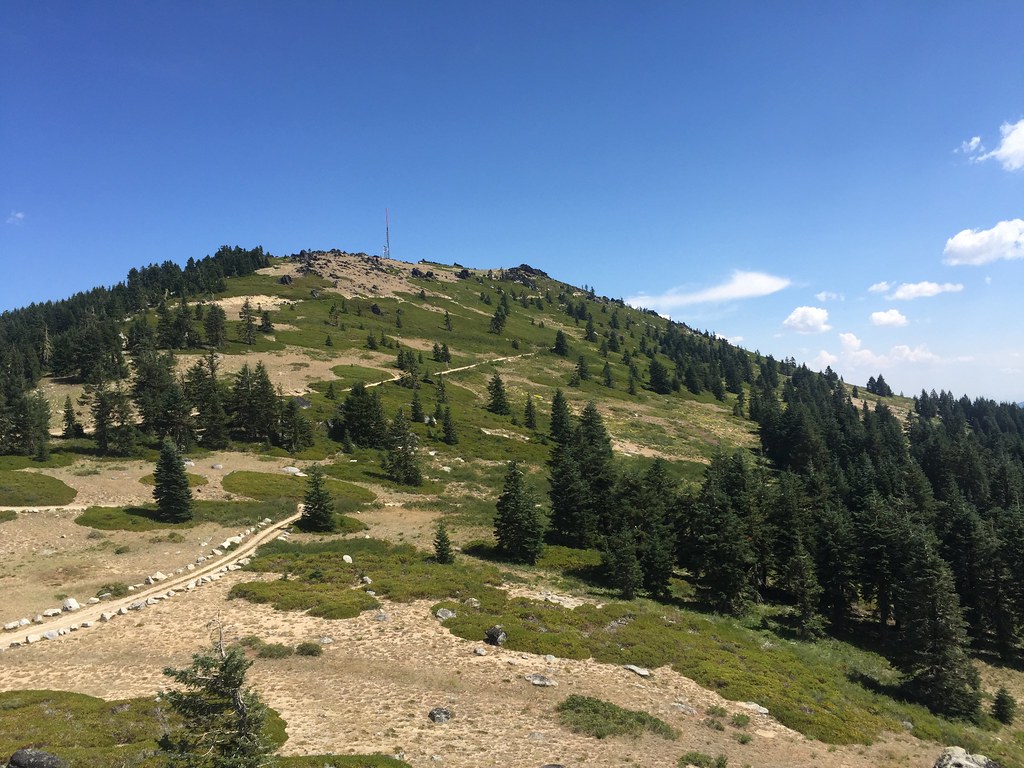 Photo: zappowbang, CC BY-SA 2.0 (via Flickr)
- 6.2 mi
- round trip
- 2,262 ft
- climb
- 7,213 ft
- high point
- Out and back
- route
Split Rock is a hard out-and-back hike of about 6 miles in the Oak Knoll Ranger District of Klamath National Forest in southern Oregon. The trail climbs steadily from a starting point of about 7,000 feet to a high point of 7,213 feet, with a total elevation gain of about 2,260 feet. The steepest section comes at about 1.4 miles in, with a grade of roughly 28 percent. The route is open from June 1 through October 31, and the trip is estimated to take about three hours. The trail is natural-surfaced and allows horses and bikes, so it works for riders and pack animals. The Pacific Crest National Scenic Trail passes about 0.8 miles away, and Summit Nordic offers cross-country skiing about 1.2 miles off. Mt. Ashland campground and Mt. Ashland's Dream Boulder are both about 1.8 miles away.
Local outfitters
- Ashland Family YMCA9 mi away
- Momentum River Expeditions9 mi away
Not on Roamze yet. Their page has how to reach them.
Keep exploring — more trails worth the drive
 Photo: zappowbang, CC BY-SA 2.0 (via Flickr)
SUMMIT NORDIC
~2 min drive
2.76-mile out-and-back trail in Oregon with 1,173 ft elevation gain/loss
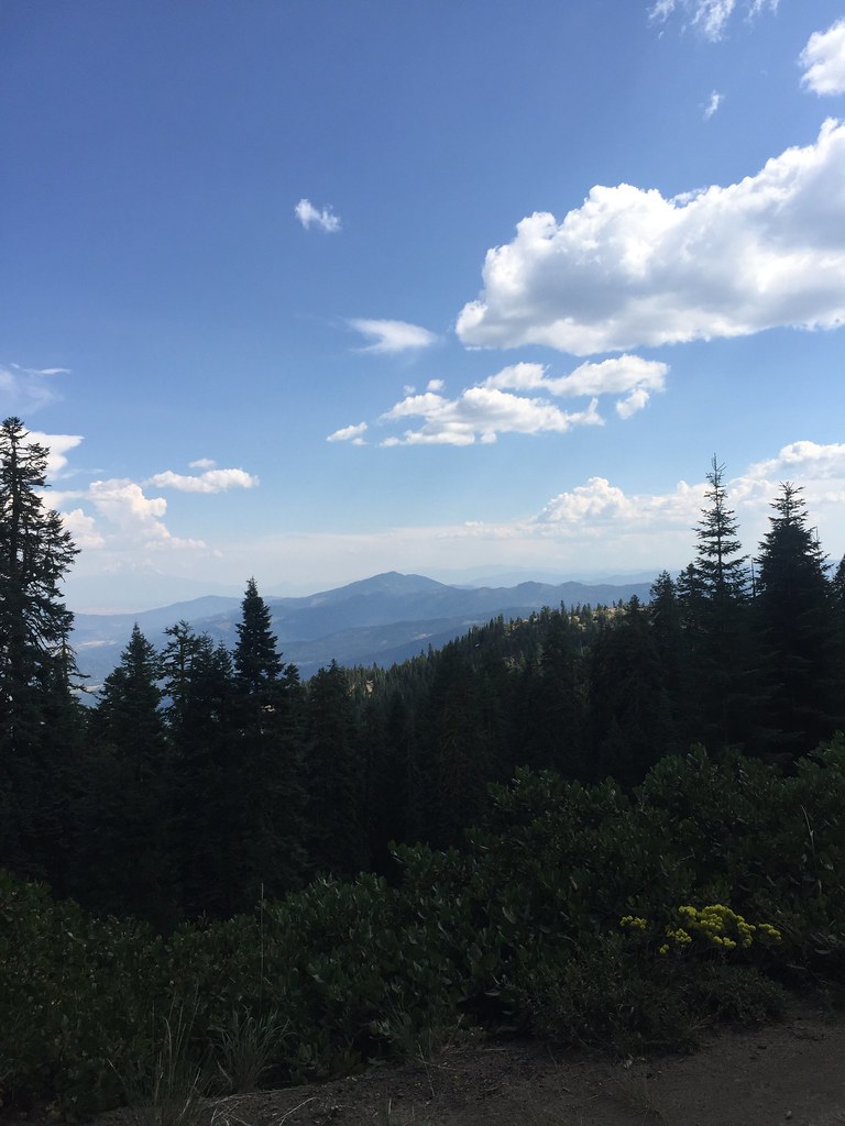 Photo: zappowbang, CC BY-SA 2.0 (via Flickr)
GROUSE CREEK NORDIC
~3 min drive
8.66-mile out-and-back trail in Oregon with 2,866 ft elevation gain/loss
 Photo: kallahar, CC BY 3.0 (via Wikimedia Commons)
Marty's
~10 min drive
1.52-mile out-and-back trail in Oregon with 375 ft elevation gain.
HIKE
Pacific Crest National Scenic Trail
~1 min drive
21.12-mile out-and-back on the Pacific Crest National Scenic Trail in Oregon with 4,397 ft gain/loss.
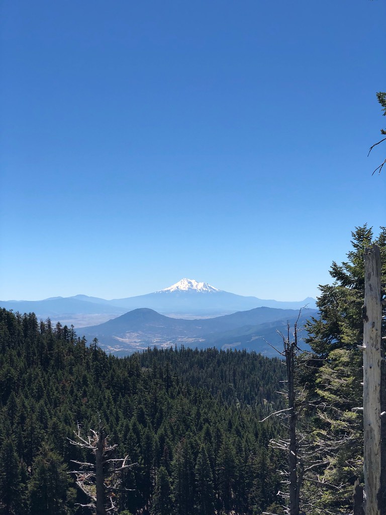 Photo: zappowbang, CC BY-SA 2.0 (via Flickr)
Summit
~4 min drive
1.68-mile out-and-back trail in Oregon with 1,185 ft gain
HIKE
Wagner Butte
~7 min drive
10.40-mile out-and-back to Wagner Butte with 2,779 ft gain in Oregon
Photo: kallahar, CC BY 3.0 (via Wikimedia Commons)Marty's Tie
~10 min drive
0.38-mile out-and-back trail in Oregon with 27 ft gain and 400 ft loss.
Photo: zappowbang, CC BY-SA 2.0 (via Flickr)CREST LOOP NORDIC
~5 min drive
4.32-mile out-and-back trail in Oregon with 1,166 ft elevation gain
HIKE
Seven Mile Ridge
~9 min drive
8.66-mile out-and-back trail on a ridge in Oregon with 2,418 ft gain
 Photo: U.S. Forest Service- Pacific Northwest Region, Public domain (via Wikimedia Commons)
Gyre
~11 min drive
1.74-mile out-and-back trail in Oregon with 415 ft elevation gain.


Route details
- Distance
- 6.2 mi round trip
- Climbing
- About 2,262 ft
- Summit
- 7,223 ft
- Difficulty
- Hard
- Time
- About 2.5 hours
Questions about this route
How long is the Split Rock on McDonald Peak?
About 6.2 mi round trip.
How much elevation gain is on the Split Rock?
About 2,262 ft of climbing round trip.
How hard is the Split Rock?
It is rated hard.
How long does the Split Rock take?
About 2.5 hours round trip.
Conditions and forecast on McDonald Peak
Daily highs and lows, wind and the chance of precipitation at the summit and route start for the next 7 days, from the Open-Meteo model.
