Table Rock Wilderness-Rooster Rock Trail
- 1.1 mi
- round trip
- 2,102 ft
- climb
- 4,190 ft
- high point
- Out and back
- route
Table Rock Wilderness-Rooster Rock Trail is a 2.2-mile out-and-back hike in Oregon's Table Rock Wilderness, managed by the Bureau of Land Management's Nw Oregon Cascades Field Office. The trail rises from about 3,300 feet to a high point of 4,190 feet, with a total elevation gain of 2,102 feet over the round trip. The climb is steepest near the start, with a grade of about 29% at 0.25 miles in. The trail is rated moderate, and the trip takes about two hours. The route is natural surface, and the wilderness boundary makes this a designated backcountry outing. Several other routes lie within a short distance. Table Rock-Summitt Trail and Table Rock Wilderness-Saddle Trail are each about 1.3 miles away. The Molalla River, a canoeing route, is about 1.8 miles off, and Shady Cove Campground is about 7 miles away.
Local outfitters
- Horseback Riding Adventures Oregon23 mi away
- Tree Climbing at Silver Falls25 mi away
Not on Roamze yet. Their page has how to reach them.
- Table Rock-Summitt TrailHiking1.3 mi
- Table Rock Wilderness-Saddle TrailHiking1.3 mi
 Molalla RiverCanoeingPhoto: Bureau of Land Management Oregon and Washington from Portland, America, Public domain (via Wikimedia Commons)1.8 mi
- Image Creek TrailHiking2 mi
- Table Rock ForkCanoeing2.5 mi
- Copper CreekCanoeing3.3 mi
- Shady Cove CgCamping7.2 mi
- Aquila Vista Recreation SiteCamping9 mi
Source: Roamze catalog (indexable pages within 10 miles, PostGIS distance)
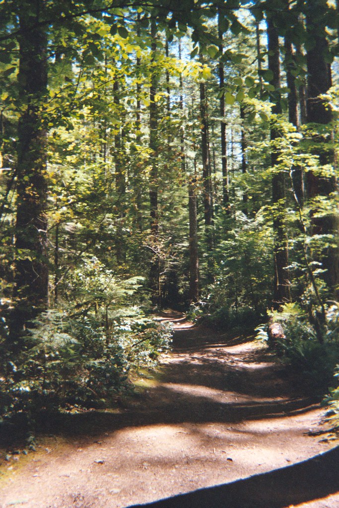 Henline Falls Trail #3348Hiking · ~12 min drivePhoto: Christopher Somes, CC BY 2.0 (via Flickr)
 Ogle MountainHiking · ~12 min drivePhoto: Forest Service Pacific Northwest Region, Public Domain Mark (via Flickr)
 Bagby Trail #544Hiking · ~12 min drivePhoto: mjfmjfmjf, CC BY 2.0 (via Flickr)
 Henline MountainHiking · ~12 min drivePhoto: Forest Service Pacific Northwest Region, Public Domain Mark (via Flickr)
- Henline FallsHiking · ~12 min drivePhoto: Christopher Somes, CC BY 2.0 (via Flickr)
- Little North SantiamHiking · ~14 min drivePhoto: Forest Service Pacific Northwest Region, Public Domain Mark (via Flickr)
- Table Rock Wilderness-High Ridge TrailHiking · ~8 min drive
 Kopetski TrailHiking · ~14 min drivePhoto: U.S. Forest Service- Pacific Northwest Region, Public domain (via Wikimedia Commons)
 WhetstoneHiking · ~13 min drivePhoto: U.S. Forest Service- Pacific Northwest Region, Public domain (via Wikimedia Commons)
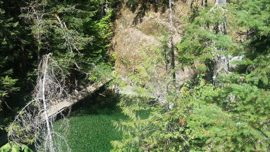 Nasty Rock Trail #3356Hiking · ~11 min drivePhoto: mjfmjfmjf, CC BY 2.0 (via Flickr)
