Oregon · Summit
Table Rock
- 4,889 ft
- summit
- 1
- way up
Loading this week's forecast
Table Rock is a summit in Oregon. It is reached by the Table Rock-Summitt Trail, a public trail passing within 150 m of the summit.
Conditions and forecast
Daily highs and lows, wind and the chance of precipitation at the summit and route start for the next 7 days, from the Open-Meteo model.
- Summit elevation
- 4,889 ft
Elevation from USGS 3D Elevation Program terrain data (about 10 m resolution).
Map © Mapbox © OpenStreetMap contributors Questions about Table Rock
How tall is Table Rock?
4,889 ft (1,490 m).
How many routes go to the summit of Table Rock?
One: Table Rock-Summitt Trail.
- Baty Butte5,060 ft · Oregon2 routes5.7 mi away
- Thunder Mountain5,177 ft · Oregon2 routes7.2 mi away
- South Fork Mountain4,857 ft · Oregon1 route9.0 mi away
- Fish Creek Mountain5,092 ft · Oregon1 route12 mi away
- Bull of the Woods5,543 ft · Oregon1 route12 mi away
- Big Slide Mountain5,527 ft · Oregon1 route13 mi away
- Table Rock Wilderness-Saddle TrailHiking0.2 mi
- Table Rock-Summitt TrailHiking0.2 mi
- Image Creek TrailHiking0.4 mi
- Table Rock ForkCanoeing1 mi
 Molalla RiverCanoeingPhoto: Bureau of Land Management Oregon and Washington from Portland, America, Public domain (via Wikimedia Commons)3.4 mi
- Lost CreekCanoeing4 mi
- Shady Cove CgCamping8.7 mi
- Aquila Vista Recreation SiteCamping9 mi
Source: Roamze catalog (indexable pages within 10 miles, PostGIS distance)
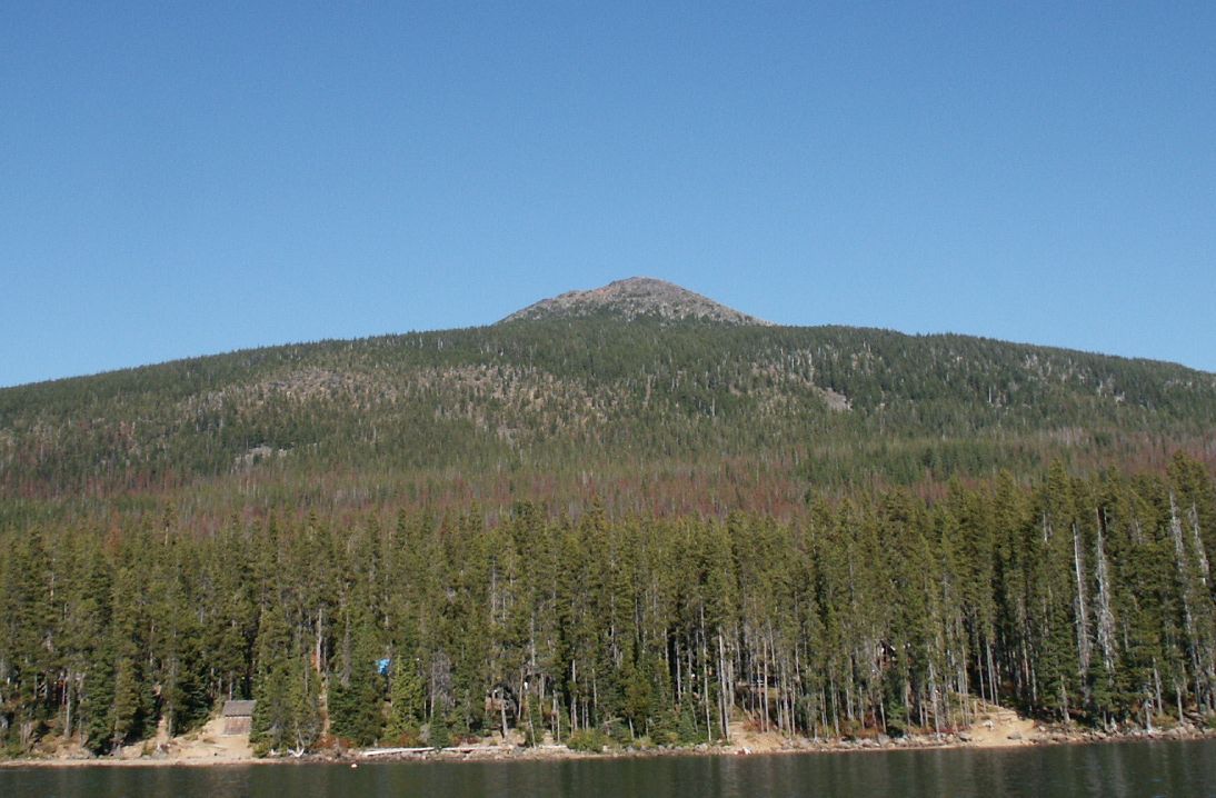 Olallie ButteSummit · ~49 min drivePhoto: M.O. Stevens at en.wikipedia, Public domain (via Wikimedia Commons)
- Baty ButteSummit · ~10 min drive
- Thunder MountainSummit · ~12 min drive
- Whetstone MountainSummit · ~15 min drive
- South Fork MountainSummit · ~15 min drive
- Fish Creek MountainSummit · ~20 min drive
- Bull of the WoodsSummit · ~21 min drive
- Big Slide MountainSummit · ~22 min drive
- Battle AxSummit · ~22 min drive
- Boulder PeakSummit · ~24 min drive
Also worth it near here
- Molalla RiverCanoeing · ~6 min drivePhoto: Bureau of Land Management Oregon and Washington from Portland, America, Public domain (via Wikimedia Commons)
 Bagby Trail #544Hiking · ~12 min drivePhoto: mjfmjfmjf, CC BY 2.0 (via Flickr)
- Bagby BathhouseHot spring · ~12 min drive
 Henline FallsWaterfall · ~15 min drivePhoto: Thehike675, CC BY-SA 4.0 (via Wikimedia Commons)
