Image Creek Trail
- 5.0 mi
- round trip
- 4,376 ft
- climb
- 4,136 ft
- high point
- Out and back
- route
Image Creek Trail is a hard hike in Oregon's Table Rock Wilderness, managed by the Bureau of Land Management's Nw Oregon Cascades Field Office. The trail is an out-and-back route of about 10 miles, with a total climb of roughly 4,376 feet. The one-way gain is 1,775 feet, and the high point reaches about 4,136 feet. The trail starts at an elevation of about 3,929 feet and climbs steadily, with the steepest stretch around 4.6 miles in at a grade of about 30%. The route is long and steep, so plan for a full day on foot. The Table Rock-Table Rock Trail begins just 0.1 mile away, and the Table Rock Wilderness-Saddle Trail and Table Rock-Summitt Trail are each about 0.6 mile off. Paddlers can reach the Table Rock Fork, about 0.8 mile away.
Local outfitters
- Horseback Riding Adventures Oregon21 mi away
- Tree Climbing at Silver Falls26 mi away
Not on Roamze yet. Their page has how to reach them.
Keep exploring — more trails worth the drive
 Photo: mjfmjfmjf, CC BY 2.0 (via Flickr)
Bagby Trail #544
~12 min drive
10.68-mile out-and-back trail in Oregon with 3,373 ft elevation gain.
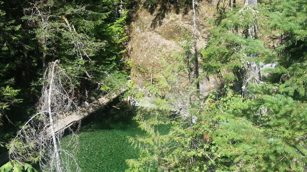 Photo: mjfmjfmjf, CC BY 2.0 (via Flickr)
Nasty Rock Trail #3356
~14 min drive
5.64-mile out-and-back hike in Oregon with 3,350 ft elevation gain and loss.
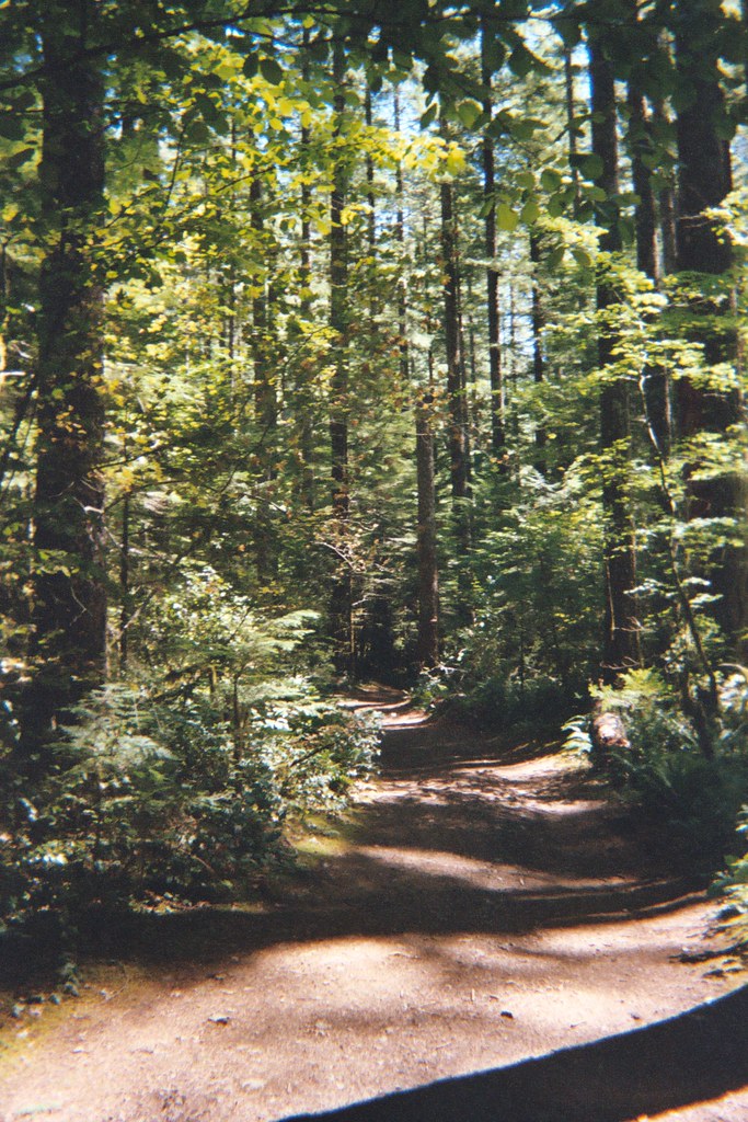 Photo: Christopher Somes, CC BY 2.0 (via Flickr)
Henline Falls Trail #3348
~15 min drive
1.7-mile out-and-back trail to Henline Falls with 714 ft gain in Oregon
 Photo: Forest Service Pacific Northwest Region, Public Domain Mark (via Flickr)
Henline Mountain
~16 min drive
5.12-mile out-and-back trail in Oregon with 2,830 ft elevation gain.
HIKE
Table Rock Wilderness-High Ridge Trail
~9 min drive
Scenic ridgeline out-and-back with expansive views in Table Rock Wilderness.
 Photo: Forest Service Pacific Northwest Region, Public Domain Mark (via Flickr)
Ogle Mountain
~15 min drive
2.80-mile out-and-back trail to Ogle Mountain summit in Oregon with 1,910 ft gain
Photo: Christopher Somes, CC BY 2.0 (via Flickr)Henline Falls
~15 min drive
0.20-mile lollipop trail to Henline Falls in Oregon with 123 ft gain.
 Photo: Bonnie Moreland (free images), Public Domain Mark (via Flickr)
Molalla-Huckleberry Trail
~16 min drive
3.36-mile out-and-back hike in Oregon with 1,102 ft of elevation gain.
Photo: Forest Service Pacific Northwest Region, Public Domain Mark (via Flickr)Little North Santiam
~17 min drive
8.80-mile out-and-back trail in Oregon with 1,959 ft elevation gain.
Photo: Bonnie Moreland (free images), Public Domain Mark (via Flickr)Molalla-Yellow Gate Road Trail
~16 min drive
0.36-mile out-and-back trail in Oregon with 71 ft gain.

Map and trail data © OpenStreetMap contributors
