Table Rock Wilderness-Saddle Trail
- 1.4 mi
- round trip
- 1,282 ft
- climb
- 4,624 ft
- high point
- Out and back
- route
Table Rock Wilderness-Saddle Trail is a 2.9-mile out-and-back hike in Oregon's Table Rock Wilderness, managed by the Bureau of Land Management's Nw Oregon Cascades Field Office. The trail sits at about 4,580 feet and climbs to 4,624 feet, with a total round-trip gain of 1,282 feet. The steepest stretch comes around mile 1.1, where the grade reaches 32%. The trail is listed as moderate, and the climb works out to about 1.5 hours round trip. The Saddle Trail makes an easy add-on to other outings in the area, with the Table Rock-Summitt Trail starting just 0.1 mile away and the Table Rock-Table Rock Trail about 0.7 mile off. Paddlers can head to Table Rock Fork, about 1.2 miles away, or the Molalla River, roughly 3.2 miles off. For an overnight stay, Shady Cove Campground lies about 8.5 miles away.
Local outfitters
- Horseback Riding Adventures Oregon22 mi away
- Tree Climbing at Silver Falls25 mi away
Not on Roamze yet. Their page has how to reach them.
- Table Rock-Summitt TrailHiking0.1 mi
- Image Creek TrailHiking0.6 mi
- Table Rock-Table Rock TrailHiking0.7 mi
- Table Rock ForkCanoeing1.2 mi
 Molalla RiverCanoeingPhoto: Bureau of Land Management Oregon and Washington from Portland, America, Public domain (via Wikimedia Commons)3.2 mi
- Lost CreekCanoeing4.1 mi
- Shady Cove CgCamping8.5 mi
- Aquila Vista Recreation SiteCamping9 mi
Source: Roamze catalog (indexable pages within 10 miles, PostGIS distance)
 Bagby Trail #544Hiking · ~12 min drivePhoto: mjfmjfmjf, CC BY 2.0 (via Flickr)
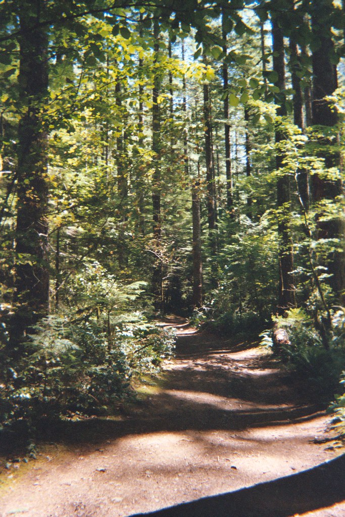 Henline Falls Trail #3348Hiking · ~14 min drivePhoto: Christopher Somes, CC BY 2.0 (via Flickr)
 Ogle MountainHiking · ~14 min drivePhoto: Forest Service Pacific Northwest Region, Public Domain Mark (via Flickr)
 Henline MountainHiking · ~15 min drivePhoto: Forest Service Pacific Northwest Region, Public Domain Mark (via Flickr)
- Table Rock Wilderness-High Ridge TrailHiking · ~8 min drive
- Henline FallsHiking · ~14 min drivePhoto: Christopher Somes, CC BY 2.0 (via Flickr)
- Little North SantiamHiking · ~16 min drivePhoto: Forest Service Pacific Northwest Region, Public Domain Mark (via Flickr)
 Kopetski TrailHiking · ~16 min drivePhoto: U.S. Forest Service- Pacific Northwest Region, Public domain (via Wikimedia Commons)
 WhetstoneHiking · ~15 min drivePhoto: U.S. Forest Service- Pacific Northwest Region, Public domain (via Wikimedia Commons)
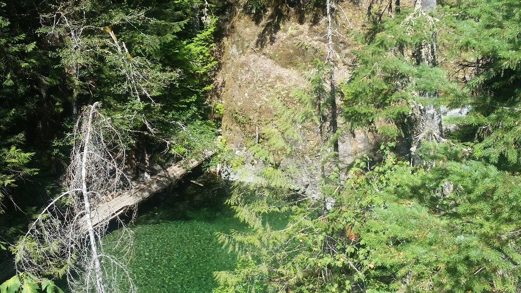 Nasty Rock Trail #3356Hiking · ~13 min drivePhoto: mjfmjfmjf, CC BY 2.0 (via Flickr)
