Nasty Rock Trail #3356
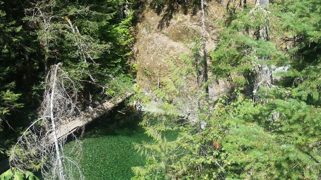 Photo: mjfmjfmjf, CC BY 2.0 (via Flickr)
- 2.8 mi
- round trip
- 3,350 ft
- climb
- 4,525 ft
- high point
- Out and back
- route
Caution at last check
Agency alerts are in effect for this area; weather is good · USFS, OpenWeather · checked 21 h ago
Is Nasty Rock Trail #3356 open right now?
Closure in the area
There's a closure order in Detroit Ranger District. It doesn't name Nasty Rock Trail #3356, so check the source for the area it covers (3 listed).
Beachie Creek and Lionshead Fires Closure
Agency closure covering Detroit Ranger District · Order 06-18-04-26-14 · USFS · Detroit Ranger District
Beachie Creek and Lionshead Fires Closure
Agency closure covering Detroit Ranger District · Order 06-18-04-26-14 · USFS · Detroit Ranger District
Cedar Creek Fire Closure
Agency closure covering Willamette National Forest · Order 06-18-10-26-04 · USFS · Willamette National Forest
FIRE CLOSURES: Current wildfire closures on the Willamette National Forest
Agency alert covering Willamette National Forest · USFS · Willamette National Forest
As of · Source: USFS · Detroit Ranger District. Agencies don't list every closure — check before you go.
Nasty Rock Trail #3356 is a hard hike in the Detroit Ranger District of Oregon's Willamette National Forest, managed by the Forest Service. The trail is about 2.8 miles long and rises from 1,975 feet to 4,525 feet, with a total climb of about 3,350 feet over the round trip. The route is out and back, and the steepest stretch comes at about 1.2 miles in, where the grade reaches 46 percent. The trail is front-loaded, so the hardest climbing happens early. That makes it a demanding day for anyone planning to reach the high point and return the same way. Shady Cove Campground and Gold Creek, a canoeing spot, are both within about 1.6 miles. Henline Mountain and Henline Falls are hikes about 2 to 2.6 miles away.
Local outfitters
- Tree Climbing at Silver Falls26 mi away
- Horseback Riding Adventures Oregon30 mi away
Not on Roamze yet. Their page has how to reach them.
- Gold CreekCanoeing1.5 mi
- Shady Cove CgCamping1.6 mi
 Henline MountainHikingPhoto: Forest Service Pacific Northwest Region, Public Domain Mark (via Flickr)2 mi
 Kopetski TrailHikingPhoto: U.S. Forest Service- Pacific Northwest Region, Public domain (via Wikimedia Commons)2.5 mi
- Cedar CreekCanoeing2.5 mi
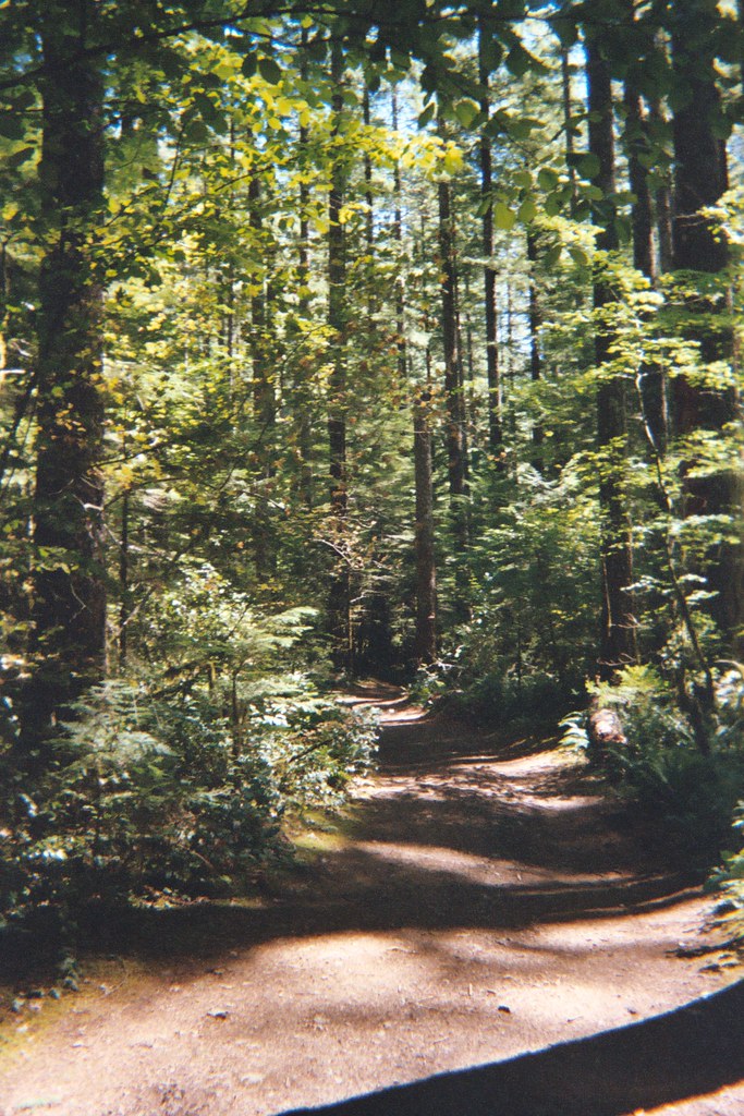 Henline FallsHikingPhoto: Christopher Somes, CC BY 2.0 (via Flickr)2.6 mi
- Henry CreekCanoeing3.1 mi
- Elk Lake CampgroundCamping7.7 mi
Source: Roamze catalog (indexable pages within 10 miles, PostGIS distance)
- Henline MountainHiking · ~3 min drivePhoto: Forest Service Pacific Northwest Region, Public Domain Mark (via Flickr)
- Henline FallsHiking · ~4 min drivePhoto: Christopher Somes, CC BY 2.0 (via Flickr)
 Ogle MountainHiking · ~5 min drivePhoto: Forest Service Pacific Northwest Region, Public Domain Mark (via Flickr)
 Elkhorn Ridge Trail #3347Hiking · ~10 min drivePhoto: Jason McHuff, CC BY-SA 2.0 (via Flickr)
- Kopetski TrailHiking · ~4 min drivePhoto: U.S. Forest Service- Pacific Northwest Region, Public domain (via Wikimedia Commons)
- Henline Falls Trail #3348Hiking · ~4 min drivePhoto: Christopher Somes, CC BY 2.0 (via Flickr)
- Little North SantiamHiking · ~7 min drivePhoto: Forest Service Pacific Northwest Region, Public Domain Mark (via Flickr)
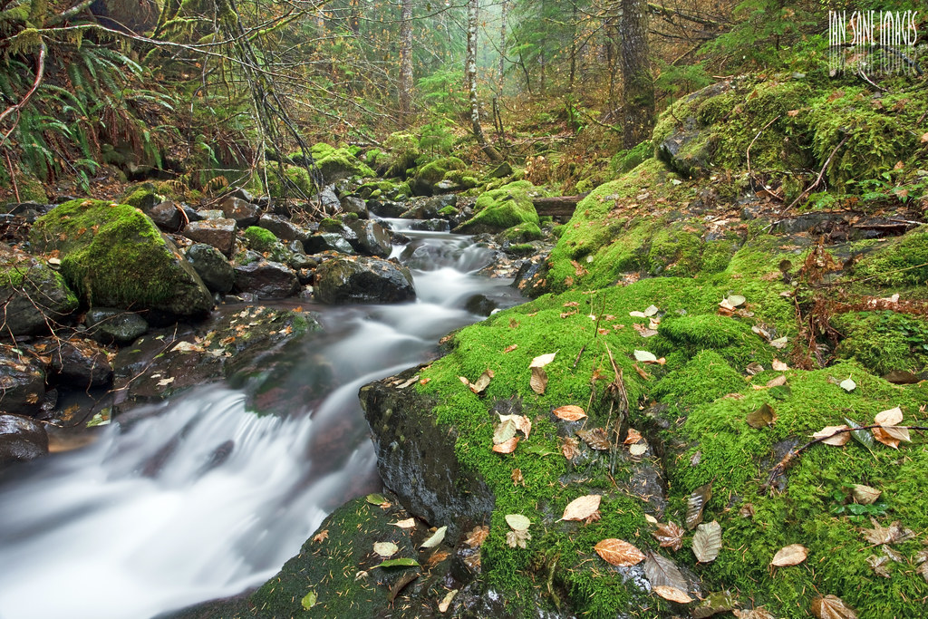 French Creek Trail #3349Hiking · ~11 min drivePhoto: Ian Sane, CC BY 2.0 (via Flickr)
- French Creek RidgeHiking · ~10 min drivePhoto: Jason McHuff, CC BY-SA 2.0 (via Flickr)
 WhetstoneHiking · ~6 min drivePhoto: U.S. Forest Service- Pacific Northwest Region, Public domain (via Wikimedia Commons)

Map and trail data © OpenStreetMap contributors
