Kopetski Trail
 Photo: U.S. Forest Service- Pacific Northwest Region, Public domain (via Wikimedia Commons)
- 1.4 mi
- round trip
- 1,048 ft
- climb
- 2,124 ft
- high point
- Out and back
- route
- Jun–Sep
- best months
Is Kopetski Trail open right now?
Closure in the area
There's a closure order in Detroit Ranger District. It doesn't name Kopetski Trail, so check the source for the area it covers (2 listed).
Beachie Creek and Lionshead Fires Closure
Agency closure covering Detroit Ranger District · Order 06-18-04-26-14 · USFS · Detroit Ranger District
Cedar Creek Fire Closure
Agency closure covering Willamette National Forest · Order 06-18-10-26-04 · USFS · Willamette National Forest
FIRE CLOSURES: Current wildfire closures on the Willamette National Forest
Agency alert covering Willamette National Forest · USFS · Willamette National Forest
As of · Source: USFS · Detroit Ranger District. Agencies don't list every closure — check before you go.
Kopetski Trail is a moderate hike of about 2.8 miles, with an out-and-back route and a one-way climb of about 170 feet, in the Detroit Ranger District of Willamette National Forest in Oregon. The Forest Service manages the land, and the nearest town is Detroit. Summer is the most comfortable time to go. Typical averages from the nearby Detroit Dam weather station run to highs around 80°F in July and August, with only four or five wet days a month. That station sits well below the trail, so expect temperatures on the trail to run cooler. Opal Creek Trail is about a mile away, and the Little North Santiam River offers canoeing at a similar distance. Shady Cove Campground and Elk Lake Campground are within a few miles for an overnight stay.
Local outfitters
- Tree Climbing at Silver Falls28 mi away
- Horseback Riding Adventures Oregon31 mi away
Not on Roamze yet. Their page has how to reach them.
Best time to go · Jun–Sep
Best time to visit Kopetski Trail
Best months: June–September. Best months have typical highs of 55–85 °F, lows of 30 °F or warmer (32 °F where the station doesn't record snow), at most one snowy day and no more than 12 wet days.
Jan
43° / 36°
20 wet · 2 snow
Feb
47° / 37°
18 wet · 1 snow
Mar
52° / 38°
21 wet · 1 snow
Apr
57° / 41°
20 wet
May
65° / 46°
16 wet
Jun
71° / 51°
11 wet
Jul
80° / 56°
5 wet
Aug
81° / 56°
4 wet
Sep
74° / 53°
8 wet
Oct
61° / 46°
14 wet
Nov
49° / 40°
19 wet
Dec
43° / 37°
21 wet · 1 snow
Typical high / low (°F) and days with rain or snow, 1991–2020. Measured at Detroit Dam, OR, 8.8 mi away at 1,220 ft. The station sits about 900 ft lower than this place, so expect it a little cooler here. Source: NOAA NCEI U.S. Climate Normals 1991–2020.
Keep exploring — more trails worth the drive
 Photo: mjfmjfmjf, CC BY 2.0 (via Flickr)
Opal Creek Trail
~2 min drive
1.25-mile out-and-back trail in Oregon with 715 ft of elevation gain.
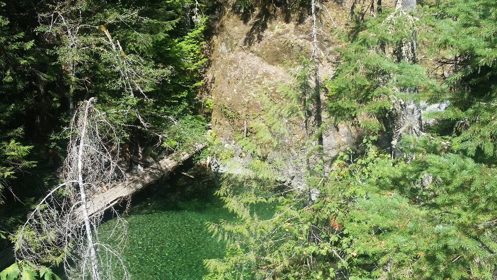 Photo: mjfmjfmjf, CC BY 2.0 (via Flickr)
Nasty Rock Trail #3356
~4 min drive
5.64-mile out-and-back hike in Oregon with 3,350 ft elevation gain and loss.
 Photo: Forest Service Pacific Northwest Region, Public Domain Mark (via Flickr)
Henline Mountain
~7 min drive
5.12-mile out-and-back trail in Oregon with 2,830 ft elevation gain.
 Photo: Jason McHuff, CC BY-SA 2.0 (via Flickr)
Elkhorn Ridge Trail #3347
~8 min drive
5.37-mile out-and-back hike on Elkhorn Ridge in Oregon with 2,500 ft gain
 Photo: U.S. Forest Service- Pacific Northwest Region, Public domain (via Wikimedia Commons)
Kopetski
~2 min drive
2.68-mile out-and-back trail in Oregon with 713 ft elevation gain
 Photo: Forest Service Pacific Northwest Region, Public Domain Mark (via Flickr)
Little North Santiam
~11 min drive
8.80-mile out-and-back trail in Oregon with 1,959 ft elevation gain.
Photo: Jason McHuff, CC BY-SA 2.0 (via Flickr)French Creek Ridge
~8 min drive
4-mile out-and-back trail on French Creek Ridge in Oregon with 1,328 ft gain.
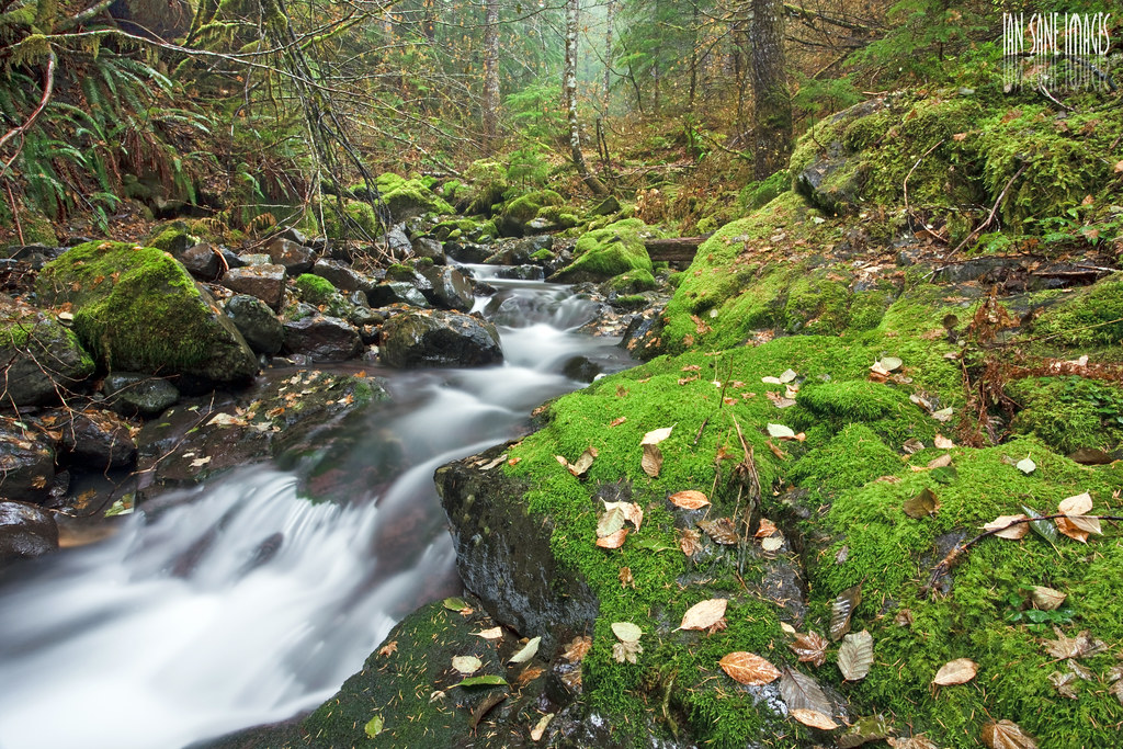 Photo: Ian Sane, CC BY 2.0 (via Flickr)
French Creek Trail #3349
~8 min drive
10.7-mile out-and-back trail in Oregon with 5,152 ft elevation gain and loss.
Photo: U.S. Forest Service- Pacific Northwest Region, Public domain (via Wikimedia Commons)Battle Axe Creek
~4 min drive
1.40-mile out-and-back trail at Battle Axe Creek in Oregon with 304 ft gain.
Photo: Forest Service Pacific Northwest Region, Public Domain Mark (via Flickr)Ogle Mountain
~9 min drive
2.80-mile out-and-back trail to Ogle Mountain summit in Oregon with 1,910 ft gain

Map and trail data © OpenStreetMap contributors
