Still Creek Elevated Campsite
Campground
Campground · 1.6 mi from the trail
 Photo: mjfmjfmjf, CC BY 2.0 (via Flickr)
Alert in the area
The Forest Service lists 5 alerts for Mt. Hood National Forest.
Tamanawas Falls Trail closed due to instability hazards
Agency alert covering Mt. Hood National Forest · USFS · Mt. Hood National Forest
Tamarack Quarry closed beginning Sept. 1
Agency alert covering Zigzag Ranger District · Order 06-06-09-26-12 · USFS · Zigzag Ranger District
Eagle Creek Fire Area Closures
Agency alert covering Mt. Hood National Forest · Order 06-22-01-26-04 · USFS · Mt. Hood National Forest
FR 4613 road damage- use caution
Agency alert covering Mt. Hood National Forest · USFS · Mt. Hood National Forest
Crane Creek bridge closed on the Barlow Road
Agency alert covering Mt. Hood National Forest · USFS · Mt. Hood National Forest
As of · Source: USFS · Mt. Hood National Forest. Agencies don't list every closure — check before you go.
Gnar-Gnar Trail is an easy out-and-back hike in the Zigzag Ranger District of Mt. Hood National Forest in Oregon, managed by the Forest Service. The trail starts at about 4,219 feet and reaches a high point of about 4,219 feet, which means the climb is back-loaded. The one-way elevation gain is 108 feet, and the total round-trip gain is about 775 feet. The steepest stretch comes at about 0.3 miles, with a grade of about 15%. Summer is the most comfortable time to go. Typical averages from the nearby Government Camp weather station show July and August highs around 70°F with only about four wet days a month. Winter is cold and wet, with highs in the mid-30s and around 20 wet days a month. The Sunrise Trail and Pro Line Trail both lie about half a mile away. Still Creek campground is about 2 miles off, and the Zigzag River is about 3 miles away for paddling.
Still Creek Elevated Campsite
Campground
Beer Stube
Pub
Places © OpenStreetMap contributors
More in Mount Hood VillagesNot on Roamze yet. Their page has how to reach them.
Sunrise TrailHikingPhoto: mjfmjfmjf, CC BY 2.0 (via Flickr)0.5 mi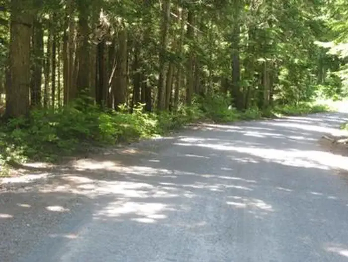 Still CreekCampingPhoto: Recreation.gov (RIDB) / public domain2.1 mi
 Trillium Lake CgCampingPhoto: eugene_o — CC BY 2.0 (via Flickr)2.6 mi
 Zigzag RiverCanoeingPhoto: U.S. Forest Service- Pacific Northwest Region, Public domain (via Wikimedia Commons)3.2 mi
 Salmon RiverCanoeingPhoto: EncMstr, CC BY-SA 3.0 (via Wikimedia Commons)3.6 mi
Source: Roamze catalog (indexable pages within 10 miles, PostGIS distance)
Sunrise TrailHiking · Next doorPhoto: mjfmjfmjf, CC BY 2.0 (via Flickr) Mirror Lake Trail #664Hiking · ~1 min drivePhoto: Oregon's Mt. Hood Territory., Public domain (via Wikimedia Commons)
 Mirror Lake Trail #664Hiking · ~2 min drivePhoto: mjfmjfmjf, CC BY 2.0 (via Flickr)
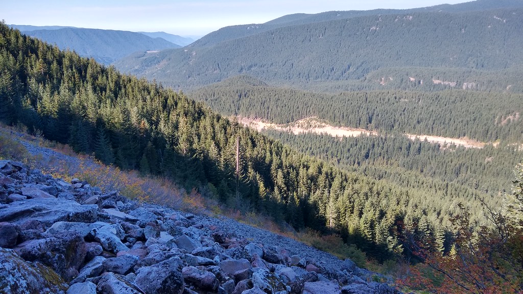 Hidden Lake Trail #779Hiking · ~3 min drivePhoto: mjfmjfmjf, CC BY 2.0 (via Flickr)MIRROR LAKE SNOWSHOEHiking · ~1 min drivePhoto: Oregon's Mt. Hood Territory., Public domain (via Wikimedia Commons)Mirror Lake LoopHiking · ~1 min drivePhoto: Oregon's Mt. Hood Territory., Public domain (via Wikimedia Commons)
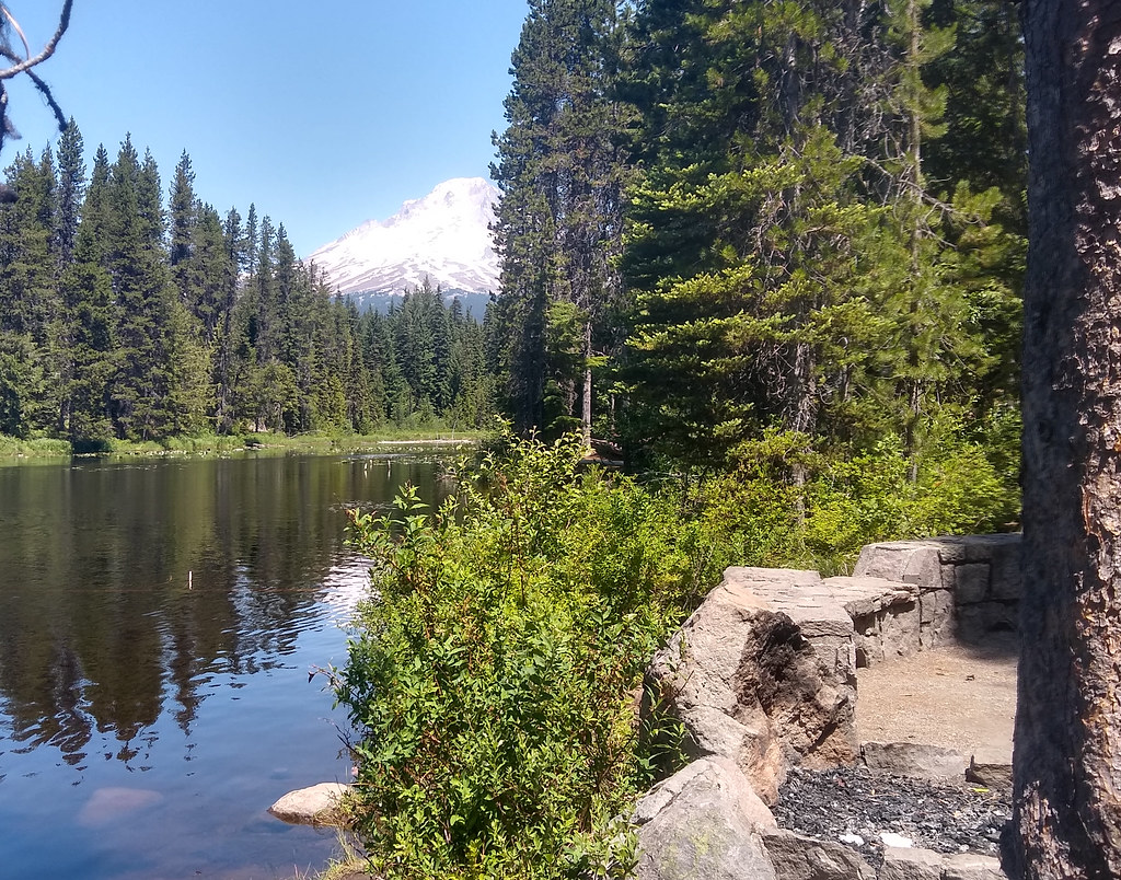 MUD CREEK LOOP NORDICHiking · ~5 min drivePhoto: mjfmjfmjf, CC BY 2.0 (via Flickr)
 Paradise Park Trail #778Hiking · ~6 min drivePhoto: U.S. Forest Service- Pacific Northwest Region, Public domain (via Wikimedia Commons)MIRROR LAKEHiking · ~2 min drivePhoto: mjfmjfmjf, CC BY 2.0 (via Flickr)Little Zigzag FallsHiking · ~3 min drivePhoto: mjfmjfmjf, CC BY 2.0 (via Flickr)
Best months: June–September. Best months have typical highs of 55–85 °F, lows of 30 °F or warmer (32 °F where the station doesn't record snow), at most one snowy day and no more than 12 wet days.
Jan
37° / 26°
20 wet
Feb
38° / 26°
17 wet
Mar
41° / 28°
20 wet
Apr
45° / 31°
18 wet
May
54° / 36°
15 wet
Jun
59° / 41°
10 wet
Jul
69° / 48°
4 wet
Aug
70° / 48°
4 wet
Sep
64° / 45°
8 wet
Oct
53° / 37°
13 wet
Nov
42° / 30°
18 wet
Dec
35° / 26°
21 wet
Typical high / low (°F) and days with rain or snow, 1991–2020. Measured at Government Camp, OR, 1.8 mi away at 3,980 ft. This station doesn't record snowfall. Source: NOAA NCEI U.S. Climate Normals 1991–2020.
Map and trail data © OpenStreetMap contributors
