Burnt Lake campsite #6
Campground
Campground · 2.3 mi from the trail
 Photo: U.S. Forest Service- Pacific Northwest Region, Public domain (via Wikimedia Commons)
Alert in the area
The Forest Service lists 4 alerts for Zigzag Ranger District.
Tamarack Quarry closed beginning Sept. 1
Agency alert covering Zigzag Ranger District · Order 06-06-09-26-12 · USFS · Zigzag Ranger District
Eagle Creek Fire Area Closures
Agency alert covering Mt. Hood National Forest · Order 06-22-01-26-04 · USFS · Mt. Hood National Forest
FR 4613 road damage- use caution
Agency alert covering Mt. Hood National Forest · USFS · Mt. Hood National Forest
Crane Creek bridge closed on the Barlow Road
Agency alert covering Mt. Hood National Forest · USFS · Mt. Hood National Forest
As of · Source: USFS · Zigzag Ranger District. Agencies don't list every closure — check before you go.
Paradise Park Trail #778 is an expert-level out-and-back hike in Oregon's Mount Hood Wilderness, within the Zigzag Ranger District of Mt. Hood National Forest. The Forest Service manages the land, and the trail sits inside designated wilderness, so expect the backcountry standard of no developed services along the way. The route is 12.7 miles long, with a total climb of 5,286 feet and a total descent of the same. The trail starts at about 5,312 feet and reaches a high point of 5,692 feet. That makes it a significant objective, and the elevation gain is more than double the one-way figure, so plan for a full day on foot. Nearby options include the Paradise Park Loop, about 1.2 miles away, and the Mountaineer hike at about 2.2 miles. For camping, Alpine Campground and Still Creek Campground are both within about 3 miles.
Burnt Lake campsite #6
Campground
Huckleberry Inn
Restaurant
Places © OpenStreetMap contributors
More in Mount Hood Villages Photo: inkknife_2000 (7.5 million views +), CC BY-SA 2.0 (via Wikimedia Commons)
Paradise Park Loop
~2 min drive
4.80-mile out-and-back trail in Oregon with 1,197 ft gain.
 Photo: Scott Cameron, CC BY 3.0 (via Wikimedia Commons)
Skiway Trail #755B
~4 min drive
1.46-mile out-and-back trail in Oregon with 356 ft elevation gain and loss.
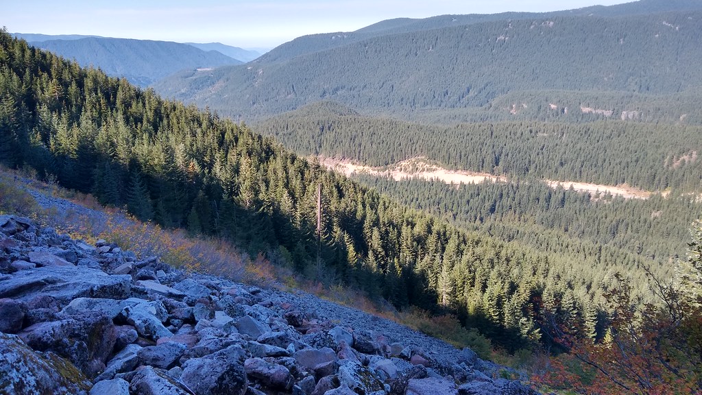 Photo: mjfmjfmjf, CC BY 2.0 (via Flickr)
Hidden Lake Trail #779
~5 min drive
8.38-mile out-and-back hike to Hidden Lake in Oregon with 2,744 ft elevation gain.
 Photo: mjfmjfmjf, CC BY 2.0 (via Flickr)
Mirror Lake Trail #664
~6 min drive
5.02-mile out-and-back trail in Oregon with 2,535 ft elevation gain and loss.
Photo: Scott Cameron, CC BY 3.0 (via Wikimedia Commons)Timberline to Town Trail #756
~4 min drive
4.87-mile out-and-back hike from Timberline to Town in Oregon with 2,042 ft gain
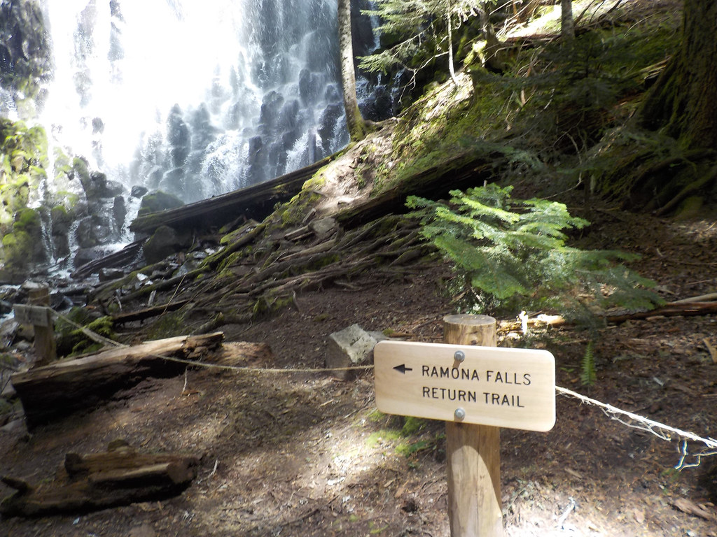 Photo: Forest Service Pacific Northwest Region, Public Domain Mark (via Flickr)
Mt. Hood Timberline Trail
~5 min drive
29.19-mile point-to-point trail on Mount Hood with 5,243 ft gain.
 Photo: U.S. Forest Service- Pacific Northwest Region, Public domain (via Wikimedia Commons)
Cast Creek Trail #773
~6 min drive
10-mile out-and-back trail in Oregon with 3,826 ft elevation gain and loss.
 Photo: Forest Service Pacific Northwest Region, Public Domain Mark (via Flickr)
HIDDEN LAKE
~5 min drive
7.26-mile out-and-back trail to Hidden Lake in Oregon with 2,430 ft elevation gain.
 Photo: Scott Cameron, CC BY 3.0 (via Wikimedia Commons)
Summit
~5 min drive
3.20-mile out-and-back trail in Oregon with 737 ft gain
Photo: Forest Service Pacific Northwest Region, Public Domain Mark (via Flickr)Timberline
~5 min drive
11.35-mile out-and-back trail in Oregon with 3,569 ft elevation gain.
Also worth it near here
Map and trail data © OpenStreetMap contributors


