Burnt Lake campsite #3
Campground
Campground · 2.6 mi from the trail
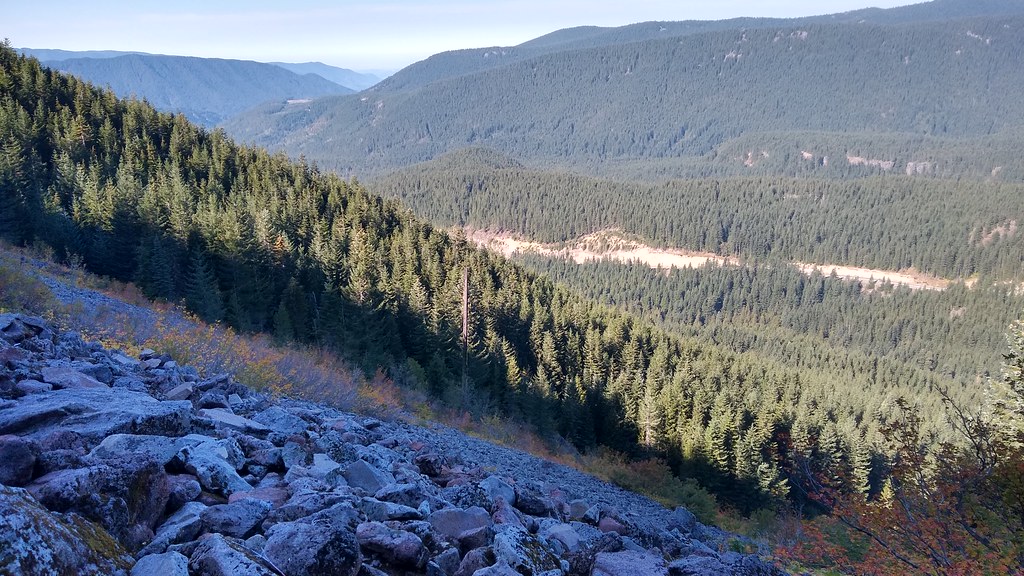 Photo: mjfmjfmjf, CC BY 2.0 (via Flickr)
Alert in the area
The Forest Service lists 5 alerts for Mt. Hood National Forest.
Tamanawas Falls Trail closed due to instability hazards
Agency alert covering Mt. Hood National Forest · USFS · Mt. Hood National Forest
Tamarack Quarry closed beginning Sept. 1
Agency alert covering Zigzag Ranger District · Order 06-06-09-26-12 · USFS · Zigzag Ranger District
Eagle Creek Fire Area Closures
Agency alert covering Mt. Hood National Forest · Order 06-22-01-26-04 · USFS · Mt. Hood National Forest
FR 4613 road damage- use caution
Agency alert covering Mt. Hood National Forest · USFS · Mt. Hood National Forest
Crane Creek bridge closed on the Barlow Road
Agency alert covering Mt. Hood National Forest · USFS · Mt. Hood National Forest
As of · Source: USFS · Mt. Hood National Forest. Agencies don't list every closure — check before you go.
Hidden Lake Trail #779 is an out-and-back hike in Oregon's Mt. Hood National Forest, within the Zigzag Ranger District. The trail is managed by the Forest Service and is rated expert, with a total round-trip distance of about 8.4 miles and a total elevation gain of about 2,744 feet. The route starts at about 3,104 feet and climbs to a high point of about 5,716 feet, with the steepest stretch around the 2-mile mark, where the grade reaches about 32%. The climb is front-loaded, so the hardest part comes early. Plan for about four hours on the trail. The trailhead sits right next to Hidden Lake, and Laurel Hill Chute is about 0.2 miles away. Kiwanis Camp Crag, a climbing area, is about 0.6 miles off, and the Zigzag River offers paddling about 1.7 miles away.
Burnt Lake campsite #3
Campground
Underwater Viewing Chamber
Attraction
Places © OpenStreetMap contributors
More in Mount Hood VillagesNot on Roamze yet. Their page has how to reach them.
Hidden LakeHikingPhoto: mjfmjfmjf, CC BY 2.0 (via Flickr)0.1 mi Laurel Hill ChuteHikingPhoto: mjfmjfmjf, CC BY 2.0 (via Flickr)0.2 mi
 Zigzag RiverCanoeingPhoto: U.S. Forest Service- Pacific Northwest Region, Public domain (via Wikimedia Commons)1.7 mi
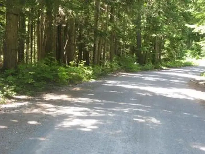 Still CreekCampingPhoto: Recreation.gov (RIDB) / public domain3.3 mi
 Camp CreekCampingPhoto: Recreation.gov (RIDB) / public domain3.3 mi
 Salmon RiverCanoeingPhoto: EncMstr, CC BY-SA 3.0 (via Wikimedia Commons)4.9 mi
Source: Roamze catalog (indexable pages within 10 miles, PostGIS distance)
Laurel Hill ChuteHiking · Next doorPhoto: mjfmjfmjf, CC BY 2.0 (via Flickr) HIDDEN LAKEHiking · Next doorPhoto: Forest Service Pacific Northwest Region, Public Domain Mark (via Flickr)
 Mirror Lake Trail #664Hiking · ~1 min drivePhoto: mjfmjfmjf, CC BY 2.0 (via Flickr)
 Paradise Park Trail #778Hiking · ~5 min drivePhoto: U.S. Forest Service- Pacific Northwest Region, Public domain (via Wikimedia Commons)Little Zigzag FallsHiking · Next doorPhoto: mjfmjfmjf, CC BY 2.0 (via Flickr)
 MIRROR LAKE SNOWSHOEHiking · ~2 min drivePhoto: Oregon's Mt. Hood Territory., Public domain (via Wikimedia Commons)
 Pioneer Bridle Trail #795Hiking · ~3 min drivePhoto: mjfmjfmjf, CC BY 2.0 (via Flickr)Mirror Lake Trail #664Hiking · ~2 min drivePhoto: Oregon's Mt. Hood Territory., Public domain (via Wikimedia Commons)
 Gnar-Gnar TrailHiking · ~3 min drivePhoto: mjfmjfmjf, CC BY 2.0 (via Flickr)
 Pioneer BridleHiking · ~4 min drivePhoto: Robert Ashworth from Bellingham, WA., USA, CC BY 2.0 (via Wikimedia Commons)
Map and trail data © OpenStreetMap contributors
