Campbell Scout Ranch
Campground
Campground · 6.3 mi from the trail
Foothills Trail (365) is a short, easy out-and-back hike on land managed by the Bureau of Indian Affairs in New Mexico, about 1.2 miles from the community of Sandia Heights. The trail is just 0.36 miles long, with a low point of 6,512 feet and a high of 6,648 feet, so the climb is gentle, with an elevation gain of 115 feet one way. Late spring and early fall are the most comfortable times to go. Typical averages from the Sandia Park weather station, about 6.5 miles away, show May highs around 73°F and September highs around 77°F, while winter highs there sit in the low to mid 40s. Several other routes and climbing areas sit close by. Foothills Trail North and Tram Tower 1 Trail are each about 0.1 mile away, The Tram is about 0.2 mile off, and the Albuquerque Area climbing area is about 0.4 mile away.
Campbell Scout Ranch
Campground
 If it rainsJim Legans, Jr from Albuquerque, New Mexico, CC BY 2.0 · Wikimedia Commons
Folk art museum in Sandia Park, New Mexico
Places © OpenStreetMap contributors, Places © Overture Maps Foundation · Photos: Jim Legans, Jr from Albuquerque, New Mexico, CC BY 2.0 (commons)
More in Santo Domingo PuebloNot on Roamze yet. Their page has how to reach them.
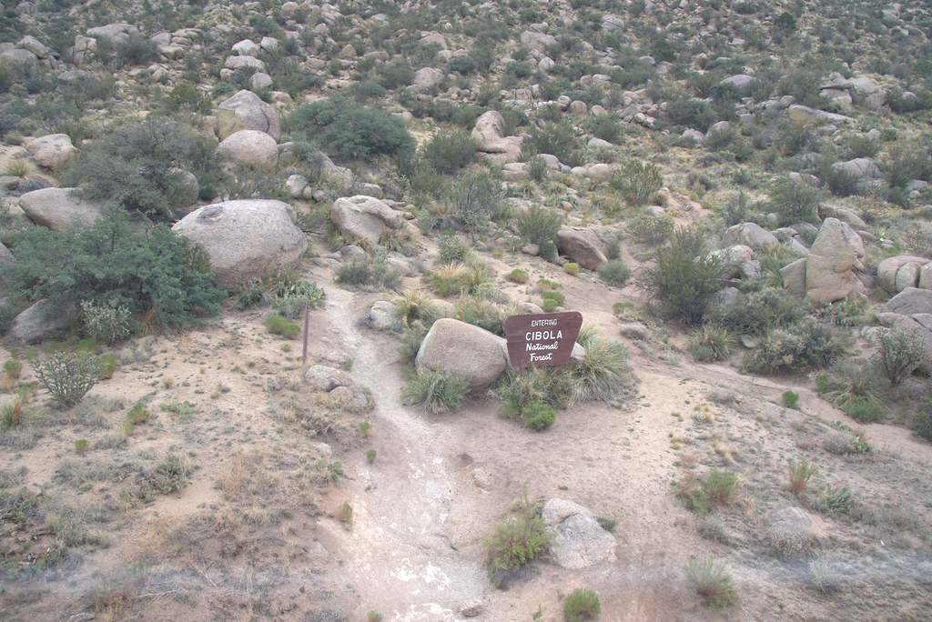 Foothills Trail NorthHikingPhoto: Ktr101, CC BY-SA 2.0 (via Flickr)0.1 miTramwayHikingPhoto: Ktr101, CC BY-SA 2.0 (via Flickr)0.6 mi
 Lower Domingo Baca Slabs (AKA: The Ribcage)Rock climbingPhoto: Kevin Stroup, CC BY 3.0 (via Wikimedia Commons)1 mi
Source: Roamze catalog (indexable pages within 10 miles, PostGIS distance)
Tramway Loop NortheastHiking · Next doorPhoto: Ktr101, CC BY-SA 2.0 (via Flickr) Tierra Monte South TrailHiking · ~2 min drivePhoto: Ktr101, CC BY-SA 2.0 (via Flickr)
 Domingo BacaHiking · ~3 min drivePhoto: Ktr101, CC BY-SA 2.0 (via Flickr)
 North Crest TrailHiking · ~4 min drivePhoto: dconvertini, CC BY-SA 2.0 (via Flickr)TramwayHiking · Next doorPhoto: Ktr101, CC BY-SA 2.0 (via Flickr)Old La Luz TrailHiking · ~3 min drivePhoto: dconvertini, CC BY-SA 2.0 (via Flickr)
 North Pino Canyon RouteHiking · ~3 min drivePhoto: maximalideal, CC BY-SA 2.0 (via Flickr)
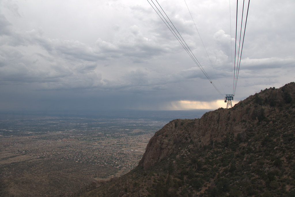 Domingo BacaHiking · ~2 min drivePhoto: Ktr101, CC BY-SA 2.0 (via Flickr)
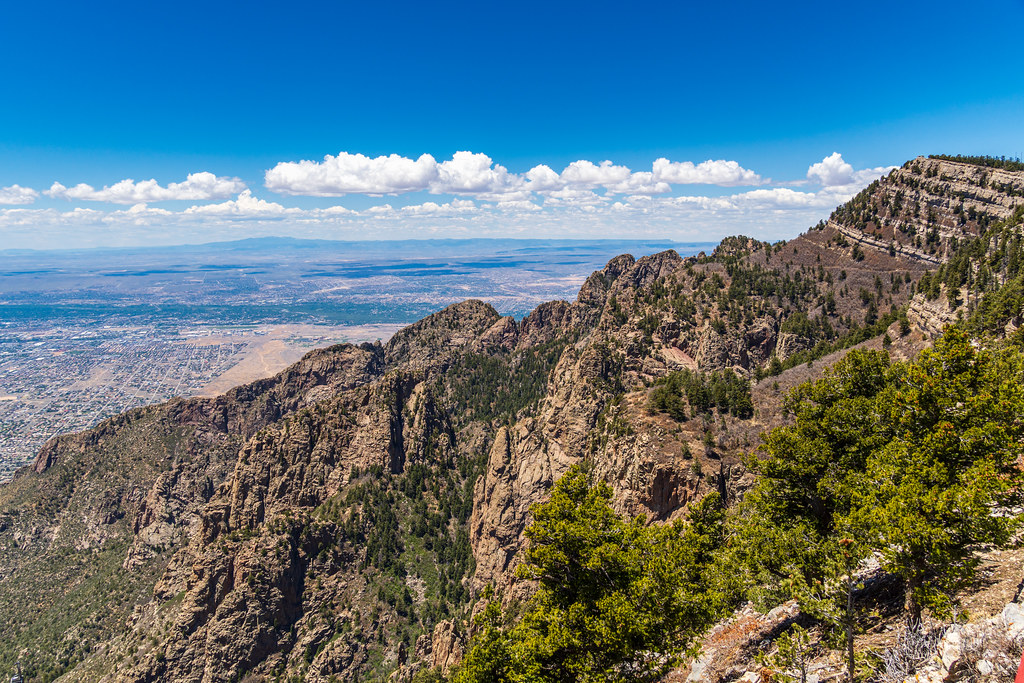 Chimney Canyon RouteHiking · ~3 min drivePhoto: dconvertini, CC BY-SA 2.0 (via Flickr)PinoHiking · ~3 min drivePhoto: maximalideal, CC BY-SA 2.0 (via Flickr)
Best months: April–October. Best months have typical highs of 55–85 °F, lows of 30 °F or warmer (32 °F where the station doesn't record snow), at most one snowy day and no more than 12 wet days.
Jan
44° / 19°
Feb
48° / 22°
Mar
55° / 26°
Apr
63° / 34°
May
73° / 41°
Jun
83° / 49°
Jul
83° / 53°
Aug
80° / 52°
Sep
77° / 46°
Oct
65° / 36°
Nov
54° / 24°
Dec
43° / 18°
Typical high / low (°F) and days with rain or snow, 1991–2020. Measured at Sandia Park, NM, 6.5 mi away at 7,030 ft. This station doesn't record snowfall. Source: NOAA NCEI U.S. Climate Normals 1991–2020.
Map and trail data © OpenStreetMap contributors
