Campbell Scout Ranch
Campground
Campground · 5.8 mi from the trail
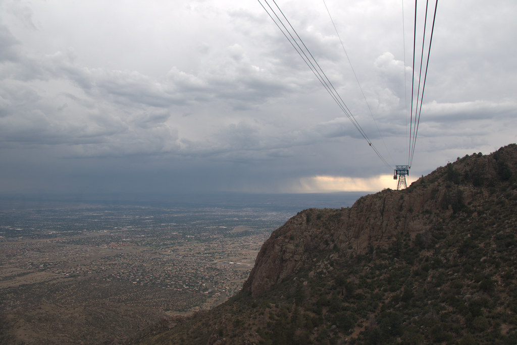 Photo: Ktr101, CC BY-SA 2.0 (via Flickr)
Closure in the area
There's a closure order in Sandia Ranger District. It doesn't name Domingo Baca, so check the source for the area it covers (3 listed).
Area Closure for Recreation Residence Structures and Property at 91 Casa Loma Road
Agency closure covering Sandia Ranger District · Order 03-03-05-26-14 · USFS · Sandia Ranger District
Area Closure for Recreation Residence Structures and Property at 69 Casa Loma Road
Agency closure covering Sandia Ranger District · Order 03-03-05-26-13 · USFS · Sandia Ranger District
Area Closure for Sandia Crest “Switchback” Hazard Tree and Fuel Reduction Project
Agency closure covering Sandia Ranger District · Order 03-03-05-26-02 · USFS · Sandia Ranger District
Mountainair and Sandia Ranger Districts Stage 1 Fire Restriction Lifted
Agency alert covering Sandia Ranger District · Order 03-03-00-26-20 · USFS · Sandia Ranger District
Mountainair and Sandia Ranger Districts Stage 1 Fire Restriction Order 03-03-00-26-05
Agency alert covering Sandia Ranger District · Order 03-03-00-26-05 · USFS · Sandia Ranger District
As of · Source: USFS · Sandia Ranger District. Agencies don't list every closure — check before you go.
Domingo Baca is an easy, short hike in New Mexico's Sandia Mountain Wilderness, part of the Sandia Ranger District of Cibola National Forest. It's a 0.5-mile out-and-back with a 100-foot elevation gain, so it's a quick addition to a day in the area. The trail starts at the Elena Gallegos picnic area and climbs from a low point of about 6,690 feet to a high of about 6,810 feet. The surrounding land is managed as city land, and the hike's close proximity to several other trails and climbing areas makes it easy to fold into a longer outing. Spring and fall are the most comfortable times to go. Typical averages from a nearby weather station at Sandia Park show May highs around 73°F and October highs around 65°F, while winter highs stay in the low to mid 40s. Climbers can find the Lower Domingo Baca Slabs (AKA: The Ribcage) and the Sandia Mountains about half a mile away. The Nature Trail and Trail 230A are each roughly 0.8 miles off.
Campbell Scout Ranch
Campground
County Line BBQ
Restaurant
 If it rainsJim Legans, Jr from Albuquerque, New Mexico, CC BY 2.0 · Wikimedia Commons
Folk art museum in Sandia Park, New Mexico
Places © OpenStreetMap contributors · Photos: Jim Legans, Jr from Albuquerque, New Mexico, CC BY 2.0 (commons)
More in Santo Domingo PuebloNot on Roamze yet. Their page has how to reach them.
Best months: April–October. Best months have typical highs of 55–85 °F, lows of 30 °F or warmer (32 °F where the station doesn't record snow), at most one snowy day and no more than 12 wet days.
Jan
44° / 19°
Feb
48° / 22°
Mar
55° / 26°
Apr
63° / 34°
May
73° / 41°
Jun
83° / 49°
Jul
83° / 53°
Aug
80° / 52°
Sep
77° / 46°
Oct
65° / 36°
Nov
54° / 24°
Dec
43° / 18°
Typical high / low (°F) and days with rain or snow, 1991–2020. Measured at Sandia Park, NM, 6.3 mi away at 7,030 ft. This station doesn't record snowfall. Source: NOAA NCEI U.S. Climate Normals 1991–2020.
 Photo: Kevin Stroup, CC BY 3.0 (via Wikimedia Commons)
Trail 230C
~1 min drive
0.17-mile out-and-back trail in New Mexico with 9 ft of elevation gain.
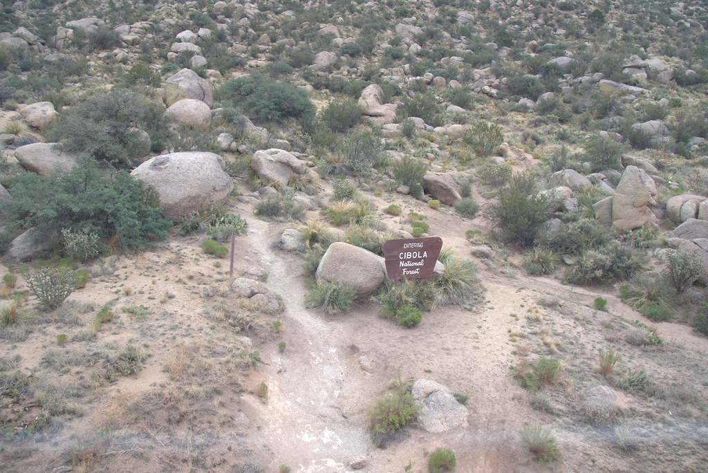 Photo: Ktr101, CC BY-SA 2.0 (via Flickr)
Foothills Trail North
~2 min drive
11.38-mile out-and-back trail in New Mexico with 1,274 ft gain and 6,664 ft max elevation.
 Photo: Ktr101, CC BY-SA 2.0 (via Flickr)
Tierra Monte South Trail
~4 min drive
0.82-mile out-and-back trail in New Mexico with 296 ft gain and 6,771 ft max elevation.
 Photo: eekim, CC BY 2.0 (via Flickr)
Trail 230B
~1 min drive
0.07-mile lollipop trail in New Mexico with 9 feet of elevation loss.
 Photo: maximalideal, CC BY-SA 2.0 (via Flickr)
North Pino Canyon Route
~2 min drive
4.1-mile out-and-back trail in New Mexico with 1,604 ft elevation gain
 Photo: dconvertini, CC BY-SA 2.0 (via Flickr)
Old La Luz Trail
~4 min drive
1.21-mile out-and-back trail in New Mexico with 1,627 ft of elevation gain.
Photo: eekim, CC BY 2.0 (via Flickr)Nature Trail
~1 min drive
0.31-mile lollipop trail in New Mexico with 78 ft elevation gain.
Photo: maximalideal, CC BY-SA 2.0 (via Flickr)Pino
~2 min drive
Pino is an 8.06-mile out-and-back trail in New Mexico with 2950 feet of elevation gain.
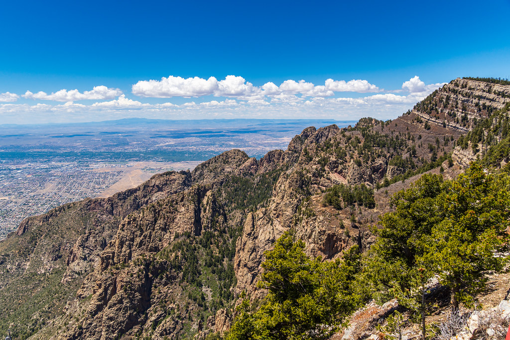 Photo: dconvertini, CC BY-SA 2.0 (via Flickr)
Chimney Canyon Route
~4 min drive
1.49-mile out-and-back trail in New Mexico with 2,691 ft elevation gain.
Photo: eekim, CC BY 2.0 (via Flickr)Kiwanis Picnic Area Trail
~1 min drive
0.06-mile lollipop trail in New Mexico with 18 ft of elevation gain.
Map and trail data © OpenStreetMap contributors
