Campbell Scout Ranch
Campground
Campground · 6.3 mi from the trail
 Photo: dconvertini, CC BY-SA 2.0 (via Flickr)
Closure in the area
There's a closure order in Sandia Ranger District. It doesn't name Old La Luz Trail, so check the source for the area it covers (3 listed).
Area Closure for Recreation Residence Structures and Property at 91 Casa Loma Road
Agency closure covering Sandia Ranger District · Order 03-03-05-26-14 · USFS · Sandia Ranger District
Area Closure for Recreation Residence Structures and Property at 69 Casa Loma Road
Agency closure covering Sandia Ranger District · Order 03-03-05-26-13 · USFS · Sandia Ranger District
Area Closure for Sandia Crest “Switchback” Hazard Tree and Fuel Reduction Project
Agency closure covering Sandia Ranger District · Order 03-03-05-26-02 · USFS · Sandia Ranger District
Mountainair and Sandia Ranger Districts Stage 1 Fire Restriction Lifted
Agency alert covering Sandia Ranger District · Order 03-03-00-26-20 · USFS · Sandia Ranger District
Mountainair and Sandia Ranger Districts Stage 1 Fire Restriction Order 03-03-00-26-05
Agency alert covering Sandia Ranger District · Order 03-03-00-26-05 · USFS · Sandia Ranger District
As of · Source: USFS · Sandia Ranger District. Agencies don't list every closure — check before you go.
Old La Luz Trail is a 2.4-mile out-and-back hike in the Sandia Mountain Wilderness, part of the Sandia Ranger District of Cibola National Forest in New Mexico. The trail climbs from about 8,260 feet to 9,617 feet, a gain of 1,323 feet, and is rated moderate. The route starts and ends at the same point, so the 1,323-foot gain is one way. The trail lies within designated wilderness, and the Forest Service manages the surrounding land. Several other routes and climbing areas sit close by. Chimney Canyon Route is about 0.1 mile away, and Old La Luz (137B) is about 0.2 mile away. The Gemstone East and Gemstone West climbing areas are each about 0.6 mile away, and the Drinking Fountain Trail (207) is about 0.8 mile away.
Campbell Scout Ranch
Campground
 If it rainsJim Legans, Jr from Albuquerque, New Mexico, CC BY 2.0 · Wikimedia Commons
Folk art museum in Sandia Park, New Mexico
Places © OpenStreetMap contributors · Photos: Jim Legans, Jr from Albuquerque, New Mexico, CC BY 2.0 (commons)
More in Santo Domingo PuebloNot on Roamze yet. Their page has how to reach them.
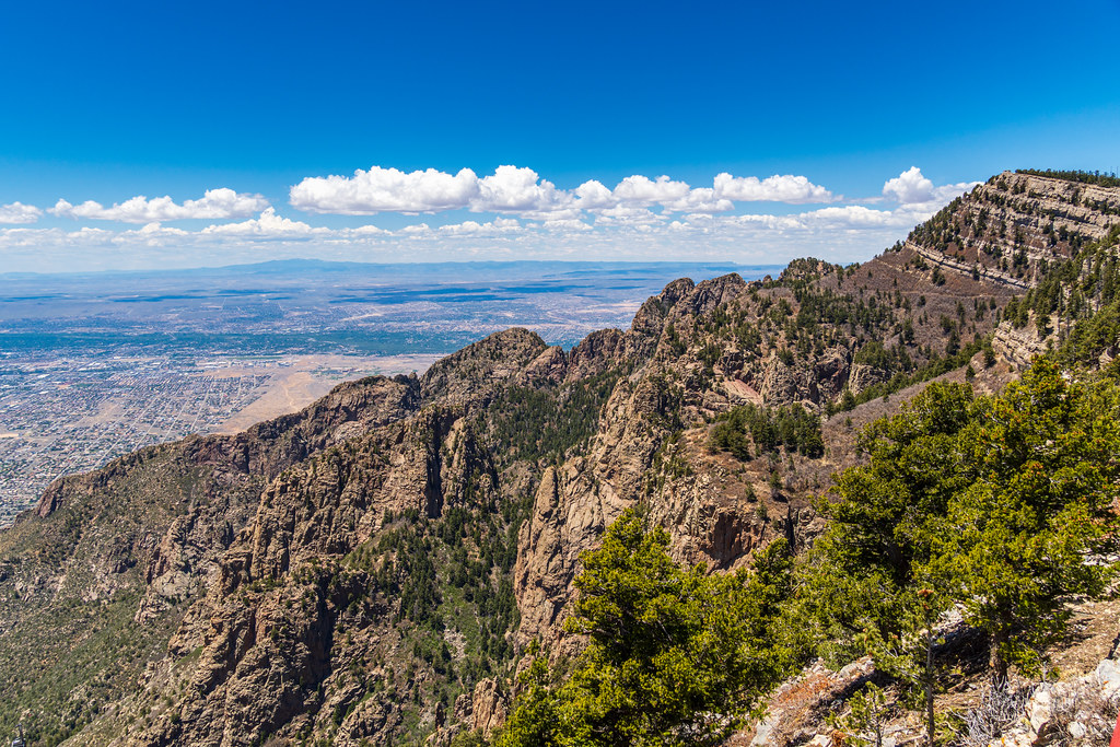 Photo: dconvertini, CC BY-SA 2.0 (via Flickr)
Chimney Canyon Route
Next door
1.49-mile out-and-back trail in New Mexico with 2,691 ft elevation gain.
 Photo: dconvertini, CC BY-SA 2.0 (via Flickr)
Royce's Trail
~1 min drive
Steep 0.63-mile climb with 798 ft elevation gain near Royce's Trail, NM.
Photo: dconvertini, CC BY-SA 2.0 (via Flickr)North Crest Trail
~2 min drive
10.50-mile out-and-back trail in New Mexico with 4,148 ft elevation gain.
Photo: dconvertini, CC BY-SA 2.0 (via Flickr)Challenge
~3 min drive
12.69-mile out-and-back trail in New Mexico with 761 ft elevation gain.
Photo: dconvertini, CC BY-SA 2.0 (via Flickr)Switchback
~2 min drive
3.17-mile out-and-back trail in New Mexico with 471 ft gain.
 Photo: Ktr101, CC BY-SA 2.0 (via Flickr)
La Cueva Trail
~2 min drive
0.33-mile out-and-back trail in New Mexico with 289 ft gain.
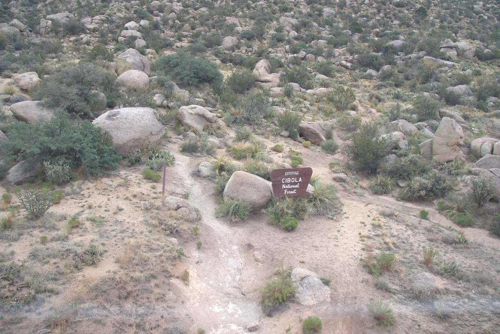 Photo: Ktr101, CC BY-SA 2.0 (via Flickr)
Foothills Trail North
~3 min drive
11.38-mile out-and-back trail in New Mexico with 1,274 ft gain and 6,664 ft max elevation.
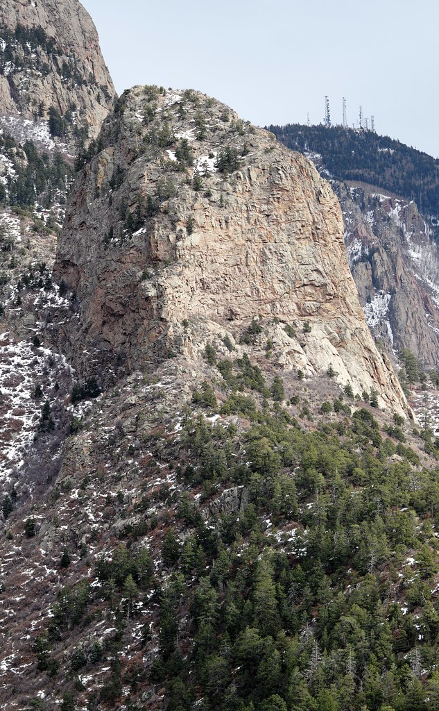 Photo: uıɐɾ ʞ ʇɐɯɐs, CC BY-SA 2.0 (via Flickr)
Piedra Lisa - La Luz Link Trail Trail
~2 min drive
0.76-mile out-and-back trail in New Mexico with 282 ft elevation gain.
 Photo: _jmeeter — CC BY-SA 2.0 (via Flickr)
Kiwanis Cabin Trail
~2 min drive
0.51-mile out-and-back hike to Kiwanis Cabin with 392 ft gain in New Mexico.
HIKE
La Luz
~2 min drive
14.12-mile out-and-back trail in New Mexico with 4,216 ft elevation gain.
Map and trail data © OpenStreetMap contributors
