Osceola Road
- 5.7 mi
- round trip
- 1,878 ft
- climb
- 7,632 ft
- high point
- Out and back
- route
- Apr–Oct
- best months
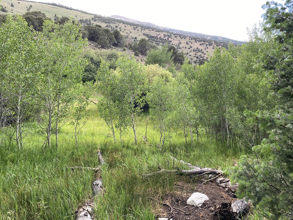
Osceola Road is a hard out-and-back hike of about 11.5 miles on Bureau of Land Management land in Nevada's Bristlecone Field Office. The route starts at a low point of about 5,764 feet and climbs to a high of roughly 7,632 feet, with a total elevation gain of about 1,878 feet. That makes it a long, steep day on foot. For comfortable weather, aim for late spring or early fall. Typical averages from a nearby weather station show May highs around 64°F and September highs around 73°F, with July the warmest month at about 85°F. That station sits a few hundred feet lower than the high point, so temperatures up top run a little cooler. The Adt - Nevada - S - Seg 1 hike starts just 0.1 mile away, and the Sac Pass Loop and Osceola Ditch Trail are both about 3.8 miles off. For a longer goal, Wheeler Peak lies about 6.8 miles away.
- Adt - Nevada - S - Seg 1Hiking0.1 mi
- Sac Pass LoopHiking3.8 mi
- Osceola Ditch TrailHiking3.8 mi
- Lucky Boy LoopHiking4.2 mi
- Mine Shaft LoopHiking4.4 mi
- Upper Strawberry TrailHiking4.6 mi
- Sage Steppe loop trailHiking4.8 mi
 Wheeler PeakHikingPhoto: Seth Tisue, CC BY-SA 2.0 (via Flickr)6.8 mi
Source: Roamze catalog (indexable pages within 10 miles, PostGIS distance)
- Wheeler PeakHiking · ~12 min drivePhoto: Seth Tisue, CC BY-SA 2.0 (via Flickr)
- Wheeler Peak Summit TrailHiking · ~12 min drivePhoto: Seth Tisue, CC BY-SA 2.0 (via Flickr)
 Alpine Lakes Loop TrailHiking · ~12 min drivePhoto: Ken Lund, CC BY-SA 2.0 (via Flickr)
 Timber Creek TrailHiking · ~19 min drivePhoto: Ken Lund, CC BY-SA 2.0 (via Flickr)
- Wheeler Peak Summit TrailHiking · ~12 min drivePhoto: Ken Lund, CC BY-SA 2.0 (via Flickr)
- Summit TrailheadHiking · ~12 min drive
 Osceola Ditch TrailheadHiking · ~13 min drivePhoto: Seth Tisue, CC BY-SA 2.0 (via Flickr)
- Trail CanyonHiking · ~16 min drive
 Baker Creek TrailHiking · ~18 min drivePhoto: cm195902, CC BY 2.0 (via Flickr)
- Bristlecone TrailheadHiking · ~12 min drive
Best time to visit Osceola Road
Best months: April–October. Best months have typical highs of 55–85 °F, lows of 30 °F or warmer (32 °F where the station doesn't record snow), at most one snowy day and no more than 12 wet days.
Jan
40° / 20°
6 wet
Feb
41° / 21°
7 wet
Mar
48° / 27°
7 wet
Apr
55° / 32°
7 wet
May
64° / 40°
7 wet
Jun
76° / 49°
5 wet
Jul
85° / 58°
7 wet
Aug
83° / 56°
7 wet
Sep
73° / 48°
6 wet
Oct
60° / 36°
5 wet
Nov
48° / 26°
6 wet
Dec
40° / 20°
6 wet
Typical high / low (°F) and days with rain or snow, 1991–2020. Measured at Great Basin Np, NV, 10.4 mi away at 6,850 ft. The station sits about 800 ft lower than this place, so expect it a little cooler here. This station doesn't record snowfall. Source: NOAA NCEI U.S. Climate Normals 1991–2020.
Map and trail data © OpenStreetMap contributors
