Baker Creek Trail
 Photo: cm195902, CC BY 2.0 (via Flickr)
- 5.7 mi
- round trip
- 5,363 ft
- climb
- 10,618 ft
- high point
- Out and back
- route
Is Baker Creek Trail open right now?
Closure in the area
There's a closure order in Great Basin National Park. It doesn't name Baker Creek Trail, so check the source for the area it covers.
Wheeler Peak Scenic Drive Winter Closure
Park closure covering Great Basin National Park · NPS · Great Basin National Park
As of · Source: NPS · Great Basin National Park. Agencies don't list every closure — check before you go.
Baker Creek Trail is a 11.3-mile out-and-back hike in Great Basin National Park in Nevada, managed by the National Park Service. It begins and ends at 10,618 feet, the high point of the route, and climbs to 10,618 feet from a low point of 7,997 feet. The total elevation gain is 5,363 feet, and the steepest stretch comes at mile 3.8 with a grade of 26 percent. The trail is rated expert, and the round trip takes about 6.5 hours. There is no fee to hike it. The trail starts at the high point, so the first stretch is a descent, and the return is an ascent. The Johnson-Baker Trail lies just 0.1 mile away, and the Highland Ridge Route is about 0.9 mile off. Glacier Trail and Bristlecone Trail are both within about 3 miles.
Keep exploring — more trails worth the drive
Photo: cm195902, CC BY 2.0 (via Flickr)Johnson-Baker Trail
Next door
A 2.09-mile out-and-back Nevada trail with accessible desert hiking.
Photo: cm195902, CC BY 2.0 (via Flickr)Highland Ridge Route
~2 min drive
18.18-mile out-and-back trail in Nevada with 6,859 ft elevation gain/loss
 Photo: Ken Lund, CC BY-SA 2.0 (via Flickr)
Glacier Trail
~4 min drive
Short alpine hike with scenic high-elevation views in Nevada.
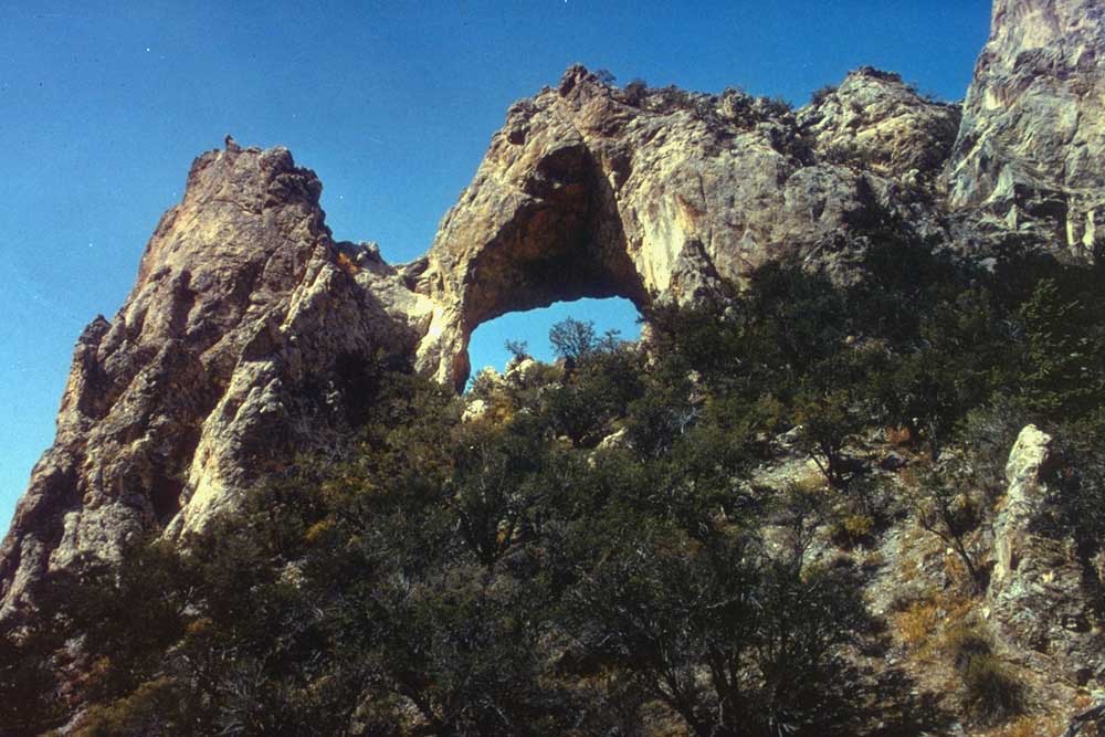
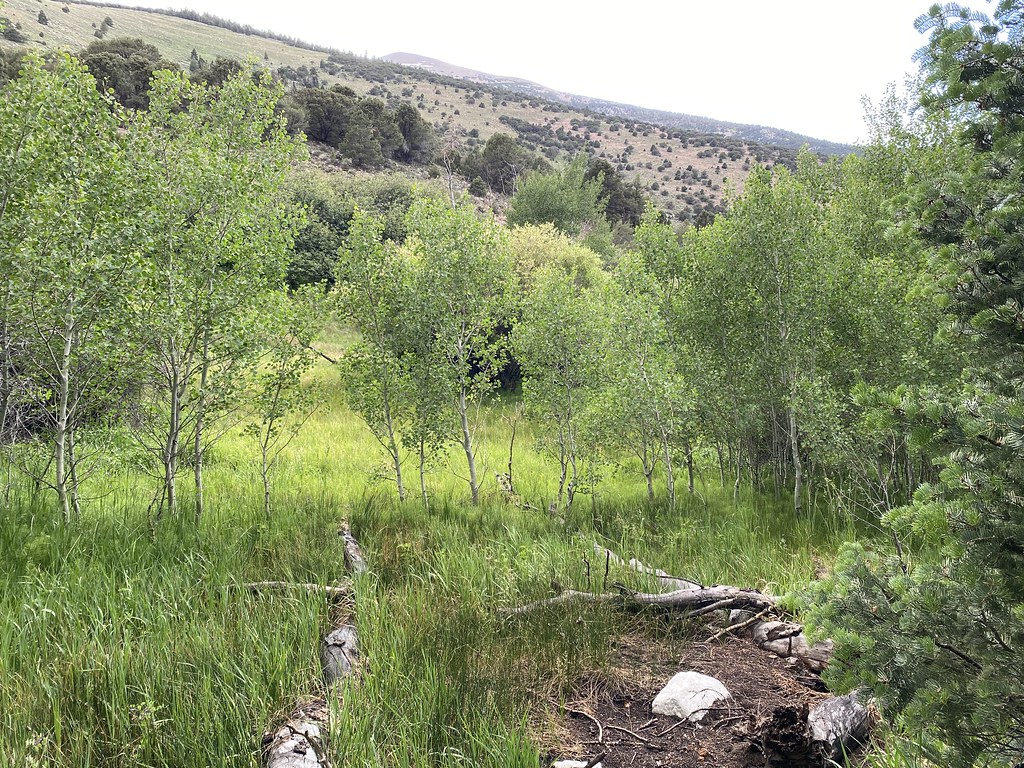 Photo: Ken Lund, CC BY-SA 2.0 (via Flickr)
Timber Creek Trail
~6 min drive
7.22-mile out-and-back trail in Nevada with 3,290 ft gain/loss and a max elevation of 9,859 ft.
Photo: Ken Lund, CC BY-SA 2.0 (via Flickr)Pole Canyon Trail
~6 min drive
7.08-mile out-and-back hike in Nevada with 2,110 ft elevation gain
 Photo: Ken Lund, CC BY-SA 2.0 (via Flickr)
Wheeler Peak Summit Trail
~6 min drive
Wheeler Peak Summit Trail is a 3.03-mile out-and-back trail in Nevada.
 Photo: Bas van Oorschot, CC BY-SA 3.0 (via Wikimedia Commons)
Baker Creek Loop Trail
~4 min drive
0.98-mile out-and-back out-and-back in Nevada with 358 ft elevation gain
HIKE
Johnson Lake Trail
~6 min drive
7.74-mile out-and-back trail in Nevada with 3,206 ft elevation gain
Photo: Ken Lund, CC BY-SA 2.0 (via Flickr)Alpine Lakes Loop Trail
~6 min drive
Scenic out-and-back alpine lake trail in Nevada's high country.
HIKE
Baker Creek Trailhead
~6 min drive
Located about three miles up the Baker Creek Road, the Baker Creek Trailhead has access to three trails; South Fork Baker trail, Timber Creek Trail, and Baker Lake. These trails venture through aspen groves and pine tree stands up to alpine lakes and meadows. Parking is limit…

Map and trail data © OpenStreetMap contributors
